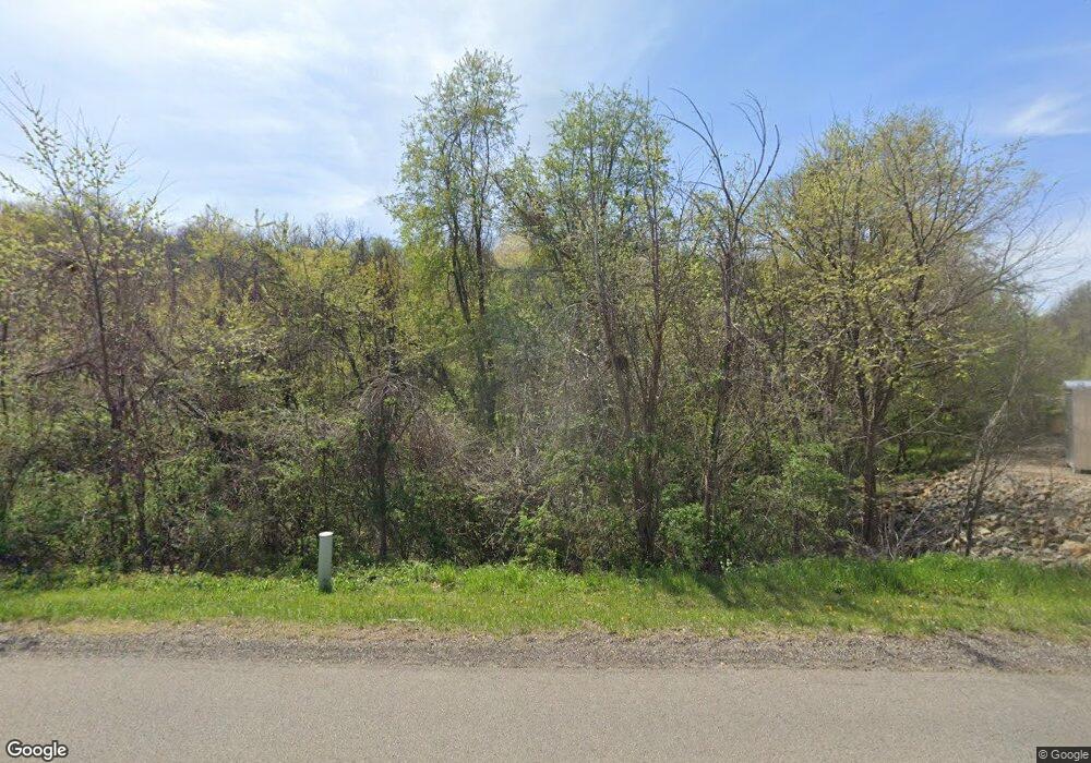
10185 Pleasant Valley Rd Nashport, OH 43830
Estimated Value: $514,000 - $977,000
2
Beds
2
Baths
3,360
Sq Ft
$232/Sq Ft
Est. Value
About This Home
This home is located at 10185 Pleasant Valley Rd, Nashport, OH 43830 and is currently estimated at $778,333, approximately $231 per square foot. 10185 Pleasant Valley Rd is a home with nearby schools including Licking Valley Elementary School, Licking Valley Middle School, and Licking Valley High School.
Ownership History
Date
Name
Owned For
Owner Type
Purchase Details
Closed on
May 21, 2020
Sold by
Jaelew Ltd
Bought by
Griffith Craig A and Griffith Keri L
Current Estimated Value
Home Financials for this Owner
Home Financials are based on the most recent Mortgage that was taken out on this home.
Original Mortgage
$1,396,300
Outstanding Balance
$1,237,315
Interest Rate
3.3%
Mortgage Type
Unknown
Estimated Equity
-$458,982
Purchase Details
Closed on
Mar 1, 2006
Sold by
Mcclintick Patricia
Bought by
Jaelew Ltd
Home Financials for this Owner
Home Financials are based on the most recent Mortgage that was taken out on this home.
Original Mortgage
$1,000,000
Interest Rate
6.2%
Mortgage Type
Purchase Money Mortgage
Create a Home Valuation Report for This Property
The Home Valuation Report is an in-depth analysis detailing your home's value as well as a comparison with similar homes in the area
Home Values in the Area
Average Home Value in this Area
Purchase History
| Date | Buyer | Sale Price | Title Company |
|---|---|---|---|
| Griffith Craig A | $318,000 | None Available | |
| Jaelew Ltd | $224,700 | Central |
Source: Public Records
Mortgage History
| Date | Status | Borrower | Loan Amount |
|---|---|---|---|
| Open | Griffith Craig A | $1,396,300 | |
| Previous Owner | Jaelew Ltd | $1,000,000 |
Source: Public Records
Tax History Compared to Growth
Tax History
| Year | Tax Paid | Tax Assessment Tax Assessment Total Assessment is a certain percentage of the fair market value that is determined by local assessors to be the total taxable value of land and additions on the property. | Land | Improvement |
|---|---|---|---|---|
| 2024 | $3,277 | $254,040 | $184,210 | $69,830 |
| 2023 | $3,380 | $254,040 | $184,210 | $69,830 |
| 2022 | $1,093 | $126,290 | $112,810 | $13,480 |
| 2021 | $1,121 | $126,290 | $112,810 | $13,480 |
| 2020 | $1,121 | $126,290 | $112,810 | $13,480 |
| 2019 | $817 | $111,690 | $102,550 | $9,140 |
| 2018 | $821 | $111,685 | $102,550 | $9,135 |
| 2017 | $940 | $0 | $0 | $0 |
| 2016 | $1,106 | $0 | $0 | $0 |
| 2015 | $1,057 | $0 | $0 | $0 |
| 2014 | $674 | $0 | $0 | $0 |
| 2013 | $355 | $0 | $0 | $0 |
Source: Public Records
Map
Nearby Homes
- 3615 Dragoo Rd
- 19121 Marne Rd
- 9360 Black Run Rd
- 4338 Briarcliff Rd
- 0 Briarcliff Rd
- 6255 Licking Valley Rd
- 10345 Marne Rd
- 10315 Marne Rd
- 9280 Lentz Rd
- 0 Briarcliff Rd Unit LotWP001
- 0 Briarcliff Rd Unit 225040314
- 0 Briarcliff Rd Unit 225040309
- 0 Briarcliff Rd Unit 225040316
- 0 Briarcliff Rd Unit LotWP002
- 0 Briarcliff Rd Unit LotWP003
- 12375 Hamby Hill Rd
- 3286 Licking Valley Rd NE
- 8140 Blackrun Rd
- 9945 Newark Rd
- 13066 Hamby Hill Rd
- 10185 Blackrun Rd
- 10185 Black Run Rd
- 3594 Evans Rd
- 3462 Evans Rd
- 10410 Blackrun Rd
- 3460 Evans Rd
- 3174 Evans Rd
- 3458 Evans Rd
- 10660 Blackrun Rd
- 9995 Blackrun Rd
- 0 Evans Rd Unit 2337105
- 0 Evans Rd Unit 4121109
- 0 Evans Rd Unit 223031949
- 2932-3046 Evans Rd
- 3290-3322 Evans Rd
- 0 Evans Rd Unit 27 acres 219037250
- 0 Evans Rd
- 10680 Blackrun Rd
- 4348 Evans Rd
- 10010 Black Run Rd
