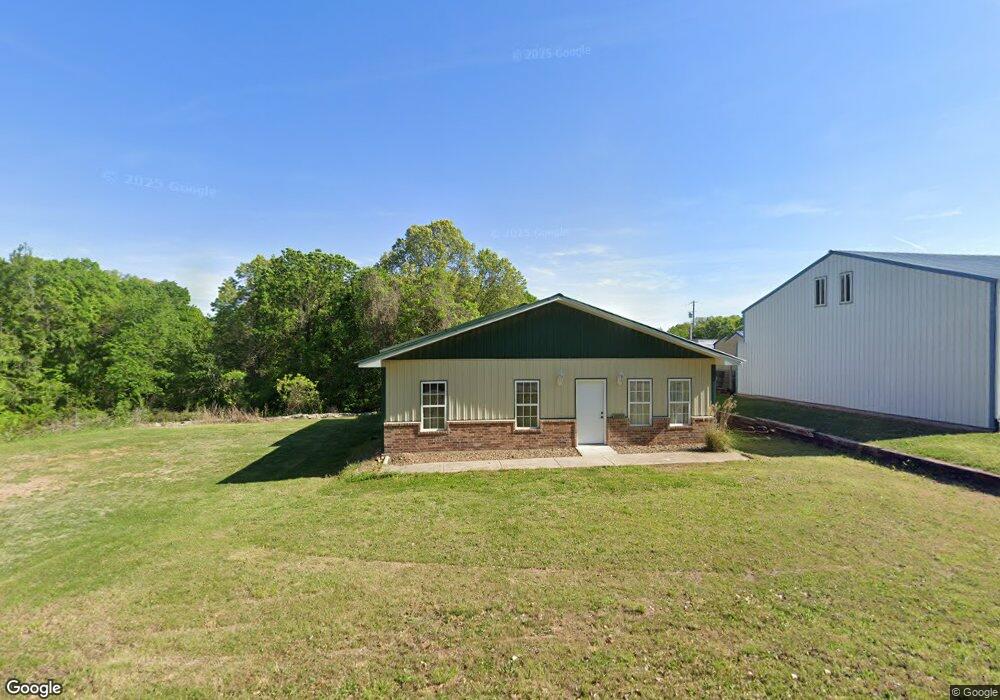
10187 Howland Rd Bentonville, AR 72712
Estimated Value: $183,655
--
Bed
--
Bath
2,284
Sq Ft
$80/Sq Ft
Est. Value
About This Home
This home is located at 10187 Howland Rd, Bentonville, AR 72712 and is currently estimated at $183,655, approximately $80 per square foot. 10187 Howland Rd is a home located in Benton County with nearby schools including Thomas Jefferson Elementary School, Lincoln Junior High School, and Old High Middle School.
Ownership History
Date
Name
Owned For
Owner Type
Purchase Details
Closed on
Feb 25, 2016
Sold by
Wesbecher Jill A and Wesbecher Mark A
Bought by
Wesbecher Enterprises Llc
Current Estimated Value
Purchase Details
Closed on
Oct 29, 2015
Sold by
Stober Scott A
Bought by
Wesbecher Jill A
Purchase Details
Closed on
Feb 21, 2006
Sold by
Kimes Leon and Kimes Mary Ann
Bought by
Wts Holdings Company Llc
Create a Home Valuation Report for This Property
The Home Valuation Report is an in-depth analysis detailing your home's value as well as a comparison with similar homes in the area
Home Values in the Area
Average Home Value in this Area
Purchase History
| Date | Buyer | Sale Price | Title Company |
|---|---|---|---|
| Wesbecher Enterprises Llc | -- | Attorney | |
| Wesbecher Jill A | $75,000 | Attorney | |
| Wts Holdings Company Llc | $70,000 | None Available |
Source: Public Records
Tax History Compared to Growth
Tax History
| Year | Tax Paid | Tax Assessment Tax Assessment Total Assessment is a certain percentage of the fair market value that is determined by local assessors to be the total taxable value of land and additions on the property. | Land | Improvement |
|---|---|---|---|---|
| 2025 | $1,093 | $31,747 | $15,000 | $16,747 |
| 2024 | $1,003 | $31,747 | $15,000 | $16,747 |
| 2023 | $912 | $16,200 | $4,000 | $12,200 |
| 2022 | $936 | $16,200 | $4,000 | $12,200 |
| 2021 | $934 | $16,200 | $4,000 | $12,200 |
| 2020 | $891 | $15,310 | $4,000 | $11,310 |
| 2019 | $891 | $15,310 | $4,000 | $11,310 |
| 2018 | $891 | $15,310 | $4,000 | $11,310 |
| 2017 | $891 | $15,310 | $4,000 | $11,310 |
| 2016 | $862 | $15,310 | $4,000 | $11,310 |
| 2015 | $1,102 | $19,570 | $2,600 | $16,970 |
| 2014 | $1,102 | $19,570 | $2,600 | $16,970 |
Source: Public Records
Map
Nearby Homes
- 0 Boxford Dr
- Lot 6 Prescot Rd
- 0 Anthony Ln Unit 1311811
- 18 Hamilton Dr
- 20 Stanton Cir
- 15 Grinstead Ln
- Lot 26, Block 2 Henrietta Ln
- 0 Amelia Cir Unit 1298352
- 3 Amelia Cir
- 0 Theodore Dr
- 28 Theodore Dr
- 52 Chatburn Dr
- 22 Miller Dr
- 30 Theodore Dr
- 46 W Elvendon Dr
- 6 Cunningham Dr
- 0 Lookout Dr
- 6 Bracknell Ln
- 41 Annabell Ln
- 3703 NW Mountainview Rd
- 10185 Howland Rd
- 11500 N Holland Ave
- 17599 Miller Church Rd
- 129 Prescot Rd
- L1 Prescot Rd
- 2 Denby Cr
- 10252 Howland Rd
- 2 Worlaby Dr
- 0 Prescot Road & Denby Cir Unit 674246
- 2 Denby Cir
- Lot 40 Block 2 Airton Cir
- 13169 Miller Church Rd
- 49Ga 49ga Ave
- 0 Holland Ave Unit 645309
- 0 Howland & Washington Rd
- 1 Denby Cir
- 0 Airton Cir
- 4 Worlaby Dr
- 0 Airton Circle & Prescot Rd Unit 1269279
- 0 Airton Circle & Prescot Rd Unit 1183733