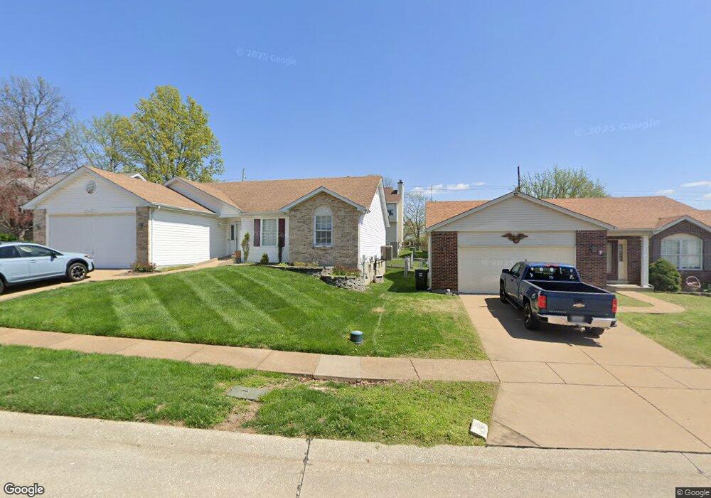
10187 Mackenzie Rd Saint Louis, MO 63123
Estimated Value: $358,711 - $387,000
4
Beds
3
Baths
2,250
Sq Ft
$165/Sq Ft
Est. Value
About This Home
This home is located at 10187 Mackenzie Rd, Saint Louis, MO 63123 and is currently estimated at $371,178, approximately $164 per square foot. 10187 Mackenzie Rd is a home located in St. Louis County with nearby schools including Bierbaum Elementary School, Margaret Buerkle Middle School, and Mehlville High School.
Ownership History
Date
Name
Owned For
Owner Type
Purchase Details
Closed on
Jun 13, 2010
Sold by
Ho Luan
Bought by
Nguyen Soan
Current Estimated Value
Purchase Details
Closed on
Jun 27, 2002
Sold by
Randall Regina E and Skeens Regina E
Bought by
Nguyen Soan and Ho Luan
Home Financials for this Owner
Home Financials are based on the most recent Mortgage that was taken out on this home.
Original Mortgage
$140,000
Interest Rate
6.69%
Purchase Details
Closed on
Sep 11, 2001
Sold by
Randall Jeffrey K
Bought by
Randall Regina E
Purchase Details
Closed on
May 20, 1999
Sold by
Randall Jeffery K and Randall Regina E
Bought by
Randall Jeffrey K and Randall Regina E
Home Financials for this Owner
Home Financials are based on the most recent Mortgage that was taken out on this home.
Original Mortgage
$138,600
Interest Rate
6.89%
Create a Home Valuation Report for This Property
The Home Valuation Report is an in-depth analysis detailing your home's value as well as a comparison with similar homes in the area
Home Values in the Area
Average Home Value in this Area
Purchase History
| Date | Buyer | Sale Price | Title Company |
|---|---|---|---|
| Nguyen Soan | -- | None Available | |
| Nguyen Soan | $180,000 | -- | |
| Randall Regina E | -- | -- | |
| Randall Jeffrey K | -- | -- |
Source: Public Records
Mortgage History
| Date | Status | Borrower | Loan Amount |
|---|---|---|---|
| Previous Owner | Nguyen Soan | $140,000 | |
| Previous Owner | Randall Jeffrey K | $138,600 |
Source: Public Records
Tax History Compared to Growth
Tax History
| Year | Tax Paid | Tax Assessment Tax Assessment Total Assessment is a certain percentage of the fair market value that is determined by local assessors to be the total taxable value of land and additions on the property. | Land | Improvement |
|---|---|---|---|---|
| 2025 | $3,632 | $60,090 | $15,690 | $44,400 |
| 2024 | $3,632 | $53,600 | $9,600 | $44,000 |
| 2023 | $3,585 | $53,600 | $9,600 | $44,000 |
| 2022 | $3,432 | $47,640 | $8,970 | $38,670 |
| 2021 | $3,045 | $47,640 | $8,970 | $38,670 |
| 2020 | $2,921 | $43,450 | $8,340 | $35,110 |
| 2019 | $2,912 | $43,450 | $8,340 | $35,110 |
| 2018 | $2,657 | $35,760 | $6,420 | $29,340 |
| 2017 | $2,653 | $35,760 | $6,420 | $29,340 |
| 2016 | $2,735 | $35,380 | $5,760 | $29,620 |
| 2015 | $2,564 | $35,380 | $5,760 | $29,620 |
| 2014 | $2,321 | $31,670 | $7,390 | $24,280 |
Source: Public Records
Map
Nearby Homes
- 10227 Concord Valley Ct
- 10118 Jeffleigh Ln
- 2 Aspen at Grove at Grant's Trail Manors
- 2 Aspen II at Grove at Grant’s Trail Manors
- 2 Manors
- 2 Berwick at Grove at Grant’s Trail Manors
- 10202 Carlton Place Ct S
- 2 Sterling at Grove at Grant’s Trail Manors
- 2 Arlington at Grove at Grant’s Trail Meadows
- 9926 Mackenzie Rd
- 2 Royal II at Grove at Grant’s Trail Manors
- 10158 Chancery Ln
- 2 Meadows
- 9928 Bonton Dr
- 2 Ashford at Grove at Grant’s Trail Manors
- 10212 Highbury Ln
- 2 Belmont at Grove at Grant’s Trail Meadows
- 4733 McCorry Dr
- 2 Meadows
- 2 Burlington at Grove at Grant’s Trail Meadows
- 10183 Mackenzie Rd
- 10191 Mackenzie Rd
- 9631 Chamblin Dr
- 9635 Chamblin Dr
- 10179 Mackenzie Rd
- 10195 Mackenzie Rd
- 9623 Chamblin Dr
- 9639 Chamblin Dr
- 10141 Hammerdale Ln
- 10175 Mackenzie Rd
- 10137 Hammerdale Ln
- 9615 Chamblin Dr
- 9643 Chamblin Dr
- 10145 Hammerdale Ln
- 9601 Chamblin Dr
- 10133 Hammerdale Ln
- 10171 Mackenzie Rd
- 9647 Chamblin Dr
- 9628 Chamblin Dr
- 9549 Chamblin Dr