10188 N Memory Ln Rathdrum, ID 83858
Estimated Value: $794,000 - $1,412,000
5
Beds
3
Baths
2,528
Sq Ft
$413/Sq Ft
Est. Value
About This Home
This home is located at 10188 N Memory Ln, Rathdrum, ID 83858 and is currently estimated at $1,044,959, approximately $413 per square foot. 10188 N Memory Ln is a home located in Kootenai County with nearby schools including Garwood Elementary School, Lakeland Middle School, and Lakeland Senior High School.
Ownership History
Date
Name
Owned For
Owner Type
Purchase Details
Closed on
Nov 16, 2010
Sold by
Grant Mark A and Grant Sally A
Bought by
Mayer Darrell and Mayer Maria
Current Estimated Value
Home Financials for this Owner
Home Financials are based on the most recent Mortgage that was taken out on this home.
Original Mortgage
$160,000
Outstanding Balance
$97,114
Interest Rate
2.75%
Mortgage Type
Adjustable Rate Mortgage/ARM
Estimated Equity
$947,845
Create a Home Valuation Report for This Property
The Home Valuation Report is an in-depth analysis detailing your home's value as well as a comparison with similar homes in the area
Home Values in the Area
Average Home Value in this Area
Purchase History
| Date | Buyer | Sale Price | Title Company |
|---|---|---|---|
| Mayer Darrell | -- | -- |
Source: Public Records
Mortgage History
| Date | Status | Borrower | Loan Amount |
|---|---|---|---|
| Open | Mayer Darrell | $160,000 |
Source: Public Records
Tax History Compared to Growth
Tax History
| Year | Tax Paid | Tax Assessment Tax Assessment Total Assessment is a certain percentage of the fair market value that is determined by local assessors to be the total taxable value of land and additions on the property. | Land | Improvement |
|---|---|---|---|---|
| 2024 | $2,563 | $785,544 | $374,720 | $410,824 |
| 2023 | $2,563 | $699,794 | $288,970 | $410,824 |
| 2022 | $3,022 | $821,933 | $370,027 | $451,906 |
| 2021 | $2,760 | $493,986 | $207,269 | $286,717 |
| 2020 | $2,575 | $404,154 | $154,366 | $249,788 |
| 2019 | $2,760 | $384,559 | $148,070 | $236,489 |
| 2018 | $2,853 | $358,596 | $140,404 | $218,192 |
| 2017 | $2,671 | $351,611 | $135,293 | $216,318 |
| 2016 | $2,381 | $333,381 | $126,630 | $206,751 |
| 2015 | $1,115 | $233,233 | $23,680 | $209,553 |
| 2013 | $995 | $266,162 | $76,763 | $189,399 |
Source: Public Records
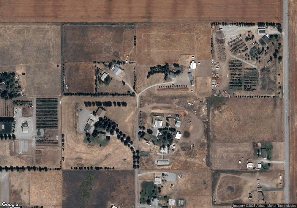
Map
Nearby Homes
- Whistler Plan at Carrington Meadows
- Carolina Plan at Carrington Meadows
- Shoreline 1312 Plan at Carrington Meadows
- The Cobblestone Plan at Carrington Meadows
- Juniper Plan at Carrington Meadows
- Woodland Plan at Carrington Meadows
- Windsor Plan at Carrington Meadows
- Prairie View Plan at Carrington Meadows
- Cambridge 1416 Plan at Carrington Meadows
- Avalon Plan at Carrington Meadows
- Park Ridge Plan at Carrington Meadows
- Cambridge 1662 Plan at Carrington Meadows
- Enclave Plan at Carrington Meadows
- Shoreline 1152 Plan at Carrington Meadows
- Empress Plan at Carrington Meadows
- 3820 W Belgrave Way
- 10199 N Liverpool Loop
- 10175 N Liverpool Loop
- 10135 N Liverpool Loop
- 10093 N Liverpool Loop
- 10210 N Memory Ln
- 10179 N Memory Ln
- 10102 N Memory Ln
- 10045 N Memory Ln
- 10431 N Huetter Rd
- 9982 N Memory Ln
- 10115 N Huetter Rd
- 10087 N Huetter Rd
- 9898 N Memory Ln
- 10207 N Memory Ln
- 0 Memory Unit 21-780
- 0 Memory Unit 20-5776
- 0 Memory
- 10009 N Huetter Rd
- 9827 N Memory Ln
- 10110 N Happy Trail
- 10200 N Happy Trail
- 9825 N Huetter Rd
- 9961 N Huetter Rd
- 10220 N Happy Trail