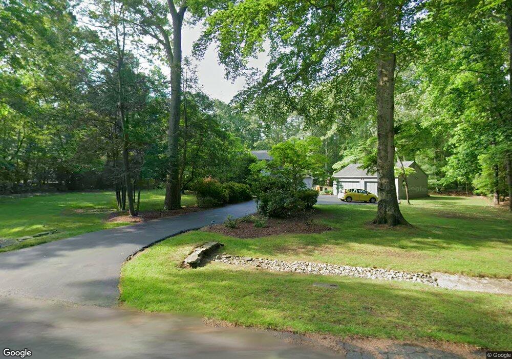
1019 Branch View Ct Harwood, MD 20776
Harwood NeighborhoodEstimated Value: $527,559 - $646,000
--
Bed
2
Baths
1,648
Sq Ft
$358/Sq Ft
Est. Value
About This Home
This home is located at 1019 Branch View Ct, Harwood, MD 20776 and is currently estimated at $589,390, approximately $357 per square foot. 1019 Branch View Ct is a home located in Anne Arundel County with nearby schools including Lothian Elementary School, Southern Middle School, and Southern High School.
Ownership History
Date
Name
Owned For
Owner Type
Purchase Details
Closed on
Jun 29, 1995
Sold by
Wood David L
Bought by
Shelton Paul K
Current Estimated Value
Home Financials for this Owner
Home Financials are based on the most recent Mortgage that was taken out on this home.
Original Mortgage
$199,500
Interest Rate
7.8%
Purchase Details
Closed on
Jan 6, 1987
Sold by
Kuhstoss Blynn O
Bought by
Wood David L
Home Financials for this Owner
Home Financials are based on the most recent Mortgage that was taken out on this home.
Original Mortgage
$85,000
Interest Rate
9.37%
Create a Home Valuation Report for This Property
The Home Valuation Report is an in-depth analysis detailing your home's value as well as a comparison with similar homes in the area
Home Values in the Area
Average Home Value in this Area
Purchase History
| Date | Buyer | Sale Price | Title Company |
|---|---|---|---|
| Shelton Paul K | $210,000 | -- | |
| Wood David L | $129,900 | -- |
Source: Public Records
Mortgage History
| Date | Status | Borrower | Loan Amount |
|---|---|---|---|
| Closed | Shelton Paul K | $199,500 | |
| Previous Owner | Wood David L | $85,000 |
Source: Public Records
Tax History Compared to Growth
Tax History
| Year | Tax Paid | Tax Assessment Tax Assessment Total Assessment is a certain percentage of the fair market value that is determined by local assessors to be the total taxable value of land and additions on the property. | Land | Improvement |
|---|---|---|---|---|
| 2025 | $4,492 | $507,167 | -- | -- |
| 2024 | $4,492 | $482,433 | $0 | $0 |
| 2023 | $4,356 | $457,700 | $240,000 | $217,700 |
| 2022 | $4,089 | $453,267 | $0 | $0 |
| 2021 | $8,051 | $448,833 | $0 | $0 |
| 2020 | $3,923 | $444,400 | $240,000 | $204,400 |
| 2019 | $3,836 | $414,567 | $0 | $0 |
| 2018 | $3,901 | $384,733 | $0 | $0 |
| 2017 | $3,569 | $354,900 | $0 | $0 |
| 2016 | -- | $351,933 | $0 | $0 |
| 2015 | -- | $348,967 | $0 | $0 |
| 2014 | -- | $346,000 | $0 | $0 |
Source: Public Records
Map
Nearby Homes
- 17436 Claggett Landing Rd
- 17905 Queen Anne Rd
- 812 Richardson Dr
- 4440 Claybrooke Dr
- 213 King James Rd
- 18106 B Central Ave
- 210 Queen Marie Ct
- 17000 Swanson Rd
- 1002 Marshalls Dr
- Hampton II Plan at Marshall's Landing
- Preston Plan at Marshall's Landing
- Stonehaven II Plan at Marshall's Landing
- 116 Prospect Dr
- 16508 Kilby Ct
- 16505 Rolling Knolls Ln
- 1527 Patuxent Manor Rd
- 16502 Rolling Knolls Ln
- 16503 Rolling Knolls Ln
- 16831 Swanson Rd
- 16500 Rolling Knolls Ln
- 1015 Branch View Ct
- 1023 Branch View Ct
- 1020 Branch View Ct
- 1016 Branch View Ct
- 1012 Branch View Ct
- 1027 Branch View Ct
- 1011 Branch View Ct
- 4281 Sands Rd
- 1008 Branch View Ct
- 1007 Branch View Ct
- 4275 Sands Rd
- 1004 Branch View Ct
- 1003 Branch View Ct
- 1000 Branch View Ct
- 895 Chinquapin Crest Dr
- 893 Chinquapin Crest Dr
- 4268 Sands Rd
- 899 Chinquapin Crest Dr
- 891 Chinquapin Crest Dr
- 888 Conservation Ln