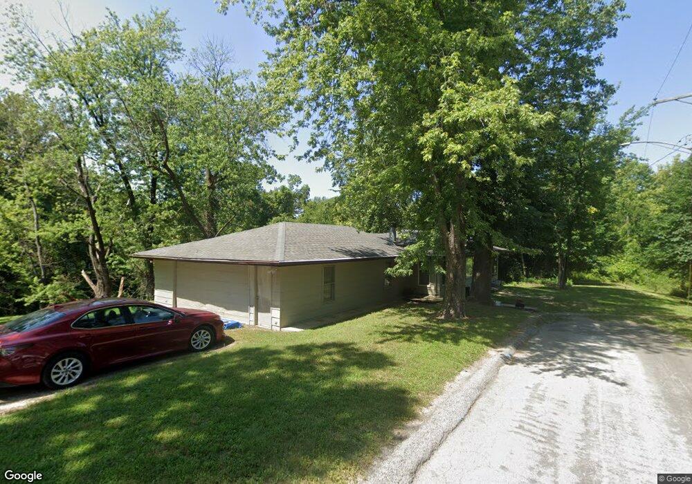
1019 Briggs St Edwardsville, IL 62025
Estimated Value: $146,000 - $168,000
3
Beds
1
Bath
1,246
Sq Ft
$124/Sq Ft
Est. Value
About This Home
This home is located at 1019 Briggs St, Edwardsville, IL 62025 and is currently estimated at $154,000, approximately $123 per square foot. 1019 Briggs St is a home located in Madison County with nearby schools including LeClaire Elementary School, Columbus Elementary School, and Lincoln Middle School.
Ownership History
Date
Name
Owned For
Owner Type
Purchase Details
Closed on
Sep 19, 2003
Sold by
The Bank Of Edwardsville
Bought by
Johnson George William
Current Estimated Value
Home Financials for this Owner
Home Financials are based on the most recent Mortgage that was taken out on this home.
Original Mortgage
$14,000
Interest Rate
6.5%
Mortgage Type
Seller Take Back
Create a Home Valuation Report for This Property
The Home Valuation Report is an in-depth analysis detailing your home's value as well as a comparison with similar homes in the area
Home Values in the Area
Average Home Value in this Area
Purchase History
| Date | Buyer | Sale Price | Title Company |
|---|---|---|---|
| Johnson George William | $17,000 | Chicago Title |
Source: Public Records
Mortgage History
| Date | Status | Borrower | Loan Amount |
|---|---|---|---|
| Previous Owner | Johnson George William | $14,000 |
Source: Public Records
Tax History Compared to Growth
Tax History
| Year | Tax Paid | Tax Assessment Tax Assessment Total Assessment is a certain percentage of the fair market value that is determined by local assessors to be the total taxable value of land and additions on the property. | Land | Improvement |
|---|---|---|---|---|
| 2024 | $1,037 | $14,520 | $2,170 | $12,350 |
| 2023 | $1,037 | $13,470 | $2,010 | $11,460 |
| 2022 | $976 | $12,450 | $1,860 | $10,590 |
| 2021 | $879 | $11,820 | $1,770 | $10,050 |
| 2020 | $853 | $11,460 | $1,720 | $9,740 |
| 2019 | $847 | $11,270 | $1,690 | $9,580 |
| 2018 | $380 | $10,760 | $1,610 | $9,150 |
| 2017 | $360 | $10,540 | $1,580 | $8,960 |
| 2016 | $317 | $10,540 | $1,580 | $8,960 |
| 2015 | $300 | $9,760 | $1,460 | $8,300 |
| 2014 | $300 | $9,760 | $1,460 | $8,300 |
| 2013 | $300 | $9,760 | $1,460 | $8,300 |
Source: Public Records
Map
Nearby Homes
- 324 Liberty St
- 652 N Kansas St Unit 652-B
- 652 N Kansas St Unit 652-A
- 317 M St
- 603 N Fillmore St
- 612 Cass Ave
- 215 Commercial St
- 3 Rock Hill Ct
- 668 Chapman St
- 911 Grand Ave
- 518 Randle St
- 801 Saint Louis St
- 135 Bunn Ave
- 0 Olive St Unit MAR24057151
- 215 S Benton St
- 839 Prickett Ave
- 232 S Main St
- 1427 Ladd Ave
- 4518 Drda Ln
- 1319 Randle St
- 1024 Highland St
- 1011 Briggs St
- 427 Wynona St
- 1014 Briggs St
- 0 Sloss Rd Unit 10899734
- 0 Sloss Rd Unit 19087080
- 0 Sloss Rd Unit 17095523
- 415 Wynona St
- 407 Wynona St
- xxxx Briggs St
- 0 Briggs St
- 411 Wynona St
- 707 Wood Alley
- 1005 Highland St
- 920 Klein Ave
- 923 Klein Ave
- 921 Klein Ave
- 916 Klein Ave
- 918 Highland St
- 919 Klein Ave