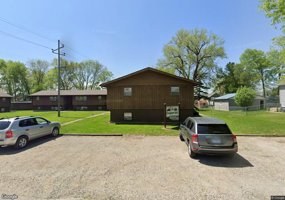
1019 Decatur St Lincoln, IL 62656
Estimated Value: $117,000 - $653,746
--
Bed
--
Bath
1,808
Sq Ft
$179/Sq Ft
Est. Value
About This Home
This home is located at 1019 Decatur St, Lincoln, IL 62656 and is currently estimated at $322,915, approximately $178 per square foot. 1019 Decatur St is a home located in Logan County with nearby schools including Washington-Monroe Elementary School, Lincoln Junior High School, and Lincoln Community High School.
Ownership History
Date
Name
Owned For
Owner Type
Purchase Details
Closed on
Jul 29, 2022
Sold by
Shull Donald E and Shull Sandra J
Bought by
Huston Chase A
Current Estimated Value
Home Financials for this Owner
Home Financials are based on the most recent Mortgage that was taken out on this home.
Original Mortgage
$360,000
Outstanding Balance
$340,429
Interest Rate
4.25%
Mortgage Type
New Conventional
Estimated Equity
-$17,514
Create a Home Valuation Report for This Property
The Home Valuation Report is an in-depth analysis detailing your home's value as well as a comparison with similar homes in the area
Home Values in the Area
Average Home Value in this Area
Purchase History
| Date | Buyer | Sale Price | Title Company |
|---|---|---|---|
| Huston Chase A | $450,000 | None Available |
Source: Public Records
Mortgage History
| Date | Status | Borrower | Loan Amount |
|---|---|---|---|
| Open | Huston Chase A | $360,000 |
Source: Public Records
Tax History Compared to Growth
Tax History
| Year | Tax Paid | Tax Assessment Tax Assessment Total Assessment is a certain percentage of the fair market value that is determined by local assessors to be the total taxable value of land and additions on the property. | Land | Improvement |
|---|---|---|---|---|
| 2024 | $15,531 | $169,410 | $27,220 | $142,190 |
| 2023 | $14,834 | $156,860 | $25,200 | $131,660 |
| 2022 | $14,466 | $146,600 | $23,550 | $123,050 |
| 2021 | $13,936 | $140,750 | $22,610 | $118,140 |
| 2020 | $13,757 | $138,670 | $22,280 | $116,390 |
| 2019 | $13,466 | $135,950 | $21,840 | $114,110 |
| 2018 | $13,363 | $133,280 | $21,410 | $111,870 |
| 2017 | $13,284 | $133,280 | $21,410 | $111,870 |
| 2016 | $12,941 | $133,150 | $21,390 | $111,760 |
| 2015 | $13,125 | $134,250 | $18,220 | $116,030 |
| 2014 | $13,125 | $134,250 | $18,220 | $116,030 |
| 2013 | $13,125 | $127,430 | $17,290 | $110,140 |
| 2012 | $13,125 | $129,720 | $17,600 | $112,120 |
Source: Public Records
Map
Nearby Homes
- 929 Decatur St
- 1311 Broadway St
- 1121 Broadway St
- 1025 Broadway St
- 617 Decatur St
- 502 Williamette Ave
- 928 Broadway St
- 521 Decatur St
- 418 Wyatt Ave
- 1227 Delavan St
- 1225 Delavan St
- 402 Wyatt Ave
- 419 Decatur St
- 802 Bryan Ave
- 1624 Delavan St
- 716 S Kickapoo St
- 113 N Kickapoo St
- 410 S Chicago St
- 311 S Logan St
- 915 Peoria St
- 1009 Decatur St
- 1007 Decatur St
- 1020 Decatur St
- 1005 Decatur St
- 1010 Decatur St
- 1000 Wyatt Ave
- 910 Wyatt Ave
- 910 Wyatt Ave Unit 912 Wyatt Avenue
- 908 Wyatt Ave
- 1008 Decatur St
- 1006 Wyatt Ave
- 906 Wyatt Ave
- 1003 Decatur St
- 1003 Decatur St Unit 404 S Ladue
- 1006 Decatur St
- 1002 Decatur St
- 1008 Wyatt Ave
- 904 Wyatt Ave
- 1127 Clinton St
- 902 Wyatt Ave