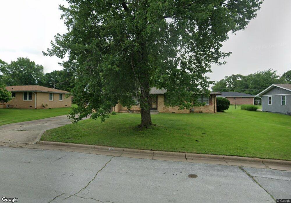
1019 Euclid Blvd Carthage, MO 64836
Estimated Value: $200,000 - $207,000
--
Bed
1
Bath
1,446
Sq Ft
$141/Sq Ft
Est. Value
About This Home
This home is located at 1019 Euclid Blvd, Carthage, MO 64836 and is currently estimated at $203,608, approximately $140 per square foot. 1019 Euclid Blvd is a home located in Jasper County with nearby schools including Carthage High School, St. Ann's Catholic School, and Victory Academy.
Ownership History
Date
Name
Owned For
Owner Type
Purchase Details
Closed on
Oct 4, 2019
Sold by
Nicholas J Goetzinger Irt
Bought by
Gilbert Gretchen K
Current Estimated Value
Home Financials for this Owner
Home Financials are based on the most recent Mortgage that was taken out on this home.
Original Mortgage
$121,212
Interest Rate
3.3%
Mortgage Type
New Conventional
Purchase Details
Closed on
Feb 20, 2013
Sold by
Goetzinger Nicholas J
Bought by
Goetzinger Gregory J and Nicholas J Goetzinger Irrevocable Trust
Create a Home Valuation Report for This Property
The Home Valuation Report is an in-depth analysis detailing your home's value as well as a comparison with similar homes in the area
Home Values in the Area
Average Home Value in this Area
Purchase History
| Date | Buyer | Sale Price | Title Company |
|---|---|---|---|
| Gilbert Gretchen K | -- | None Available | |
| Goetzinger Gregory J | -- | None Available |
Source: Public Records
Mortgage History
| Date | Status | Borrower | Loan Amount |
|---|---|---|---|
| Previous Owner | Gilbert Gretchen K | $121,212 |
Source: Public Records
Tax History Compared to Growth
Tax History
| Year | Tax Paid | Tax Assessment Tax Assessment Total Assessment is a certain percentage of the fair market value that is determined by local assessors to be the total taxable value of land and additions on the property. | Land | Improvement |
|---|---|---|---|---|
| 2025 | $1,166 | $24,090 | $3,730 | $20,360 |
| 2024 | $1,166 | $22,650 | $3,730 | $18,920 |
| 2023 | $1,166 | $22,650 | $3,730 | $18,920 |
| 2022 | $1,138 | $22,190 | $3,730 | $18,460 |
| 2021 | $1,126 | $22,190 | $3,730 | $18,460 |
| 2020 | $855 | $16,150 | $3,730 | $12,420 |
| 2019 | $857 | $16,150 | $3,730 | $12,420 |
| 2018 | $818 | $15,460 | $0 | $0 |
| 2017 | $820 | $15,460 | $0 | $0 |
| 2016 | $793 | $14,990 | $0 | $0 |
| 2015 | $733 | $14,990 | $0 | $0 |
| 2014 | $733 | $14,990 | $0 | $0 |
Source: Public Records
Map
Nearby Homes
- xxxx Lilac Ln
- 1012 Euclid Blvd
- 1131 Belle Air Place
- 1647 Glenwood Place
- 839 Euclid Blvd
- 824 Euclid Blvd
- 1743 S River St
- 1106 Southern Hills
- 1005 E 13th St
- 1242 Sheila Ann Dr
- 1230 Sheila Ann Dr
- 1244 Glenwood Place
- 1328 Sunrise Dr
- 702 E Centennial Ave
- 1814 Buena Vista Ave
- 1922 Southwood Ln
- 1910 Wynwood Dr
- 1448 Quail Place
- 1211 James St
- 2032 Alison St
- 1011 Euclid Blvd
- 1027 Euclid Blvd
- 1617 Lilac Ln
- 1622 Mimosa Rd
- 1003 Euclid Blvd
- 1020 Euclid Blvd
- 1026 Euclid Blvd
- 1614 Mimosa Rd
- 1004 Euclid Blvd
- 1105 Euclid Blvd
- 1609 Lilac Ln
- 1100 Euclid Blvd
- 1608 Mimosa Rd
- 1618 Lilac Ln
- 923 Euclid Blvd
- 1603 Lilac Ln
- 1111 Euclid Blvd
- 1029 Belle Air Place
- 1614 Lilac Ln
- 1029 Belle Aire Place