1019 Lance Rd NE Calhoun, GA 30701
Estimated Value: $233,000 - $300,000
2
Beds
1
Bath
1,243
Sq Ft
$207/Sq Ft
Est. Value
About This Home
This home is located at 1019 Lance Rd NE, Calhoun, GA 30701 and is currently estimated at $257,536, approximately $207 per square foot. 1019 Lance Rd NE is a home located in Gordon County with nearby schools including Red Bud Elementary School, Red Bud Middle School, and Sonoraville High School.
Ownership History
Date
Name
Owned For
Owner Type
Purchase Details
Closed on
Oct 7, 2022
Sold by
Dills Wanda Ballew
Bought by
Ross Jeffrey Dean and Ross Deidra
Current Estimated Value
Home Financials for this Owner
Home Financials are based on the most recent Mortgage that was taken out on this home.
Original Mortgage
$191,250
Outstanding Balance
$183,845
Interest Rate
5.89%
Mortgage Type
New Conventional
Estimated Equity
$73,691
Purchase Details
Closed on
Aug 26, 2020
Sold by
Davis Rachael
Bought by
Ross Jeffrey D
Create a Home Valuation Report for This Property
The Home Valuation Report is an in-depth analysis detailing your home's value as well as a comparison with similar homes in the area
Home Values in the Area
Average Home Value in this Area
Purchase History
| Date | Buyer | Sale Price | Title Company |
|---|---|---|---|
| Ross Jeffrey Dean | $225,000 | -- | |
| Dills Wanda Ballew | -- | -- | |
| Ross Jeffrey D | $7,143 | -- | |
| Dills Billy | $6,521 | -- |
Source: Public Records
Mortgage History
| Date | Status | Borrower | Loan Amount |
|---|---|---|---|
| Open | Dills Wanda Ballew | $191,250 |
Source: Public Records
Tax History Compared to Growth
Tax History
| Year | Tax Paid | Tax Assessment Tax Assessment Total Assessment is a certain percentage of the fair market value that is determined by local assessors to be the total taxable value of land and additions on the property. | Land | Improvement |
|---|---|---|---|---|
| 2024 | $1,871 | $73,636 | $17,320 | $56,316 |
| 2023 | $1,788 | $70,396 | $17,320 | $53,076 |
| 2022 | $522 | $58,836 | $17,320 | $41,516 |
| 2021 | $443 | $50,556 | $17,320 | $33,236 |
| 2020 | $463 | $52,236 | $18,560 | $33,676 |
| 2019 | $466 | $52,348 | $18,560 | $33,788 |
| 2018 | $440 | $49,672 | $18,560 | $31,112 |
| 2017 | $431 | $47,832 | $18,560 | $29,272 |
| 2016 | $432 | $47,832 | $18,560 | $29,272 |
| 2015 | $429 | $47,232 | $18,560 | $28,672 |
| 2014 | $409 | $46,007 | $18,594 | $27,413 |
Source: Public Records
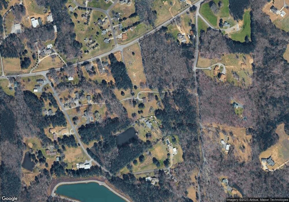
Map
Nearby Homes
- 121 Harrison Ln NE
- 379 Owens Cir NE
- 127 Telluride Trail NE
- 119 Windy Hill Rd SE
- 137 Wendy Hill Rd SE
- 158 Brooksmill Dr NE
- 225 Lovebridge Dr SE
- 624 Newtown Creek Loop NE
- 279 Baker Rd SE
- 130 Burnt Hickory Ln SE
- 121 Sunset Dr NE
- 0 Hunts Gin Rd L2
- 320 Wrights Hollow Rd SE
- 00 Hunts Gin Rd L2
- 127 Alex Ct
- 187 Willow Haven St SE
- 1535 Hunts Gin Rd
- LOT 4 Hunts Gin Rd
- 170 Willow Haven St SE
- 254 Gravely Rd SE
- 987 Lance Rd NE
- 937 Lance Rd NE
- 2913 Red Bud Rd NE
- 1021 Lance Rd NE
- 1045 Lance Rd NE
- 101 Moss Creek Dr NE
- 3003 Red Bud Rd NE
- 100 Moss Creek Dr NE
- 2871 Red Bud Rd NE
- 891 Lance Rd NE
- 877 Lance Rd NE
- 113 Moss Creek Dr NE
- 112 Moss Creek Dr NE
- 259 Craneater Rd NE
- 233 Crane Eater Rd NE
- 974 Lance Rd NE
- 191 Craneater Rd NE
- 121 Moss Creek Dr NE
- 1084 Lance Rd NE
- 122 Moss Creek Dr NE