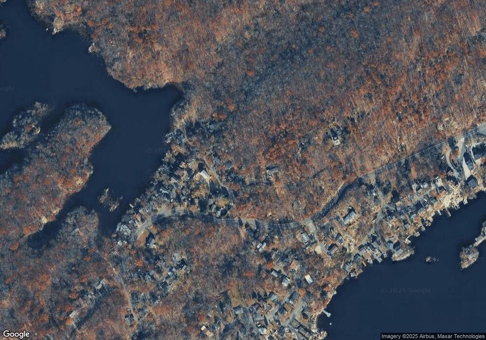
1019 Mohawk Trail Andover, NJ 07821
Estimated Value: $396,000 - $398,000
Studio
--
Bath
--
Sq Ft
6,229
Sq Ft Lot
About This Home
This home is located at 1019 Mohawk Trail, Andover, NJ 07821 and is currently estimated at $397,000. 1019 Mohawk Trail is a home with nearby schools including Hudson Maxim Elementary School, Durban Avenue Elementary School, and Tulsa Trail Elementary School.
Ownership History
Date
Name
Owned For
Owner Type
Purchase Details
Closed on
Oct 22, 2019
Sold by
Rowbotham Kenneth J
Bought by
Castillo Justin and Eckert Joyce Lee
Current Estimated Value
Home Financials for this Owner
Home Financials are based on the most recent Mortgage that was taken out on this home.
Original Mortgage
$219,942
Interest Rate
3.6%
Mortgage Type
New Conventional
Purchase Details
Closed on
May 9, 1997
Sold by
Oneill Alan and Oneill Roberta
Bought by
Rowbotham Kenneth J
Create a Home Valuation Report for This Property
The Home Valuation Report is an in-depth analysis detailing your home's value as well as a comparison with similar homes in the area
Home Values in the Area
Average Home Value in this Area
Purchase History
| Date | Buyer | Sale Price | Title Company |
|---|---|---|---|
| Castillo Justin | $224,000 | Key Settlements | |
| Rowbotham Kenneth J | $15,000 | -- |
Source: Public Records
Mortgage History
| Date | Status | Borrower | Loan Amount |
|---|---|---|---|
| Previous Owner | Castillo Justin | $219,942 |
Source: Public Records
Tax History Compared to Growth
Tax History
| Year | Tax Paid | Tax Assessment Tax Assessment Total Assessment is a certain percentage of the fair market value that is determined by local assessors to be the total taxable value of land and additions on the property. | Land | Improvement |
|---|---|---|---|---|
| 2025 | $582 | $27,900 | $26,300 | $1,600 |
| 2024 | $577 | $27,900 | $26,300 | $1,600 |
Source: Public Records
Map
Nearby Homes
- 4 Bear Pond Trail
- 304 Squaw Trail
- 656 Lakeside Ave
- 636 Lakeside Ave
- 213 Squaw Trail
- 12 Hobart Trail
- 342 Dupont Ave
- 00 Forest Rd
- 35 Mountain Trail
- 148 Bucknell Trail
- 8 Oneida Ave
- 207 Hudson Ave
- 207 Dupont Ave
- 9 Corsica Rd
- 496 River Styx Rd
- 11 Bass Rock Rd
- 286 Carentan Rd
- 34 Northwestern Trail
- 167 Marne Rd
- 16 Prospect Point Rd
- 17 Bear Pond Trail
- 19 Bear Pond Trail
- 21 Bear Pond Trail
- 1015 Mohawk Trail
- 23 Bear Pond Trail
- 733 Lakeside Ave
- 1025 Mohawk Trail
- 103 Huron Trail
- 735 Lakeside Ave
- 105 Huron Trail
- 101 Huron Trail
- 737 Lakeside Ave
- 107 Huron Trail
- 716 Lakeside Ave
- 714 Lakeside Ave
- 110 Huron Trail
- 739 Lakeside Ave
- 102 Huron Trail
- 712 Lakeside Ave
- 106 Huron Trail
