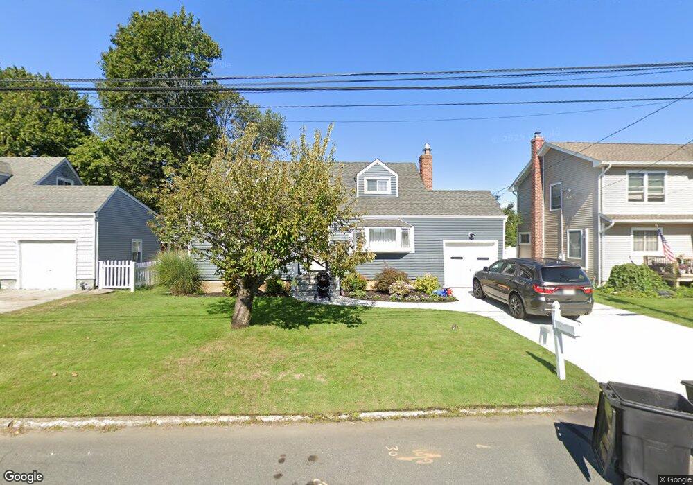
1019 N Greene Ave Lindenhurst, NY 11757
Estimated Value: $535,231 - $694,000
--
Bed
--
Bath
840
Sq Ft
$761/Sq Ft
Est. Value
About This Home
This home is located at 1019 N Greene Ave, Lindenhurst, NY 11757 and is currently estimated at $639,058, approximately $760 per square foot. 1019 N Greene Ave is a home located in Suffolk County with nearby schools including William Rall School, Lindenhurst Middle School, and Lindenhurst Senior High School.
Ownership History
Date
Name
Owned For
Owner Type
Purchase Details
Closed on
Dec 23, 2020
Sold by
Garraffo Steven J and Juehrs Stacy L
Bought by
Juehrs Bryan and Juehrs Stacy
Current Estimated Value
Home Financials for this Owner
Home Financials are based on the most recent Mortgage that was taken out on this home.
Original Mortgage
$244,500
Outstanding Balance
$217,561
Interest Rate
2.67%
Mortgage Type
Purchase Money Mortgage
Estimated Equity
$421,497
Purchase Details
Closed on
May 21, 2018
Sold by
Garraffo Marie
Bought by
Garraffo Steven J and Juehrs Stacy L
Create a Home Valuation Report for This Property
The Home Valuation Report is an in-depth analysis detailing your home's value as well as a comparison with similar homes in the area
Home Values in the Area
Average Home Value in this Area
Purchase History
| Date | Buyer | Sale Price | Title Company |
|---|---|---|---|
| Juehrs Bryan | $220,000 | None Available | |
| Garraffo Steven J | -- | -- |
Source: Public Records
Mortgage History
| Date | Status | Borrower | Loan Amount |
|---|---|---|---|
| Open | Juehrs Bryan | $244,500 |
Source: Public Records
Tax History Compared to Growth
Tax History
| Year | Tax Paid | Tax Assessment Tax Assessment Total Assessment is a certain percentage of the fair market value that is determined by local assessors to be the total taxable value of land and additions on the property. | Land | Improvement |
|---|---|---|---|---|
| 2024 | $10,270 | $2,660 | $280 | $2,380 |
| 2023 | $10,270 | $2,660 | $280 | $2,380 |
| 2022 | $8,546 | $2,660 | $280 | $2,380 |
| 2021 | $8,546 | $2,660 | $280 | $2,380 |
| 2020 | $7,704 | $2,660 | $280 | $2,380 |
| 2019 | $7,704 | $2,660 | $280 | $2,380 |
| 2018 | $7,101 | $2,660 | $280 | $2,380 |
| 2017 | $7,101 | $2,660 | $280 | $2,380 |
| 2016 | $7,118 | $2,660 | $280 | $2,380 |
| 2015 | -- | $2,660 | $280 | $2,380 |
| 2014 | -- | $2,660 | $280 | $2,380 |
Source: Public Records
Map
Nearby Homes
- 957 N Fulton Ave
- 156 Farmers Ave
- 940 N Erie Ave
- 430 Heathcote Rd
- 165 Tremont Rd
- 48 Farmers Ave
- 456 Heathcote Rd
- 847 N Clinton Ave
- 1029 N Niagara Ave
- 0 Tenety Ave Unit 3461459
- 697 N Fulton Ave
- 16 Burton Place
- 45 Feustal St
- 681 N Clinton Ave
- 10 Winchester Dr
- 194 Newark St
- 61 Kellum St Unit A and B
- 61 Kellum St Unit 61A
- 336 51st St
- 350 52nd St
- 1015 N Greene Ave
- 1025 N Greene Ave
- 1018 N Hamilton Ave
- 1014 N Hamilton Ave
- 1024 N Hamilton Ave
- 1009 N Greene Ave
- 1029 N Greene Ave
- 1020 N Greene Ave
- 1008 N Hamilton Ave
- 1014 N Greene Ave
- 1028 N Hamilton Ave
- 1024 N Greene Ave
- 1033 N Greene Ave
- 1008 N Greene Ave
- 1003 N Greene Ave
- 1030 N Greene Ave
- 1032 N Hamilton Ave
- 1002 N Hamilton Ave
- 1002 N Greene Ave
- 1039 N Greene Ave