1019 N Main St Killingly, CT 06241
Estimated Value: $1,604,581
Studio
--
Bath
--
Sq Ft
553,212
Sq Ft Lot
About This Home
This home is located at 1019 N Main St, Killingly, CT 06241 and is currently estimated at $1,604,581. 1019 N Main St is a home located in Windham County with nearby schools including Killingly Central School, Killingly Memorial School, and Killingly Intermediate School.
Ownership History
Date
Name
Owned For
Owner Type
Purchase Details
Closed on
Nov 3, 2009
Sold by
Cote Carol
Bought by
Dayville Storage Llc
Current Estimated Value
Home Financials for this Owner
Home Financials are based on the most recent Mortgage that was taken out on this home.
Original Mortgage
$720,000
Interest Rate
5.06%
Mortgage Type
Commercial
Purchase Details
Closed on
Dec 14, 2004
Sold by
Cote Carol A
Bought by
United Social&Mental I
Create a Home Valuation Report for This Property
The Home Valuation Report is an in-depth analysis detailing your home's value as well as a comparison with similar homes in the area
Home Values in the Area
Average Home Value in this Area
Purchase History
| Date | Buyer | Sale Price | Title Company |
|---|---|---|---|
| Dayville Storage Llc | $899,900 | -- | |
| Dayville Storage Llc | $899,900 | -- | |
| United Social&Mental I | $40,000 | -- | |
| United Social & Mental I | $40,000 | -- |
Source: Public Records
Mortgage History
| Date | Status | Borrower | Loan Amount |
|---|---|---|---|
| Open | United Social & Mental I | $780,000 | |
| Closed | United Social & Mental I | $720,000 |
Source: Public Records
Tax History
| Year | Tax Paid | Tax Assessment Tax Assessment Total Assessment is a certain percentage of the fair market value that is determined by local assessors to be the total taxable value of land and additions on the property. | Land | Improvement |
|---|---|---|---|---|
| 2025 | $32,238 | $1,374,770 | $413,980 | $960,790 |
| 2024 | $30,341 | $1,374,770 | $413,980 | $960,790 |
| 2023 | $28,945 | $1,010,310 | $343,070 | $667,240 |
| 2022 | $27,187 | $1,010,310 | $343,070 | $667,240 |
| 2021 | $27,187 | $1,010,310 | $343,070 | $667,240 |
| 2020 | $26,612 | $1,010,310 | $343,070 | $667,240 |
| 2019 | $27,137 | $1,010,310 | $343,070 | $667,240 |
| 2017 | $23,559 | $806,540 | $343,070 | $463,470 |
| 2016 | $23,478 | $806,540 | $343,070 | $463,470 |
| 2015 | $23,640 | $806,540 | $343,070 | $463,470 |
| 2014 | $22,994 | $806,540 | $343,070 | $463,470 |
Source: Public Records
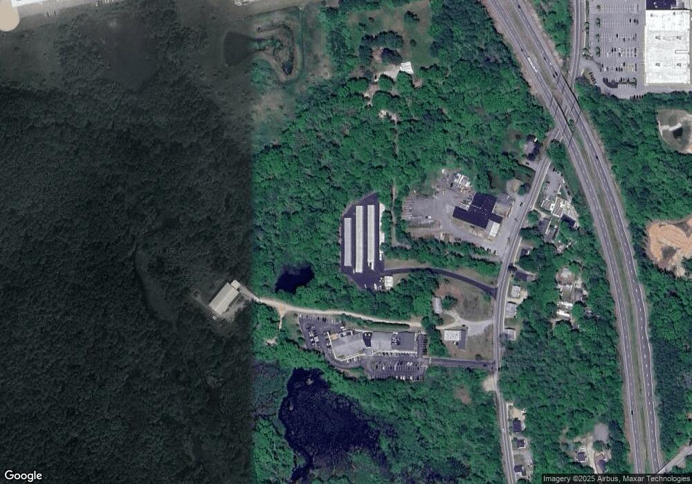
Map
Nearby Homes
- 14 Valley View Dr
- 16 Valley View Dr
- 56 Deerwood Dr
- 61 Deerwood Dr
- 23 Brookside Dr
- 53 Brookside Dr
- 842 Hartford Pike
- 438 Hartford Pike
- 724 Cook Hill Rd
- 941 Upper Maple St
- 350 Hartford Pike
- 85 Soap St
- 1567 Upper Maple St
- 4 Bluebird Ln
- 117 State Ave
- 48 Athol St Unit 48
- 333 Breakneck Hill Rd
- 74 Athol St
- 104 Jessica Ln Unit 104
- 279 Putnam Pike
- 1013 N Main St
- 1028 N Main St
- 1016 N Main St
- 1016 N Main St
- 1022 N Main St
- 1024 N Main St
- 1030 N Main St
- 17 Conrad's Park
- 2 Conrad Park
- 1032 N Main St Unit 5
- 1032 N Main St Unit 8
- 1032 N Main St Unit 9
- 1032 N Main St Unit 4
- 1032 N Main St Unit 7
- 1032 N Main St
- 15 Conrad's Park
- 6 Conrad Park
- 5 Conrad's Park
- 7 Conrad's Park
- 1033 N Main St
Your Personal Tour Guide
Ask me questions while you tour the home.