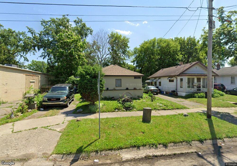
1019 Ossington Ave Flint, MI 48507
South Side NeighborhoodEstimated Value: $30,000 - $42,000
2
Beds
1
Bath
600
Sq Ft
$62/Sq Ft
Est. Value
About This Home
This home is located at 1019 Ossington Ave, Flint, MI 48507 and is currently estimated at $37,251, approximately $62 per square foot. 1019 Ossington Ave is a home located in Genesee County with nearby schools including Eisenhower School, Flint Southwestern Classical Academy, and International Academy of Flint (K-12).
Ownership History
Date
Name
Owned For
Owner Type
Purchase Details
Closed on
Oct 27, 2011
Sold by
Lasley Matt
Bought by
Truscott Steven Thornton
Current Estimated Value
Purchase Details
Closed on
Apr 15, 2011
Sold by
Dunnivant Mallory
Bought by
Lasley Matt
Purchase Details
Closed on
Nov 24, 2010
Sold by
Cherry Deborah L
Bought by
Dunnivant Mallory
Purchase Details
Closed on
Aug 20, 2002
Sold by
Morrison Jeffrey and Morrison Sharron
Bought by
Bagby Taronda
Purchase Details
Closed on
Sep 9, 1999
Sold by
Green Ridge Cemetery Assn
Bought by
Morrison Jeffrey and Morrison Sharon
Create a Home Valuation Report for This Property
The Home Valuation Report is an in-depth analysis detailing your home's value as well as a comparison with similar homes in the area
Home Values in the Area
Average Home Value in this Area
Purchase History
| Date | Buyer | Sale Price | Title Company |
|---|---|---|---|
| Truscott Steven Thornton | -- | None Available | |
| Lasley Matt | -- | None Available | |
| Dunnivant Mallory | $450 | None Available | |
| Bagby Taronda | $14,385 | First American Title Ins Co | |
| Morrison Jeffrey | $6,000 | Cislo Title Company |
Source: Public Records
Tax History Compared to Growth
Tax History
| Year | Tax Paid | Tax Assessment Tax Assessment Total Assessment is a certain percentage of the fair market value that is determined by local assessors to be the total taxable value of land and additions on the property. | Land | Improvement |
|---|---|---|---|---|
| 2025 | $629 | $13,200 | $0 | $0 |
| 2024 | $582 | $13,200 | $0 | $0 |
| 2023 | $579 | $12,000 | $0 | $0 |
| 2022 | $0 | $9,500 | $0 | $0 |
| 2021 | $593 | $8,600 | $0 | $0 |
| 2020 | $548 | $7,100 | $0 | $0 |
| 2019 | $542 | $7,700 | $0 | $0 |
| 2018 | $514 | $6,000 | $0 | $0 |
| 2017 | $503 | $0 | $0 | $0 |
| 2016 | $500 | $0 | $0 | $0 |
| 2015 | -- | $0 | $0 | $0 |
| 2014 | -- | $0 | $0 | $0 |
| 2012 | -- | $7,400 | $0 | $0 |
Source: Public Records
Map
Nearby Homes
- 930 Bloor Ave
- 943 Paddington Ave
- 909 Barrie Ave
- 842 Ossington Ave
- 843 Ossington Ave
- 839 Barrie Ave
- 839 SiMcOe Ave
- 812 Remington Ave
- 2021 Brooks St
- 741 Barrie Ave
- 734 Barrie Ave
- 1708 Fenton Rd
- 936 Lincoln Ave
- 820 Vermilya Ave
- 1225 Vermilya Ave
- 825 Vermilya Ave
- 1101 Lincoln Ave
- 730 Freeman Ave
- 745 Freeman Ave
- 805 Vermilya Ave
- 1023 Ossington Ave
- 1027 Ossington Ave
- 1022 Bloor Ave
- 1014 Bloor Ave
- 1031 Ossington Ave
- 2710 Fenton Rd
- 1020 Ossington Ave
- 1024 Ossington Ave
- 1035 Ossington Ave
- 1030 Bloor Ave
- 1016 Ossington Ave
- 1028 Ossington Ave
- 1032 Ossington Ave
- 1025 Remington Ave
- 1039 Ossington Ave
- 2626 Fenton Rd
- 1102 Bloor Ave
- 1036 Ossington Ave
- 2622 Fenton Rd
- 1101 Ossington Ave