1019 Port Stanley Rd Lopez Island, WA 98261
Estimated Value: $1,161,000 - $1,429,363
2
Beds
1
Bath
520
Sq Ft
$2,419/Sq Ft
Est. Value
About This Home
This home is located at 1019 Port Stanley Rd, Lopez Island, WA 98261 and is currently estimated at $1,257,841, approximately $2,418 per square foot. 1019 Port Stanley Rd is a home located in San Juan County with nearby schools including Lopez Elementary School and Lopez Middle High School.
Ownership History
Date
Name
Owned For
Owner Type
Purchase Details
Closed on
Jul 10, 2008
Sold by
Arrigoni William R and Revocable Trust Of William R A
Bought by
Behlke Michael and Burgler Traci
Current Estimated Value
Home Financials for this Owner
Home Financials are based on the most recent Mortgage that was taken out on this home.
Original Mortgage
$417,000
Outstanding Balance
$269,019
Interest Rate
6.07%
Mortgage Type
Purchase Money Mortgage
Estimated Equity
$988,822
Create a Home Valuation Report for This Property
The Home Valuation Report is an in-depth analysis detailing your home's value as well as a comparison with similar homes in the area
Home Values in the Area
Average Home Value in this Area
Purchase History
| Date | Buyer | Sale Price | Title Company |
|---|---|---|---|
| Behlke Michael | $530,000 | San Juan Title Llc | |
| Lotto Anna Marie | -- | San Juan Title Llc |
Source: Public Records
Mortgage History
| Date | Status | Borrower | Loan Amount |
|---|---|---|---|
| Open | Behlke Michael | $417,000 |
Source: Public Records
Tax History Compared to Growth
Tax History
| Year | Tax Paid | Tax Assessment Tax Assessment Total Assessment is a certain percentage of the fair market value that is determined by local assessors to be the total taxable value of land and additions on the property. | Land | Improvement |
|---|---|---|---|---|
| 2024 | $7,980 | $1,343,360 | $398,970 | $944,390 |
| 2023 | $7,980 | $1,350,120 | $398,970 | $951,150 |
| 2022 | $7,494 | $1,202,100 | $399,060 | $803,040 |
| 2021 | $6,382 | $956,720 | $332,550 | $624,170 |
| 2020 | $6,026 | $821,840 | $332,550 | $489,290 |
| 2019 | $5,378 | $781,900 | $332,550 | $449,350 |
| 2018 | $4,863 | $1,060,790 | $696,670 | $364,120 |
| 2017 | $2,420 | $585,930 | $290,000 | $295,930 |
| 2016 | $1,733 | $341,180 | $341,180 | $0 |
| 2015 | $1,733 | $373,880 | $341,180 | $32,700 |
| 2014 | $1,733 | $332,160 | $310,220 | $21,940 |
| 2012 | $1,733 | $297,100 | $267,300 | $29,800 |
Source: Public Records
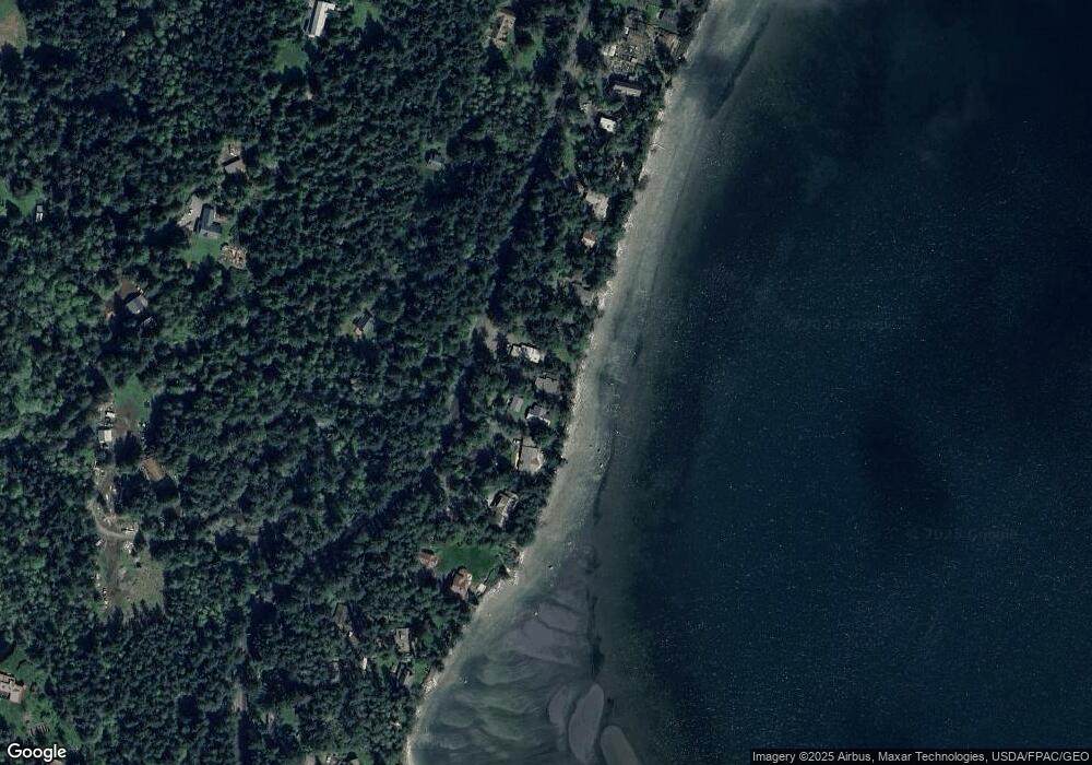
Map
Nearby Homes
- 137 Forest Ln
- 239 Shoreland Dr
- 755 Ferry Rd
- 783 Ferry Rd
- 162 Sea Ranch Rd
- 331 Nelson Ln
- 1372 Bakerview Rd
- 230 Gem Farm Ln
- 104 Estenson Rd
- 95 Weeks Rd
- 315 Mariner Dr
- 264 Shaw Park Rd
- 1486 Center Rd
- 0 EC-19 E Cove Rd
- 281 Maritime Rd
- 707 NW Thatcher Pass Rd
- 86 Shag Rock Ln
- 335 Blakely Dr
- 68 Sylvan Cove Rd W
- 296 Shag Rock Ln
- 1007 Port Stanley Rd
- 1035 Port Stanley Rd
- 997 Port Stanley Rd
- 1045 Port Stanley Rd
- 963 Port Stanley Rd
- 1073 Port Stanley Rd
- 943 Port Stanley Rd
- 964 Port Stanley Rd
- 927 Port Stanley Rd
- 1107 Port Stanley Rd
- 907 Port Stanley Rd
- 912 Port Stanley Rd
- 1185 Port Stanley Rd
- 1213 Port Stanley Rd
- 867 Port Stanley Rd
- 138 Forest Ln
- 843 Port Stanley Rd
- 856 Port Stanley Rd
- 837 Port Stanley Rd
- 1142 Port Stanley Rd