1019 Price Rd Snohomish, WA 98290
Estimated Value: $1,097,000 - $1,136,000
3
Beds
3
Baths
2,732
Sq Ft
$409/Sq Ft
Est. Value
About This Home
This home is located at 1019 Price Rd, Snohomish, WA 98290 and is currently estimated at $1,117,821, approximately $409 per square foot. 1019 Price Rd is a home located in Snohomish County with nearby schools including Machias Elementary School, Centennial Middle School, and Snohomish High School.
Ownership History
Date
Name
Owned For
Owner Type
Purchase Details
Closed on
Jun 23, 2015
Sold by
Wear David B and Wear Pamela S
Bought by
Wear David B
Current Estimated Value
Home Financials for this Owner
Home Financials are based on the most recent Mortgage that was taken out on this home.
Original Mortgage
$352,256
Outstanding Balance
$273,415
Interest Rate
3.81%
Mortgage Type
VA
Estimated Equity
$844,406
Purchase Details
Closed on
Nov 2, 2005
Sold by
Smith Bonnie and Stuckle Bonnie
Bought by
Wear David and Wear Pamela
Purchase Details
Closed on
Apr 8, 1997
Sold by
Aloha Lumber Corp
Bought by
Wear David B and Wear Pamela S
Home Financials for this Owner
Home Financials are based on the most recent Mortgage that was taken out on this home.
Original Mortgage
$30,000
Interest Rate
7.66%
Mortgage Type
Seller Take Back
Create a Home Valuation Report for This Property
The Home Valuation Report is an in-depth analysis detailing your home's value as well as a comparison with similar homes in the area
Home Values in the Area
Average Home Value in this Area
Purchase History
| Date | Buyer | Sale Price | Title Company |
|---|---|---|---|
| Wear David B | -- | Advantage Title Company | |
| Wear David | $70,000 | Pnwt | |
| Wear David B | $48,000 | Chicago Title Ins Co |
Source: Public Records
Mortgage History
| Date | Status | Borrower | Loan Amount |
|---|---|---|---|
| Open | Wear David B | $352,256 | |
| Previous Owner | Wear David B | $30,000 |
Source: Public Records
Tax History Compared to Growth
Tax History
| Year | Tax Paid | Tax Assessment Tax Assessment Total Assessment is a certain percentage of the fair market value that is determined by local assessors to be the total taxable value of land and additions on the property. | Land | Improvement |
|---|---|---|---|---|
| 2025 | $8,428 | $928,600 | $358,000 | $570,600 |
| 2024 | $8,428 | $834,300 | $315,600 | $518,700 |
| 2023 | $8,202 | $904,300 | $367,600 | $536,700 |
| 2022 | $7,691 | $680,000 | $246,400 | $433,600 |
| 2020 | $6,944 | $572,300 | $189,400 | $382,900 |
| 2019 | $6,810 | $554,500 | $189,400 | $365,100 |
| 2018 | $6,917 | $482,800 | $141,100 | $341,700 |
| 2017 | $6,134 | $439,400 | $117,400 | $322,000 |
| 2016 | $5,754 | $394,900 | $88,400 | $306,500 |
| 2015 | $5,289 | $346,600 | $68,800 | $277,800 |
| 2013 | $4,797 | $301,500 | $74,700 | $226,800 |
Source: Public Records
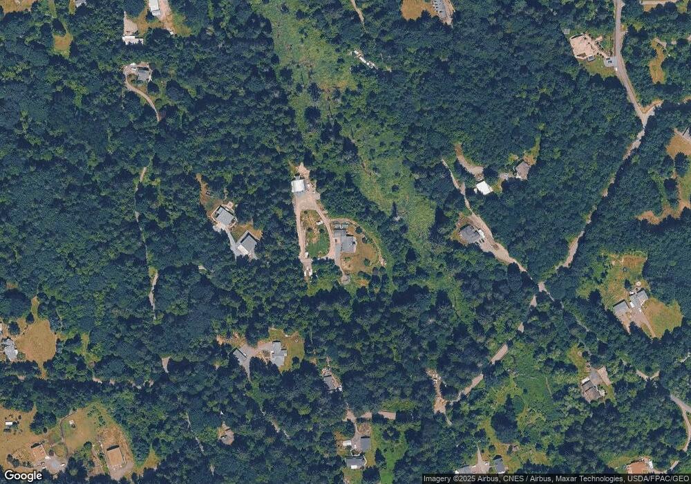
Map
Nearby Homes
- 530 175th Ave NE
- 321 Price Rd
- 413 Newberg Rd
- 0 161st St Unit NWM2403733
- 2805 Newberg Rd
- 17629 Newberg Rd
- 921 Russell Rd
- 0 Ok Mill Rd
- 3114 159th Ave NE
- 601 Beach Dr
- 3412 147th Ave NE
- 18808 48th St NE
- 825 204th Dr SE
- 4105 147th Ave NE
- 19305 24th Place SE
- 14823 43rd Place NE
- 2424 159th Place NE
- 19233 25th Place SE
- 4725 Lerch Rd
- 4906 Lerch Rd
- 1018 175th Ave NE
- 1015 Price Rd
- 17129 9th Place NE
- 1101 175th Ave NE
- 9036 State Route (Sr) 9 NE
- 17324 9th Place NE
- 17220 9th Place NE
- 1233 175th Ave NE
- 1209 Price Rd
- 17418 9th Place NE
- 24 177th Ave NE
- 910 175th Ave NE
- 903 175th Ave NE
- 1212 177th Ave NE
- 17102 14th St NE
- 812 Price Rd
- 711 Price Rd
- 13720 12th St NE
- 17414 9th Place NE
- 1320 177th Ave NE