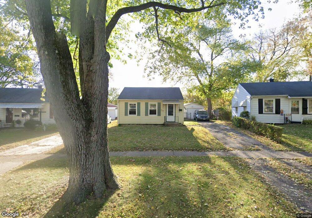
1019 S Tonti Cir Peoria, IL 61605
Estimated Value: $36,000 - $61,000
2
Beds
1
Bath
600
Sq Ft
$79/Sq Ft
Est. Value
About This Home
This home is located at 1019 S Tonti Cir, Peoria, IL 61605 and is currently estimated at $47,667, approximately $79 per square foot. 1019 S Tonti Cir is a home located in Peoria County with nearby schools including Trewyn Middle School, Manual High School, and SOUTH SIDE CHRISTIAN ACADEMY.
Ownership History
Date
Name
Owned For
Owner Type
Purchase Details
Closed on
Jan 3, 2025
Sold by
Johnson Victor L and Johnson Kathy E
Bought by
Maughan Kevin D and Maughan Angela K
Current Estimated Value
Home Financials for this Owner
Home Financials are based on the most recent Mortgage that was taken out on this home.
Original Mortgage
$253,600
Outstanding Balance
$246,979
Interest Rate
6.84%
Mortgage Type
New Conventional
Estimated Equity
-$199,312
Purchase Details
Closed on
Feb 17, 2011
Bought by
Johnson Victor L and Johnson Kathy
Create a Home Valuation Report for This Property
The Home Valuation Report is an in-depth analysis detailing your home's value as well as a comparison with similar homes in the area
Home Values in the Area
Average Home Value in this Area
Purchase History
| Date | Buyer | Sale Price | Title Company |
|---|---|---|---|
| Maughan Kevin D | $317,000 | None Listed On Document | |
| Johnson Victor L | $9,000 | -- |
Source: Public Records
Mortgage History
| Date | Status | Borrower | Loan Amount |
|---|---|---|---|
| Open | Maughan Kevin D | $253,600 |
Source: Public Records
Tax History Compared to Growth
Tax History
| Year | Tax Paid | Tax Assessment Tax Assessment Total Assessment is a certain percentage of the fair market value that is determined by local assessors to be the total taxable value of land and additions on the property. | Land | Improvement |
|---|---|---|---|---|
| 2024 | $642 | $7,100 | $1,130 | $5,970 |
| 2023 | $613 | $6,520 | $1,040 | $5,480 |
| 2022 | $585 | $6,060 | $930 | $5,130 |
| 2021 | $575 | $5,780 | $890 | $4,890 |
| 2020 | $573 | $5,720 | $880 | $4,840 |
| 2019 | $582 | $5,840 | $900 | $4,940 |
| 2018 | $623 | $6,400 | $910 | $5,490 |
| 2017 | $624 | $6,470 | $920 | $5,550 |
| 2016 | $606 | $6,470 | $920 | $5,550 |
| 2015 | $681 | $6,340 | $900 | $5,440 |
| 2014 | $681 | $7,400 | $910 | $6,490 |
| 2013 | -- | $7,490 | $920 | $6,570 |
Source: Public Records
Map
Nearby Homes
- 1044 S Tonti Cir
- 3203 W Proctor Place
- 3410 W Lincoln Ave
- 2819 W Marquette St
- 2813 W Marquette St
- 3820 W Coal St
- 2722 W Marquette St
- 531 S Barnewolt Dr
- 1533 S Idaho St
- 2723 W Hayes St
- 2701 W Hayes St
- 2505 W Humboldt St
- 2413 W Proctor St
- 1831 S Kneer Ave
- 2506 W Humboldt St
- 2417 W Ann St
- 2414 W Lincoln Ave
- 2329 W Marquette St
- 2328 W Antoinette St
- 2424 W Millman St
- 1017 S Tonti Cir
- 1015 S Tonti Cir
- 1027 S Tonti Cir
- 1011 S Tonti Cir
- 1018 S Tonti Cir
- 1010 S Tonti Cir
- 1022 S Tonti Cir
- 1008 S Tonti Cir
- 1009 S Tonti Cir
- 1031 S Tonti Cir
- 1028 S Tonti Cir
- 1005 S Tonti Cir
- 1025 S Tonti Ct
- 1004 S Tonti Cir
- 3212 W Antoinette Place
- 3214 W Antoinette Place
- 1034 S Tonti Cir
- 965 S Tonti Cir
- 3210 W Antoinette Place
- 1000 S Tonti Cir