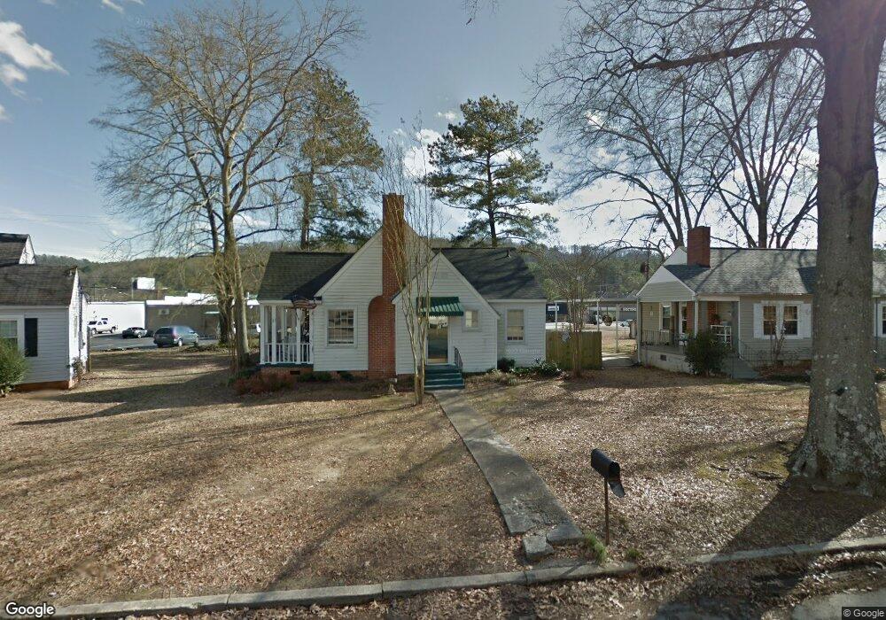
1019 Sangster Rd Gadsden, AL 35901
Estimated Value: $134,758 - $196,000
--
Bed
1
Bath
1,110
Sq Ft
$154/Sq Ft
Est. Value
About This Home
This home is located at 1019 Sangster Rd, Gadsden, AL 35901 and is currently estimated at $171,190, approximately $154 per square foot. 1019 Sangster Rd is a home located in Etowah County with nearby schools including Eura Brown Elementary School, Gadsden Middle School, and Gadsden City High School.
Ownership History
Date
Name
Owned For
Owner Type
Purchase Details
Closed on
Oct 30, 2017
Sold by
Albright William
Bought by
Merit Properties Llc
Current Estimated Value
Home Financials for this Owner
Home Financials are based on the most recent Mortgage that was taken out on this home.
Original Mortgage
$62,500
Outstanding Balance
$52,093
Interest Rate
3.83%
Mortgage Type
Stand Alone First
Estimated Equity
$119,097
Create a Home Valuation Report for This Property
The Home Valuation Report is an in-depth analysis detailing your home's value as well as a comparison with similar homes in the area
Home Values in the Area
Average Home Value in this Area
Purchase History
| Date | Buyer | Sale Price | Title Company |
|---|---|---|---|
| Merit Properties Llc | $73,500 | None Available |
Source: Public Records
Mortgage History
| Date | Status | Borrower | Loan Amount |
|---|---|---|---|
| Open | Merit Properties Llc | $62,500 |
Source: Public Records
Tax History Compared to Growth
Tax History
| Year | Tax Paid | Tax Assessment Tax Assessment Total Assessment is a certain percentage of the fair market value that is determined by local assessors to be the total taxable value of land and additions on the property. | Land | Improvement |
|---|---|---|---|---|
| 2025 | $958 | $19,560 | $4,860 | $14,700 |
| 2024 | $958 | $19,560 | $4,860 | $14,700 |
| 2023 | $958 | $19,560 | $4,860 | $14,700 |
| 2022 | $829 | $16,920 | $0 | $0 |
| 2021 | $720 | $14,700 | $4,860 | $9,840 |
| 2020 | $720 | $14,700 | $0 | $0 |
| 2019 | $720 | $14,700 | $0 | $0 |
| 2017 | $332 | $7,780 | $0 | $0 |
| 2016 | $332 | $7,780 | $0 | $0 |
| 2015 | $329 | $7,780 | $0 | $0 |
| 2013 | -- | $7,920 | $0 | $0 |
Source: Public Records
Map
Nearby Homes
- 1105 Sangster Rd
- 135 Bryant St
- 238 Sunnydale Rd
- 211 Alpine View
- 162 Fairoaks St
- 1255 Sangster Rd
- 219 Cordell St
- 315 Alpine View
- 1879 Rainbow Dr
- 11 Camille Cir
- .34 +/- Acres Lakeshore Dr
- 213 Lakewood Dr
- 116 Meadowview Cir
- 209 Beechwood Pass
- 147 Lakewood Dr
- 217 Monterey Cir
- 100 Lakepoint Dr
- 403 Forest Rd
- 632 Cherry Laurel Rd
- 343 Lakepoint Dr
- 1015 Sangster Rd
- 1023 Sangster Rd
- 117 Whittier St
- 1016 Sangster Rd
- 117 Riley St
- 1020 Sangster Rd
- 115 Riley St
- 123 Whittier St
- 127 Whittier St
- 121 Riley St
- 124 Whittier St
- 131 Whittier St
- 125 Riley St
- 128 Whittier St
- 112 Forrestine Ave
- 108 Forrestine Ave
- 116 Sangster Rd
- 116 Forrestine Ave
- 120 Riley St