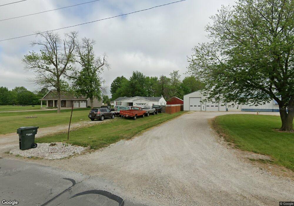
1019 Sinnock Ave Moberly, MO 65270
Estimated Value: $131,000 - $230,000
3
Beds
1
Bath
1,442
Sq Ft
$127/Sq Ft
Est. Value
About This Home
This home is located at 1019 Sinnock Ave, Moberly, MO 65270 and is currently estimated at $183,804, approximately $127 per square foot. 1019 Sinnock Ave is a home located in Randolph County with nearby schools including Moberly Senior High School, St. Pius X. Catholic School, and Maranatha Seventh-day Adventist School.
Ownership History
Date
Name
Owned For
Owner Type
Purchase Details
Closed on
Aug 29, 2019
Sold by
David Stahlschmidt Ret and Stahlschmidt
Bought by
Ealey Marvin L
Current Estimated Value
Home Financials for this Owner
Home Financials are based on the most recent Mortgage that was taken out on this home.
Original Mortgage
$5,499
Outstanding Balance
$4,827
Interest Rate
3.7%
Mortgage Type
Second Mortgage Made To Cover Down Payment
Estimated Equity
$178,977
Create a Home Valuation Report for This Property
The Home Valuation Report is an in-depth analysis detailing your home's value as well as a comparison with similar homes in the area
Home Values in the Area
Average Home Value in this Area
Purchase History
| Date | Buyer | Sale Price | Title Company |
|---|---|---|---|
| Ealey Marvin L | -- | None Available |
Source: Public Records
Mortgage History
| Date | Status | Borrower | Loan Amount |
|---|---|---|---|
| Open | Ealey Marvin L | $5,499 | |
| Open | Ealey Marvin L | $137,464 |
Source: Public Records
Tax History
| Year | Tax Paid | Tax Assessment Tax Assessment Total Assessment is a certain percentage of the fair market value that is determined by local assessors to be the total taxable value of land and additions on the property. | Land | Improvement |
|---|---|---|---|---|
| 2025 | $997 | $18,550 | $1,311 | $17,239 |
| 2024 | $10 | $13,690 | $1,140 | $12,550 |
| 2023 | $1,012 | $13,690 | $1,140 | $12,550 |
| 2022 | $943 | $13,090 | $1,140 | $11,950 |
| 2020 | $892 | $12,400 | $1,140 | $11,260 |
| 2019 | $890 | $12,400 | $1,140 | $11,260 |
| 2018 | $888 | $12,400 | $1,140 | $11,260 |
| 2017 | $862 | $12,060 | $0 | $0 |
| 2016 | $817 | $11,500 | $0 | $0 |
| 2014 | -- | $9,320 | $0 | $0 |
| 2013 | -- | $9,320 | $0 | $0 |
| 2012 | -- | $9,320 | $0 | $0 |
Source: Public Records
Map
Nearby Homes
- Lot 11 Stonebridge Lane (Plat 2)
- Lot 10 Stonebridge Lane (Plat 2)
- 0 Highway 63
- 609 Franklin Ave
- 523 Morehead St
- 619 Madison Ave
- 512 Chandler St
- 537 Fulton Ave
- 722 Vincil St
- 1102 N Morley St
- 703 Taylor St
- 712 Farror St
- 319 Union Ave
- 321 Farror St
- 409 Barrow St
- 204 Bertley St
- 812 N Moulton St
- 216 Lotter St
- 628 Woodland Ave
- 2003 County Road 1740
- 1017 Sinnock Ave
- 1104 Stonebridge Ln
- 1105 Gillan Rd
- 1008 Cobblestone Ct
- 1028 Sinnock Ave
- 1028 Sinnock Ave Unit 37
- 1028 Sinnock Ave Unit 39
- 0 Stonebridge Ln
- 1201 Cobblestone Ct
- 0 Sinnock Ave
- 1109 Stonebridge Ln
- 1101 Sinnock Ave
- 1111 Sinnock Ave
- 1117 Stonebridge Ln
- 1000 Sinnock Ave
- 1123 Gillan Rd
- 911 Sinnock Ave
- 925 Sinnock Ave
- 920 Sinnock Ave
- 1121 Stonebridge Ln
Your Personal Tour Guide
Ask me questions while you tour the home.