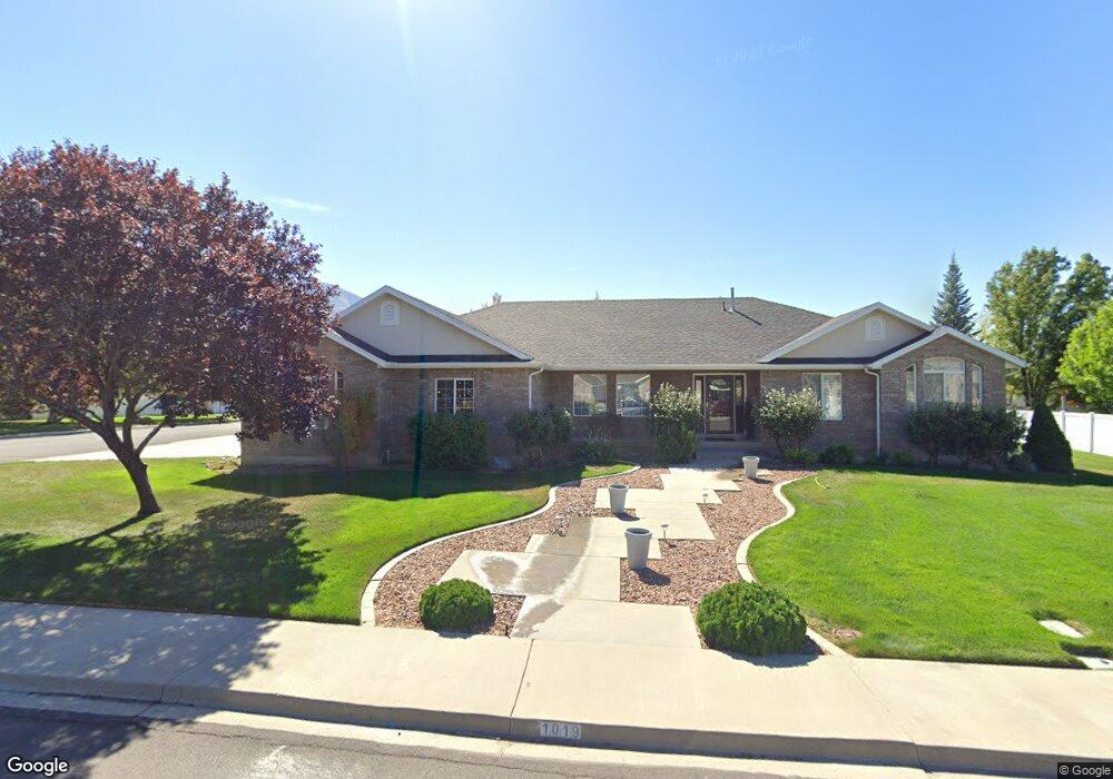
1019 W 1800 N Mapleton, UT 84664
Estimated Value: $742,322 - $795,000
5
Beds
4
Baths
4,550
Sq Ft
$168/Sq Ft
Est. Value
About This Home
This home is located at 1019 W 1800 N, Mapleton, UT 84664 and is currently estimated at $763,441, approximately $167 per square foot. 1019 W 1800 N is a home located in Utah County with nearby schools including Mapleton School, Mapleton Junior High School, and Maple Mountain High School.
Ownership History
Date
Name
Owned For
Owner Type
Purchase Details
Closed on
Jul 21, 2011
Sold by
Witt Willard E and Witt Dixie Lee
Bought by
Witt Willard E and Witt Dixie Lee
Current Estimated Value
Purchase Details
Closed on
Jul 15, 1999
Sold by
Hart Dixie Lee
Bought by
Witt Willard E and Witt Dixie Lee
Purchase Details
Closed on
Aug 14, 1998
Sold by
Anderson James Lee and Anderson Shauna W
Bought by
Hart Dixie Lee
Home Financials for this Owner
Home Financials are based on the most recent Mortgage that was taken out on this home.
Original Mortgage
$100,000
Outstanding Balance
$20,916
Interest Rate
6.95%
Estimated Equity
$742,525
Create a Home Valuation Report for This Property
The Home Valuation Report is an in-depth analysis detailing your home's value as well as a comparison with similar homes in the area
Home Values in the Area
Average Home Value in this Area
Purchase History
| Date | Buyer | Sale Price | Title Company |
|---|---|---|---|
| Witt Willard E | -- | None Available | |
| Witt Willard E | -- | First American Title Co | |
| Hart Dixie Lee | -- | First American Title |
Source: Public Records
Mortgage History
| Date | Status | Borrower | Loan Amount |
|---|---|---|---|
| Open | Hart Dixie Lee | $100,000 |
Source: Public Records
Tax History
| Year | Tax Paid | Tax Assessment Tax Assessment Total Assessment is a certain percentage of the fair market value that is determined by local assessors to be the total taxable value of land and additions on the property. | Land | Improvement |
|---|---|---|---|---|
| 2025 | $3,775 | $393,910 | -- | -- |
| 2024 | $3,775 | $369,820 | $0 | $0 |
| 2023 | $3,975 | $391,820 | $0 | $0 |
| 2022 | $4,046 | $394,350 | $0 | $0 |
| 2021 | $3,431 | $513,400 | $165,200 | $348,200 |
| 2020 | $3,415 | $494,400 | $146,200 | $348,200 |
| 2019 | $2,999 | $443,100 | $140,300 | $302,800 |
| 2018 | $2,785 | $391,800 | $118,200 | $273,600 |
| 2017 | $2,832 | $211,420 | $0 | $0 |
| 2016 | $2,794 | $207,350 | $0 | $0 |
| 2015 | $2,728 | $201,245 | $0 | $0 |
| 2014 | -- | $179,575 | $0 | $0 |
Source: Public Records
Map
Nearby Homes
- 1121 W 1800 N
- 598 W 1600 N
- 1697 N 500 W
- 405 W 1200 N Unit 4
- 487 W 1200 N Unit 1
- 1403 S 625 E
- 1225 N 1380 W
- 1410 W 1200 N
- 949 S 1060 E
- 1518 S 600 E
- 145 W Carnesecca Ct
- 1525 S 400 E Unit 36
- 1518 E Pheasant Run Dr
- 1618 E 970 S
- 1853 S 375 E
- 667 N 550 W
- 677 E 800 South St
- 883 E 700 S
- 1350 N Main St
- 1446 W 600 N Unit 5
Your Personal Tour Guide
Ask me questions while you tour the home.