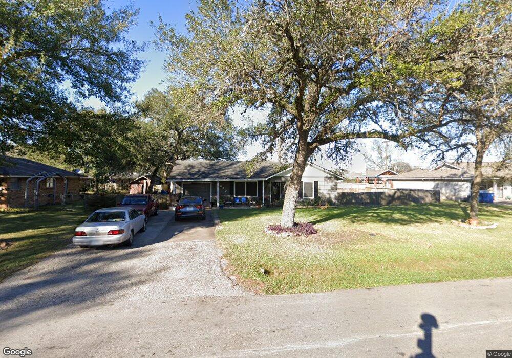
1019 Wilson Dr Rosenberg, TX 77471
Estimated Value: $145,878 - $332,000
2
Beds
1
Bath
1,109
Sq Ft
$199/Sq Ft
Est. Value
About This Home
This home is located at 1019 Wilson Dr, Rosenberg, TX 77471 and is currently estimated at $221,220, approximately $199 per square foot. 1019 Wilson Dr is a home located in Fort Bend County with nearby schools including Smith Elementary School, Lamar Junior High School, and Lamar Consolidated High School.
Ownership History
Date
Name
Owned For
Owner Type
Purchase Details
Closed on
Jun 28, 2010
Sold by
Ybarra Greg and Ybarra Gregary Allen
Bought by
Robledo Aureliano and Robledo Mary Louise
Current Estimated Value
Home Financials for this Owner
Home Financials are based on the most recent Mortgage that was taken out on this home.
Original Mortgage
$78,937
Outstanding Balance
$54,459
Interest Rate
5.5%
Mortgage Type
FHA
Estimated Equity
$166,761
Purchase Details
Closed on
Dec 8, 2006
Sold by
Ybarra Tiffany Ann
Bought by
Ybarra Gregory Allen
Purchase Details
Closed on
Apr 28, 2000
Sold by
Keprta Dennis and Keprta Dorothy A
Bought by
Ybarra Greg and Ybarra Tiffany
Home Financials for this Owner
Home Financials are based on the most recent Mortgage that was taken out on this home.
Original Mortgage
$58,425
Interest Rate
8.19%
Create a Home Valuation Report for This Property
The Home Valuation Report is an in-depth analysis detailing your home's value as well as a comparison with similar homes in the area
Home Values in the Area
Average Home Value in this Area
Purchase History
| Date | Buyer | Sale Price | Title Company |
|---|---|---|---|
| Robledo Aureliano | -- | Stewart Title Richmond | |
| Ybarra Gregory Allen | $54,400 | None Available | |
| Ybarra Greg | -- | American Title Co |
Source: Public Records
Mortgage History
| Date | Status | Borrower | Loan Amount |
|---|---|---|---|
| Open | Robledo Aureliano | $78,937 | |
| Previous Owner | Ybarra Greg | $58,425 |
Source: Public Records
Tax History
| Year | Tax Paid | Tax Assessment Tax Assessment Total Assessment is a certain percentage of the fair market value that is determined by local assessors to be the total taxable value of land and additions on the property. | Land | Improvement |
|---|---|---|---|---|
| 2025 | $61 | $99,443 | $17,654 | $81,789 |
| 2024 | $61 | $127,123 | -- | $130,272 |
| 2023 | $60 | $115,566 | $0 | $130,501 |
| 2022 | $207 | $105,060 | $0 | $118,520 |
| 2021 | $1,982 | $95,510 | $16,220 | $79,290 |
| 2020 | $1,853 | $87,320 | $16,220 | $71,100 |
| 2019 | $1,813 | $79,380 | $16,220 | $63,160 |
| 2018 | $1,675 | $72,160 | $16,220 | $55,940 |
| 2017 | $1,531 | $65,600 | $16,220 | $49,380 |
| 2016 | $1,392 | $59,640 | $16,220 | $43,420 |
| 2015 | $265 | $54,220 | $16,220 | $38,000 |
| 2014 | $411 | $54,810 | $16,220 | $38,590 |
Source: Public Records
Map
Nearby Homes
- 5130 Riverwood Dr
- 4602 Avenue H
- 1704 Mulberry Dr
- 4426 Misty Woods Trail
- 3414 Riverside Glen Ln
- 1215 Main St
- 5303 Rivers Edge Dr
- 5015 Green Gate Trail
- 512 and 514 Travis St
- 6219 Deep Gulch Dr
- 2005 Lamar Dr
- 206 Collins Rd
- 221 Rochelle St
- 4618 Compass Ave
- 4534 Castor Dr
- 2100 Crestwood Dr
- 1905 Dowling Dr
- TBD Preston St
- 606 Fannin St
- 0 Collins Rd Unit 57997814
- 1023 Wilson Dr
- 1016 Woodrow Dr
- 1017 Wilson Dr
- 1020 Woodrow Dr
- 1012 Woodrow Dr
- 1020 Wilson Dr
- 1024 Wilson Dr
- 1101 Wilson Dr
- 1103 Wilson Dr
- 1014 Wilson Dr
- 1102 Wilson Dr
- 1107 Wilson Dr
- 1107 Wilson Dr Unit 1105
- 1105 Wilson Dr
- 1012 Wilson Dr
- 1109 Wilson Dr
- 1035 Timber Ln
- 1039 Timber Ln
- 1108 Wilson Dr
- 1031 Timber Ln
Your Personal Tour Guide
Ask me questions while you tour the home.