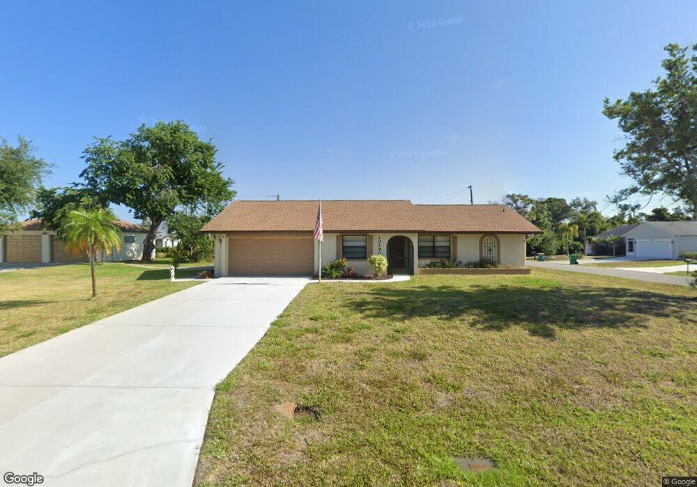
10190 Seabrook Ave Englewood, FL 34224
Englewood East NeighborhoodEstimated Value: $366,000 - $412,000
2
Beds
2
Baths
1,177
Sq Ft
$337/Sq Ft
Est. Value
About This Home
This home is located at 10190 Seabrook Ave, Englewood, FL 34224 and is currently estimated at $396,836, approximately $337 per square foot. 10190 Seabrook Ave is a home located in Charlotte County with nearby schools including Vineland Elementary School, L.A. Ainger Middle School, and Lemon Bay High School.
Ownership History
Date
Name
Owned For
Owner Type
Purchase Details
Closed on
Nov 19, 2024
Sold by
Pardun Roland W and Pardun Carol A
Bought by
Patrick J Dougherty And Wendy L Aldridge-Doug and Dougherty
Current Estimated Value
Home Financials for this Owner
Home Financials are based on the most recent Mortgage that was taken out on this home.
Original Mortgage
$340,000
Outstanding Balance
$336,615
Interest Rate
6.12%
Mortgage Type
Seller Take Back
Estimated Equity
$60,221
Purchase Details
Closed on
Mar 31, 2010
Sold by
Mclaughlin June
Bought by
Pardun Roland W and Pardun Carol A
Create a Home Valuation Report for This Property
The Home Valuation Report is an in-depth analysis detailing your home's value as well as a comparison with similar homes in the area
Home Values in the Area
Average Home Value in this Area
Purchase History
| Date | Buyer | Sale Price | Title Company |
|---|---|---|---|
| Patrick J Dougherty And Wendy L Aldridge-Doug | $440,000 | None Listed On Document | |
| Pardun Roland W | $110,000 | Csb Title Services |
Source: Public Records
Mortgage History
| Date | Status | Borrower | Loan Amount |
|---|---|---|---|
| Open | Patrick J Dougherty And Wendy L Aldridge-Doug | $340,000 |
Source: Public Records
Tax History Compared to Growth
Tax History
| Year | Tax Paid | Tax Assessment Tax Assessment Total Assessment is a certain percentage of the fair market value that is determined by local assessors to be the total taxable value of land and additions on the property. | Land | Improvement |
|---|---|---|---|---|
| 2024 | $5,198 | $317,611 | $42,502 | $275,109 |
| 2023 | $5,198 | $212,886 | $0 | $0 |
| 2022 | $5,294 | $329,628 | $37,400 | $292,228 |
| 2021 | $4,462 | $216,082 | $17,850 | $198,232 |
| 2020 | $3,950 | $192,329 | $15,810 | $176,519 |
| 2019 | $3,780 | $183,939 | $15,810 | $168,129 |
| 2018 | $3,375 | $177,288 | $13,600 | $163,688 |
| 2017 | $1,536 | $103,848 | $0 | $0 |
| 2016 | $1,521 | $101,712 | $0 | $0 |
| 2015 | $1,501 | $101,005 | $0 | $0 |
| 2014 | $1,489 | $100,203 | $0 | $0 |
Source: Public Records
Map
Nearby Homes
- 10152 Willowood Ave
- 10168 Willowood Ave
- 10127 Peach Ave
- 7424 Snow Dr
- 10141 Asbury Ave
- 10235 Stonecrop Ave
- 7409 Teaberry St
- 7368 Quarry St
- 7483 Snow Dr
- 10309 Rachel Ave
- 7296 Skycrest St
- 10341 Greenway Ave
- 11030 Oceanspray Blvd
- 11148 Oceanspray Blvd
- 7378 Mamouth St
- 8100 Memory Ln Unit 207
- 7268 Beardsley St
- 10043 Topsail Ave
- 10051 Topsail Ave
- 8050 Memory Ln Unit 101
- 11926 Seabrook Ave
- 7436 Michael St
- 10174 Seabrook Ave
- 7428 Michael St
- 10189 Seabrook Ave
- 10181 Seabrook Ave
- 10175 Rafferty Ave
- 7452 Michael St
- 10166 Seabrook Ave
- 10173 Seabrook Ave
- 7412 Michael St
- 7403 Michael St
- 7460 Michael St
- 7445 Quaker St
- 10190 Gulfstream Blvd
- 10165 Seabrook Ave
- 10182 Gulfstream Blvd
- 10158 Seabrook Ave
- 7421 Quaker St