10191 S Bug Tussel Rd West Fork, AR 72774
Estimated Value: $349,058 - $381,000
--
Bed
2
Baths
2,016
Sq Ft
$178/Sq Ft
Est. Value
About This Home
This home is located at 10191 S Bug Tussel Rd, West Fork, AR 72774 and is currently estimated at $359,515, approximately $178 per square foot. 10191 S Bug Tussel Rd is a home located in Washington County with nearby schools including Greenland Middle School, Greenland Elementary School, and Greenland High School.
Ownership History
Date
Name
Owned For
Owner Type
Purchase Details
Closed on
Jan 5, 2004
Sold by
Raymond Dan and Raymond Bobi
Bought by
Tackett Jim B and Tackett Melissa J
Current Estimated Value
Create a Home Valuation Report for This Property
The Home Valuation Report is an in-depth analysis detailing your home's value as well as a comparison with similar homes in the area
Home Values in the Area
Average Home Value in this Area
Purchase History
| Date | Buyer | Sale Price | Title Company |
|---|---|---|---|
| Tackett Jim B | $20,000 | Elite Title Company Inc |
Source: Public Records
Tax History Compared to Growth
Tax History
| Year | Tax Paid | Tax Assessment Tax Assessment Total Assessment is a certain percentage of the fair market value that is determined by local assessors to be the total taxable value of land and additions on the property. | Land | Improvement |
|---|---|---|---|---|
| 2025 | $1,284 | $53,480 | $14,000 | $39,480 |
| 2024 | $1,302 | $53,480 | $14,000 | $39,480 |
| 2023 | $1,318 | $53,480 | $14,000 | $39,480 |
| 2022 | $1,335 | $37,400 | $7,930 | $29,470 |
| 2021 | $1,263 | $37,400 | $7,930 | $29,470 |
| 2020 | $1,191 | $37,400 | $7,930 | $29,470 |
| 2019 | $1,118 | $31,380 | $6,500 | $24,880 |
| 2018 | $1,143 | $31,380 | $6,500 | $24,880 |
| 2017 | $1,078 | $31,380 | $6,500 | $24,880 |
| 2016 | $1,124 | $31,380 | $6,500 | $24,880 |
| 2015 | $1,010 | $31,380 | $6,500 | $24,880 |
| 2014 | $936 | $28,260 | $7,750 | $20,510 |
Source: Public Records
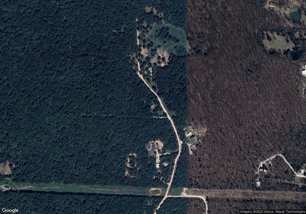
Map
Nearby Homes
- 10247 S Smokey Bear Rd
- 10578 S Smokey Bear Rd
- TBD N Smokey Bear Rd
- 51.39 AC E Black Oak Rd
- 14790 Slaty Gap Rd
- TBD 7.49 Acres Slaty Gap Rd
- TBD 11 Acres Slaty Gap Rd
- 14630 E Wallin Mountain Rd
- 11327 Mountain Spring Dr
- 1464 W Hendon St Unit 101
- 1464 W Hendon St
- 11391 Mountain Spring Dr
- 14605 Mineral Springs Rd
- 10703 Thunder Rd
- 2321 E War Eagle St
- 2608 E Gila Way
- 2680 E Gila Way
- 1329 Homestead Ln
- 3171 S Murray Ave
- 3183 S Murray Ave
- 0 Bug Tussel Rd
- 16.4 Acres Bug Tussle Rd
- 10220 N Bug Tussel Rd
- 10220 N Bug Tussel Rd
- 10072 S Bug Tussel Rd
- 10220 S Bug Tussel Rd
- 10189 A-B Bug Tussle Rd
- 10189 S Bug Tussel Rd
- 10045 S Smokey Bear Rd
- 10215 S Bug Tussel Rd
- 14154 E Wallin Mountain Rd
- 14158 Wallin Mountain Rd
- 10085 N Smokey Bear Rd
- 251 Ac N Smokey Bear Rd
- 10169 N Smokey Bear Rd
- 10050 N Smokey Bear Rd
- 2234 Smokey Bear Rd
- 10166 N Smokey Bear Rd