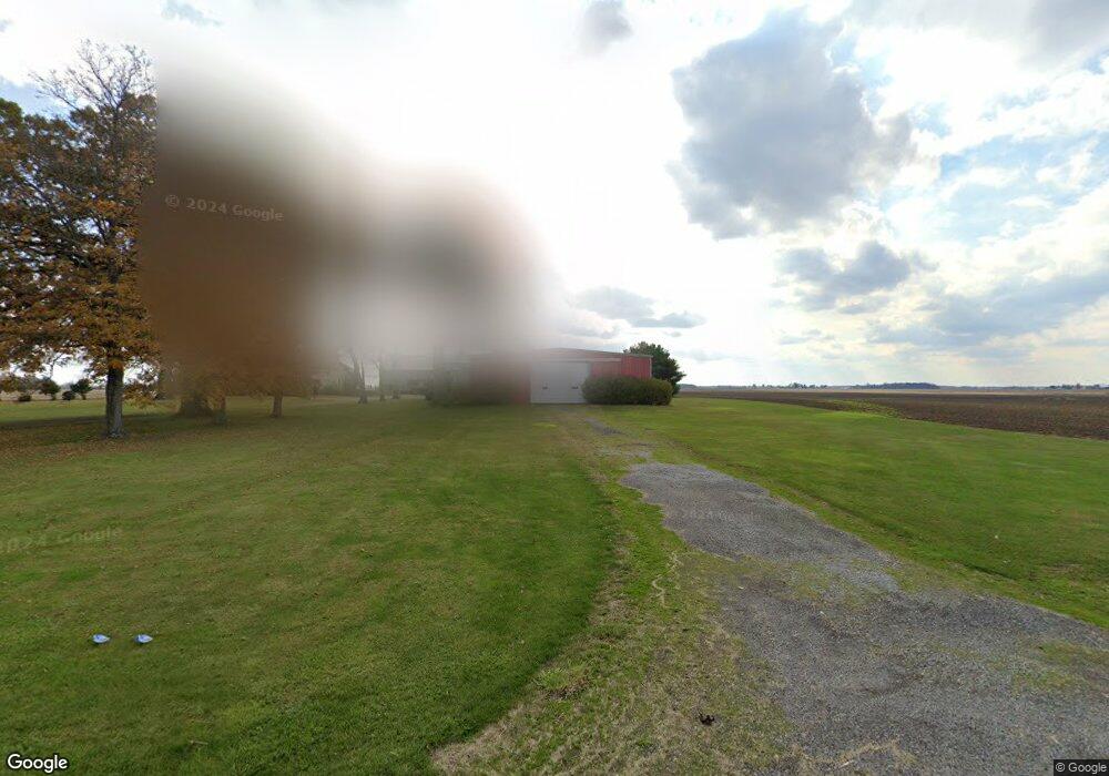
10193 State Highway 53 W Upper Sandusky, OH 43351
Estimated Value: $345,000 - $447,000
About This Home
This home is located at 10193 State Highway 53 W, Upper Sandusky, OH 43351 and is currently estimated at $398,953, approximately $129 per square foot. 10193 State Highway 53 W is a home located in Wyandot County with nearby schools including Upper Sandusky High School and St. Peter Elementary School.
Ownership History
We collect this data history from publicly available records. To have your information removed, we recommend requesting removal directly through your county’s website.
Purchase Details
Purchase Details
Home Financials for this Owner
Home Financials are based on the most recent Mortgage that was taken out on this home.Purchase History
We collect this data history from publicly available records. To have your information removed, we recommend requesting removal directly through your county’s website.
| Date | Buyer | Sale Price | Title Company |
|---|---|---|---|
| $375 | None Listed On Document | ||
| -- | None Available |
Mortgage History
We collect this data history from publicly available records. To have your information removed, we recommend requesting removal directly through your county’s website.
| Date | Status | Borrower | Loan Amount |
|---|---|---|---|
| Previous Owner | $147,100 |
Tax History
We collect this data history from publicly available records. To have your information removed, we recommend requesting removal directly through your county’s website.
| Year | Tax Paid | Tax Assessment Tax Assessment Total Assessment is a certain percentage of the fair market value that is determined by local assessors to be the total taxable value of land and additions on the property. | Land | Improvement |
|---|---|---|---|---|
| 2025 | $4,169 | $118,640 | $10,670 | $107,970 |
| 2024 | $3,764 | $104,950 | $9,960 | $94,990 |
| 2023 | $3,764 | $101,380 | $6,390 | $94,990 |
| 2022 | $3,103 | $92,100 | $5,740 | $86,360 |
| 2021 | $2,950 | $92,100 | $5,740 | $86,360 |
| 2020 | $2,942 | $92,100 | $5,740 | $86,360 |
| 2019 | $2,944 | $92,100 | $5,740 | $86,360 |
| 2018 | $2,279 | $72,760 | $5,690 | $67,070 |
| 2017 | $2,330 | $72,760 | $5,690 | $67,070 |
| 2016 | $2,203 | $72,760 | $5,690 | $67,070 |
| 2015 | -- | $72,600 | $5,530 | $67,070 |
| 2014 | -- | $79,650 | $5,530 | $74,120 |
| 2013 | -- | $73,350 | $5,530 | $67,820 |
Map
- 381 & 383 W Johnson St
- 221&221 1/2 S 7th St
- 9768 County Highway 111
- 387 S Warpole St
- 379 W Spring St
- 459 S Hazel St
- 822 Eulalia Ave
- 431 W Johnson St
- 627 S 8th St
- 326 S 8th St
- 131 N Hazel St
- 702 S 7th St
- 303 W Johnson St
- 134 S 8th St
- 337 W Walker St
- 344 W Walker St
- 386 W Finley St
- 430 S Sandusky Ave
- 123 E Johnson St
- 116 E Walker St
- 10193 State Highway 53 W
- 12031 County Highway 110
- 12081 County Highway 110
- 12101 County Highway 110
- 9986 State Highway 53 W
- 12168 County Highway 110
- 11998 Us Highway 30
- 9912 State Highway 53 W
- Sevent Seventh
- 10631 State Highway 53 W
- US 30 Sr 23
- 203 203 1/2 E Crawford St
- 0 State Highway 53 Unit 6132082
- 123 & 123 1/2 E Hicks St
- 418 & 420 Mcconnell St
- 0 State Hwy 30 Unit 211704
- 0 State Hwy 30 Unit 6093148
- 0 State Highway 53 Unit 6092656
- 1669 Cty Hwy 330
- 12048 Co Hwy
Ask me questions while you tour the home.