10195 Carroll Rd Columbus, MI 48063
Estimated Value: $375,000 - $556,000
--
Bed
--
Bath
2,098
Sq Ft
$220/Sq Ft
Est. Value
About This Home
This home is located at 10195 Carroll Rd, Columbus, MI 48063 and is currently estimated at $462,373, approximately $220 per square foot. 10195 Carroll Rd is a home located in St. Clair County with nearby schools including Will L. Lee School, Richmond Middle School, and Richmond Community High School.
Ownership History
Date
Name
Owned For
Owner Type
Purchase Details
Closed on
Aug 24, 2024
Sold by
Doan Wendy M and Doan Tom C
Bought by
Doan Wendy M
Current Estimated Value
Home Financials for this Owner
Home Financials are based on the most recent Mortgage that was taken out on this home.
Original Mortgage
$155,000
Outstanding Balance
$153,212
Interest Rate
6.77%
Mortgage Type
New Conventional
Estimated Equity
$309,161
Create a Home Valuation Report for This Property
The Home Valuation Report is an in-depth analysis detailing your home's value as well as a comparison with similar homes in the area
Home Values in the Area
Average Home Value in this Area
Purchase History
| Date | Buyer | Sale Price | Title Company |
|---|---|---|---|
| Doan Wendy M | -- | Empower Settlement Services, L |
Source: Public Records
Mortgage History
| Date | Status | Borrower | Loan Amount |
|---|---|---|---|
| Open | Doan Wendy M | $155,000 |
Source: Public Records
Tax History Compared to Growth
Tax History
| Year | Tax Paid | Tax Assessment Tax Assessment Total Assessment is a certain percentage of the fair market value that is determined by local assessors to be the total taxable value of land and additions on the property. | Land | Improvement |
|---|---|---|---|---|
| 2025 | $3,233 | $214,800 | $0 | $0 |
| 2024 | $1,992 | $188,200 | $0 | $0 |
| 2023 | $1,924 | $174,500 | $0 | $0 |
| 2022 | $2,934 | $156,400 | $0 | $0 |
| 2021 | $2,738 | $142,800 | $0 | $0 |
| 2020 | $2,738 | $136,600 | $32,300 | $104,300 |
| 2019 | $2,443 | $123,900 | $0 | $0 |
| 2018 | $2,410 | $119,200 | $0 | $0 |
| 2017 | $1,600 | $116,800 | $0 | $0 |
| 2016 | $1,761 | $116,800 | $0 | $0 |
| 2015 | -- | $98,400 | $30,200 | $68,200 |
| 2014 | -- | $89,500 | $31,000 | $58,500 |
| 2013 | -- | $85,200 | $0 | $0 |
Source: Public Records
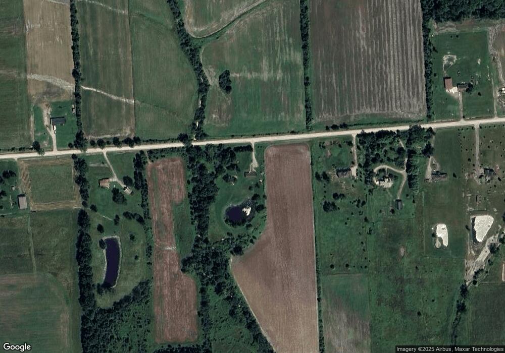
Map
Nearby Homes
- 0 00 Weber Rd 4001-100 Parcel 11 Rd
- 0 00 Weber Rd 4001 - 090 Parcel 10 Rd
- 0 00 Weber Rd 4001 - 080 Parcel 9 Rd
- 0 00 Weber Rd 4001-001 Parcel 1 Rd Unit 50159551
- 0 00 Kroner 4001 - 020 Parcel 3 Rd Unit 50159555
- 00 Kroner Rd 4001 - 010 Parcel 2 Roads
- 0 00 Kroner Rd 4001 - 040 Parcel 5 Rd Unit 50159557
- 0 00 Kroner Rd 4001 - 060 Parcel 7 Rd Unit 50159560
- 0 00 Meskill Rd 4001 - 070 Parcel 8 & 1001-000 Rd Unit 50159561
- 0 Bauman Rd Unit 50090600
- 9505 Dolan Rd
- 36350 Weber Rd
- 370 Wales Ridge Rd
- 00-D Wales Ridge Rd
- 9224 Weber Rd
- 35356 Potter St
- 0 Main Ville Unit 20251030118
- 81061 Durfee St
- 81300 Michigan 19
- 00 Main St
- 10225 Carroll Rd
- 10121 Carroll Rd
- 0 Carroll Rd Unit 50122700
- 0 Carroll Rd
- 10097 Carroll Rd
- 10071 Carroll Rd
- 10260 Carroll Rd
- 10299 Carroll Rd
- 10047 Carroll Rd
- 10335 Carroll Rd
- 10021 Carroll Rd
- 10178 Weber Rd
- 10158 Weber Rd
- 10200 Weber Rd
- 10200 Weber Rd
- 10439 Carroll Rd
- 597 Stoddard Rd
- 10324 Weber Rd
- 10336 Weber Rd
- 10355 Dolan Rd