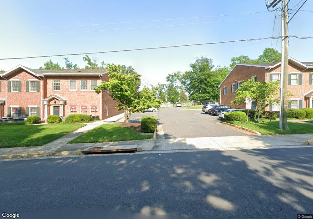
10195 Main St Unit K Fairfax, VA 22031
Estimated Value: $367,455
--
Bed
--
Bath
1,089
Sq Ft
$337/Sq Ft
Est. Value
About This Home
This home is located at 10195 Main St Unit K, Fairfax, VA 22031 and is currently estimated at $367,455, approximately $337 per square foot. 10195 Main St Unit K is a home located in Fairfax City with nearby schools including Daniels Run Elementary School, Johnson Middle School, and Fairfax High.
Ownership History
Date
Name
Owned For
Owner Type
Purchase Details
Closed on
Jun 9, 2016
Sold by
Ransom Eugene T and Delaney Carol
Bought by
Mapco Oriental Medicine Llc
Current Estimated Value
Home Financials for this Owner
Home Financials are based on the most recent Mortgage that was taken out on this home.
Original Mortgage
$210,000
Outstanding Balance
$167,625
Interest Rate
3.66%
Mortgage Type
Commercial
Estimated Equity
$199,830
Create a Home Valuation Report for This Property
The Home Valuation Report is an in-depth analysis detailing your home's value as well as a comparison with similar homes in the area
Home Values in the Area
Average Home Value in this Area
Purchase History
| Date | Buyer | Sale Price | Title Company |
|---|---|---|---|
| Mapco Oriental Medicine Llc | $250,000 | Vision Title & Escrow Llc |
Source: Public Records
Mortgage History
| Date | Status | Borrower | Loan Amount |
|---|---|---|---|
| Open | Mapco Oriental Medicine Llc | $210,000 |
Source: Public Records
Tax History Compared to Growth
Tax History
| Year | Tax Paid | Tax Assessment Tax Assessment Total Assessment is a certain percentage of the fair market value that is determined by local assessors to be the total taxable value of land and additions on the property. | Land | Improvement |
|---|---|---|---|---|
| 2025 | $3,122 | $247,800 | $85,400 | $162,400 |
| 2024 | $3,060 | $247,800 | $85,400 | $162,400 |
| 2023 | $2,949 | $247,800 | $85,400 | $162,400 |
| 2022 | $2,912 | $247,800 | $85,400 | $162,400 |
| 2021 | $2,886 | $240,500 | $85,400 | $155,100 |
| 2020 | $2,886 | $240,500 | $85,400 | $155,100 |
| 2019 | $3,000 | $240,500 | $85,400 | $155,100 |
| 2018 | $2,970 | $240,500 | $85,400 | $155,100 |
| 2017 | $2,946 | $240,500 | $85,400 | $155,100 |
| 2016 | $0 | $231,200 | $85,400 | $145,800 |
| 2015 | -- | $231,200 | $85,400 | $145,800 |
| 2014 | -- | $243,300 | $85,400 | $157,900 |
Source: Public Records
Map
Nearby Homes
- 10111 Ballynahown Cir
- 10328 Sager Ave Unit 402
- 10328 Sager Ave Unit 113
- 10118 Dwight Ave
- 10351 Sager Ave
- 10353 Main St
- 10419 Courthouse Dr
- 4126 Berritt St
- 3907 Fairview Dr
- 4200 Sideburn Rd
- 3931 Tedrich Blvd
- 3830 Farrcroft Dr
- 4136 Orchard Dr
- 3831 Farrcroft Dr
- 10087 Daniels Run Way
- 10400 Whitehead St
- 4202 Forest Ct
- 4211 Orchard Dr
- 3805 Carolyn Ave
- 10231 Aspen Willow Dr
- 10195 Main St Unit L
- 10195 Main St Unit H
- 10195 Main St Unit R
- 10195 Main St Unit S
- 10195 Main St Unit T
- 4013 Locust St
- 10300 Sager Ave
- 10201 Main St
- 4015 Locust St
- 10185 Main St
- 3998 Ballynahown Cir
- 4017 Locust St
- 4020 Walters Ct
- 3996 Ballynahown Cir
- 3999 Ballynahown Cir
- 3997 Ballynahown Cir
- 4022 Walters Ct
- 4021 Locust St
- 10203 Wrens Ct
- 10209 Main St
