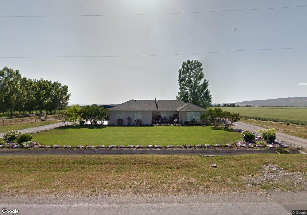
10195 N 4400 W Tremonton, UT 84337
Estimated Value: $456,842 - $578,000
--
Bed
--
Bath
1,687
Sq Ft
$301/Sq Ft
Est. Value
About This Home
This home is located at 10195 N 4400 W, Tremonton, UT 84337 and is currently estimated at $507,711, approximately $300 per square foot. 10195 N 4400 W is a home with nearby schools including McKinley School, Bear River Middle School, and Alice C. Harris Intermediate School.
Ownership History
Date
Name
Owned For
Owner Type
Purchase Details
Closed on
May 2, 2024
Sold by
Roche Cody and Roche Connie R
Bought by
Roche Connie A and Roche Russell C
Current Estimated Value
Home Financials for this Owner
Home Financials are based on the most recent Mortgage that was taken out on this home.
Original Mortgage
$248,000
Outstanding Balance
$244,516
Interest Rate
6.87%
Mortgage Type
New Conventional
Estimated Equity
$263,195
Create a Home Valuation Report for This Property
The Home Valuation Report is an in-depth analysis detailing your home's value as well as a comparison with similar homes in the area
Home Values in the Area
Average Home Value in this Area
Purchase History
| Date | Buyer | Sale Price | Title Company |
|---|---|---|---|
| Roche Connie A | -- | Advanced Title |
Source: Public Records
Mortgage History
| Date | Status | Borrower | Loan Amount |
|---|---|---|---|
| Open | Roche Connie A | $248,000 |
Source: Public Records
Tax History Compared to Growth
Tax History
| Year | Tax Paid | Tax Assessment Tax Assessment Total Assessment is a certain percentage of the fair market value that is determined by local assessors to be the total taxable value of land and additions on the property. | Land | Improvement |
|---|---|---|---|---|
| 2025 | $1,826 | $388,748 | $130,000 | $258,748 |
| 2024 | $1,826 | $389,957 | $128,000 | $261,957 |
| 2023 | $1,864 | $406,178 | $135,000 | $271,178 |
| 2022 | $1,680 | $339,783 | $48,500 | $291,283 |
| 2021 | $1,521 | $241,754 | $48,500 | $193,254 |
| 2020 | $1,396 | $241,754 | $48,500 | $193,254 |
| 2019 | $1,173 | $105,914 | $26,675 | $79,239 |
| 2018 | $1,252 | $105,914 | $26,675 | $79,239 |
| 2017 | $1,298 | $192,570 | $26,675 | $144,070 |
| 2016 | $1,286 | $102,140 | $26,675 | $75,465 |
| 2015 | $1,180 | $95,280 | $26,675 | $68,605 |
| 2014 | $1,180 | $92,013 | $26,675 | $65,338 |
| 2013 | -- | $92,013 | $26,675 | $65,338 |
Source: Public Records
Map
Nearby Homes
- 4693 W 9120 N
- 9449 N Powerline Rd Unit 2
- 9480 N 5600 W
- Emerson 1797 Plan at The Estates At Riverview - The Estates
- Ridge Plan at The Estates At Riverview - The Estates
- 9605 N Highway 38
- 9290 N 5600 W Unit 5
- 9270 N 5600 W Unit 7
- 10135 N Highway 38
- 137 N 870 W Unit 28
- 839 E 180 N Unit 30
- 1215 S 100 E
- Auburn Plan at River's Edge - Tremonton
- Aberdeen Plan at River's Edge - Tremonton
- Glendale Plan at River's Edge - Tremonton
- Lyndhurst Plan at River's Edge - Tremonton
- Sumac Plan at River's Edge - Tremonton
- Redwood Plan at River's Edge - Tremonton
- Summerlyn Plan at River's Edge - Tremonton
- Fairview Plan at River's Edge - Tremonton