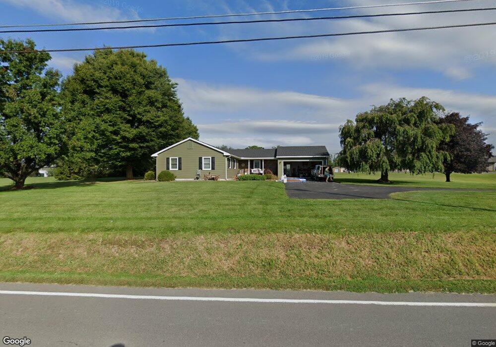
10195 State Route 44 Watsontown, PA 17777
Estimated Value: $116,297 - $413,000
3
Beds
2
Baths
1,504
Sq Ft
$167/Sq Ft
Est. Value
About This Home
This home is located at 10195 State Route 44, Watsontown, PA 17777 and is currently estimated at $250,824, approximately $166 per square foot. 10195 State Route 44 is a home located in Northumberland County with nearby schools including Warrior Run High School, Keefertown Parochial School, and Maranatha Christian School.
Ownership History
Date
Name
Owned For
Owner Type
Purchase Details
Closed on
May 17, 2024
Sold by
Page Karl D and Page Brittie N
Bought by
Page Karl D and Page Brittie N
Current Estimated Value
Purchase Details
Closed on
Jul 20, 2010
Sold by
Wertman Kurtis L and Wertman Lisa M
Bought by
Page Karl D
Home Financials for this Owner
Home Financials are based on the most recent Mortgage that was taken out on this home.
Original Mortgage
$145,000
Interest Rate
4.63%
Mortgage Type
New Conventional
Purchase Details
Closed on
Sep 29, 2005
Sold by
Herman Lisa T and Barrett Lisa Jean
Bought by
Wertman Kurtis L and Stahlnecker Lisa M
Home Financials for this Owner
Home Financials are based on the most recent Mortgage that was taken out on this home.
Original Mortgage
$129,600
Interest Rate
5.84%
Mortgage Type
New Conventional
Create a Home Valuation Report for This Property
The Home Valuation Report is an in-depth analysis detailing your home's value as well as a comparison with similar homes in the area
Home Values in the Area
Average Home Value in this Area
Purchase History
| Date | Buyer | Sale Price | Title Company |
|---|---|---|---|
| Page Karl D | -- | None Listed On Document | |
| Page Karl D | $185,000 | None Available | |
| Wertman Kurtis L | $162,000 | None Available |
Source: Public Records
Mortgage History
| Date | Status | Borrower | Loan Amount |
|---|---|---|---|
| Previous Owner | Page Karl D | $145,000 | |
| Previous Owner | Wertman Kurtis L | $129,600 |
Source: Public Records
Tax History Compared to Growth
Tax History
| Year | Tax Paid | Tax Assessment Tax Assessment Total Assessment is a certain percentage of the fair market value that is determined by local assessors to be the total taxable value of land and additions on the property. | Land | Improvement |
|---|---|---|---|---|
| 2025 | $3,394 | $26,100 | $2,680 | $23,420 |
| 2024 | $3,164 | $26,100 | $2,680 | $23,420 |
| 2023 | $3,165 | $26,100 | $2,680 | $23,420 |
| 2022 | $3,108 | $26,100 | $2,680 | $23,420 |
| 2021 | $3,046 | $26,100 | $2,680 | $23,420 |
| 2020 | $3,008 | $26,100 | $2,680 | $23,420 |
| 2019 | $2,950 | $26,100 | $2,680 | $23,420 |
| 2018 | $2,929 | $26,100 | $2,680 | $23,420 |
| 2017 | $2,734 | $26,100 | $2,680 | $23,420 |
| 2016 | -- | $26,100 | $2,680 | $23,420 |
| 2015 | -- | $26,100 | $2,680 | $23,420 |
| 2014 | -- | $26,100 | $2,680 | $23,420 |
Source: Public Records
Map
Nearby Homes
- 2498 Susquehanna Trail
- 0 Susquehanna Trail
- 2860 8th Street Dr
- 0 Voris Ln
- 384 Pine St
- 359 Main St
- 342 Pine St
- 248 Main St
- 0 Paradise Rd
- 52 Washington St
- 159 Grandview Dr
- 21 Main St
- 115 E 4th St
- 215 E 8th St
- 5 W 7th St
- 953 Schuyler Rd
- PARCEL102A Dachshund Dr
- 818 Main St Unit 820
- 813 Elm St
- 229 Harvey's Ln
- 10195 State Route 44
- 45 Rovenolt Dr
- 10125 State Route 44
- 10095 State Route 44
- 121 Rovenolt Dr
- 175 Rovenolt Dr
- 233 Rovenolt Dr
- 264 Rovenolt Dr
- 271 Rovenolt Dr
- 331 Rovenolt Dr
- 351 Rovenolt Dr
- 389 Rovenolt Dr
- 437 Rovenolt Dr
- 483 Rovenolt Dr
- 24 Walnut St
- 9725 State Route 44
- 20 Walnut St
- 21 Walnut St
- 16 Walnut St
- 9685 State Route 44