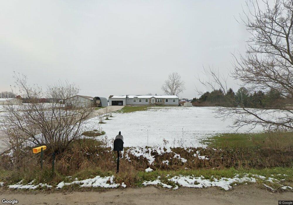
10199 Otter Rd Carleton, MI 48117
Estimated Value: $373,000 - $483,090
3
Beds
3
Baths
2,100
Sq Ft
$194/Sq Ft
Est. Value
About This Home
This home is located at 10199 Otter Rd, Carleton, MI 48117 and is currently estimated at $407,273, approximately $193 per square foot. 10199 Otter Rd is a home located in Monroe County with nearby schools including Airport Senior High School.
Ownership History
Date
Name
Owned For
Owner Type
Purchase Details
Closed on
Aug 8, 2011
Sold by
Watson Mary
Bought by
Jones Barry
Current Estimated Value
Create a Home Valuation Report for This Property
The Home Valuation Report is an in-depth analysis detailing your home's value as well as a comparison with similar homes in the area
Home Values in the Area
Average Home Value in this Area
Purchase History
| Date | Buyer | Sale Price | Title Company |
|---|---|---|---|
| Jones Barry | $165,000 | -- |
Source: Public Records
Tax History
| Year | Tax Paid | Tax Assessment Tax Assessment Total Assessment is a certain percentage of the fair market value that is determined by local assessors to be the total taxable value of land and additions on the property. | Land | Improvement |
|---|---|---|---|---|
| 2025 | $1,448 | $229,100 | $229,100 | $0 |
| 2024 | $1,404 | $213,500 | $0 | $0 |
| 2023 | $1,337 | $171,600 | $0 | $0 |
| 2022 | $2,903 | $171,600 | $0 | $0 |
| 2021 | $2,762 | $169,200 | $0 | $0 |
| 2020 | $2,723 | $156,800 | $0 | $0 |
| 2019 | $2,672 | $156,800 | $0 | $0 |
| 2018 | $2,609 | $140,500 | $0 | $0 |
| 2017 | $2,459 | $140,500 | $0 | $0 |
| 2016 | $2,431 | $123,600 | $0 | $0 |
| 2015 | $2,053 | $94,800 | $0 | $0 |
| 2014 | $2,028 | $94,800 | $0 | $0 |
| 2013 | -- | $88,300 | $0 | $0 |
Source: Public Records
Map
Nearby Homes
- 0000 Telegraph Rd
- 49 James Dr
- 0 N Telegraph Rd Unit 50189310
- 1827 Newport Rd
- 9229 Post Branch Dr Unit 342
- 8737 Daniel Dr
- 1983 Oak St
- 1808 Oak St Unit 701
- 8485 S Stoney Creek Rd
- 1855 Laurel St
- 9067 W Timberview Dr Unit 265
- 9027 W Timberview Dr Unit 277
- 2330 Charter Oak Ct
- 2322 Crestview Dr Unit 99
- 9072 Greentree Dr
- 1405 Cedarcrest Dr
- 12361 Spencer Ln
- 9005 Birch Pointe Dr
- 9601 Exeter Rd
- 12259 Eldora St
Your Personal Tour Guide
Ask me questions while you tour the home.