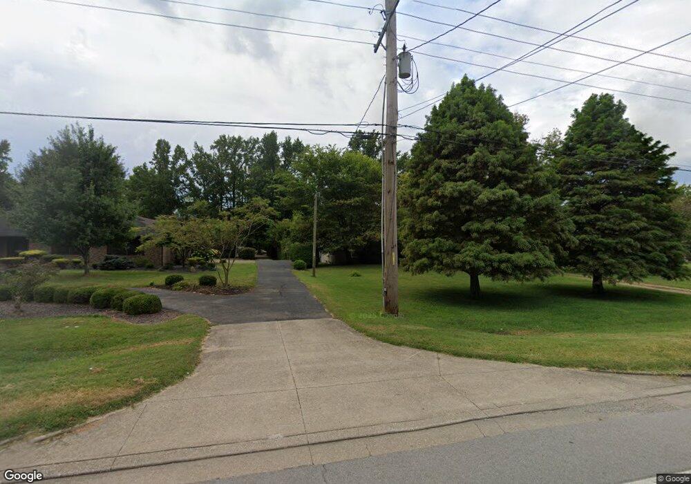
10199 State Route 662 W Newburgh, IN 47630
Estimated Value: $273,000 - $293,237
3
Beds
1
Bath
1,675
Sq Ft
$170/Sq Ft
Est. Value
About This Home
This home is located at 10199 State Route 662 W, Newburgh, IN 47630 and is currently estimated at $284,559, approximately $169 per square foot. 10199 State Route 662 W is a home located in Warrick County with nearby schools including Newburgh Elementary School, Castle North Middle School, and Castle High School.
Ownership History
Date
Name
Owned For
Owner Type
Purchase Details
Closed on
Dec 4, 2006
Sold by
Shultz Leroy and Lerche Donna Faye
Bought by
Lerche Charles S and Lerche Donna F
Current Estimated Value
Home Financials for this Owner
Home Financials are based on the most recent Mortgage that was taken out on this home.
Original Mortgage
$106,250
Outstanding Balance
$63,595
Interest Rate
6.33%
Mortgage Type
New Conventional
Estimated Equity
$220,964
Create a Home Valuation Report for This Property
The Home Valuation Report is an in-depth analysis detailing your home's value as well as a comparison with similar homes in the area
Home Values in the Area
Average Home Value in this Area
Purchase History
| Date | Buyer | Sale Price | Title Company |
|---|---|---|---|
| Lerche Charles S | -- | None Available |
Source: Public Records
Mortgage History
| Date | Status | Borrower | Loan Amount |
|---|---|---|---|
| Open | Lerche Charles S | $106,250 |
Source: Public Records
Tax History Compared to Growth
Tax History
| Year | Tax Paid | Tax Assessment Tax Assessment Total Assessment is a certain percentage of the fair market value that is determined by local assessors to be the total taxable value of land and additions on the property. | Land | Improvement |
|---|---|---|---|---|
| 2024 | $1,803 | $243,500 | $52,100 | $191,400 |
| 2023 | $1,722 | $237,900 | $52,100 | $185,800 |
| 2022 | $1,678 | $224,100 | $52,100 | $172,000 |
| 2021 | $1,373 | $181,700 | $43,600 | $138,100 |
| 2020 | $1,318 | $168,200 | $40,500 | $127,700 |
| 2019 | $1,262 | $168,200 | $40,500 | $127,700 |
| 2018 | $1,203 | $159,400 | $40,500 | $118,900 |
| 2017 | $1,140 | $154,000 | $40,500 | $113,500 |
| 2016 | $1,108 | $151,500 | $40,500 | $111,000 |
| 2014 | $1,055 | $154,900 | $40,500 | $114,400 |
| 2013 | $392 | $88,800 | $40,500 | $48,300 |
Source: Public Records
Map
Nearby Homes
- 5655 Garden Valley Rd
- 10386 Regent Ct
- 9954 Monte Way
- 6077 River Bluff Dr
- 9860 Pollack Ave
- 5633 Byerson Dr
- 9655 Arlington Ct
- 5111 Tippecanoe Dr
- Lot 11 Westbriar Cir
- Lot 33 Westbriar Cir
- 5833 Lenbeck Rd
- 213 Westbriar Blvd
- 9954 Ella Cir
- 6066 Indian Dr
- 105 Temple
- 4856 Marble Dr
- 4940 Penrose Dr
- 10480 Waterford Place
- 4893 Penrose Dr
- 0 Phelps Dr
- 10175 State Route 662 W
- 10211 State Route 662 W
- 10129 State Route 662 W
- 10233 State Route 662 W
- 10244 Taylor Ave
- 10122 State Route 662 W
- 10100 State Route 662 W
- 10255 State Route 662 W
- 5611 Burdette Ln
- 10100 Indiana 662
- 10228 Bourbon St
- 10087 State Route 662 W
- 10222 Bourbon St
- 10100 Bourbon St
- 10226 Bourbon St
- 5600 Burdette Ln
- 10255 Taylor Ave
- 10266 Taylor Ave
- 10088 State Route 662 W
- 10098 Bourbon St