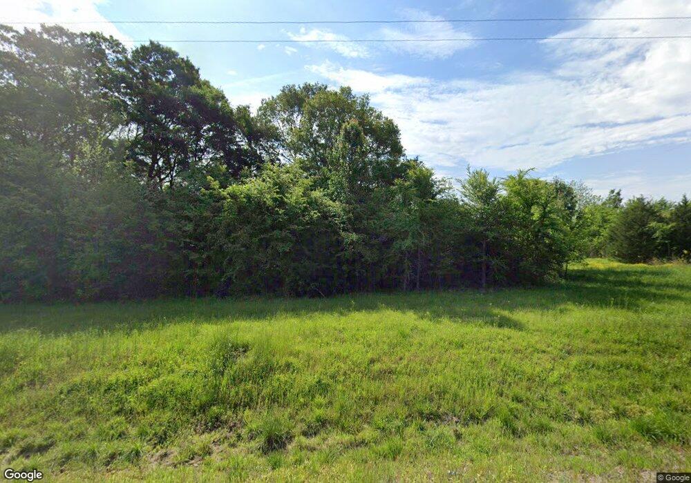
10199 Wildcat Bridge Rd Danielsville, GA 30633
Estimated Value: $304,000 - $379,000
--
Bed
2
Baths
2,240
Sq Ft
$156/Sq Ft
Est. Value
About This Home
This home is located at 10199 Wildcat Bridge Rd, Danielsville, GA 30633 and is currently estimated at $349,137, approximately $155 per square foot. 10199 Wildcat Bridge Rd is a home located in Madison County with nearby schools including Madison County High School.
Ownership History
Date
Name
Owned For
Owner Type
Purchase Details
Closed on
May 16, 2000
Sold by
Summers David Jayson
Bought by
Summers Amy R
Current Estimated Value
Purchase Details
Closed on
Jul 26, 1999
Sold by
Summers Wayne and Summers Sidn
Bought by
Summers David Jayson
Create a Home Valuation Report for This Property
The Home Valuation Report is an in-depth analysis detailing your home's value as well as a comparison with similar homes in the area
Home Values in the Area
Average Home Value in this Area
Purchase History
| Date | Buyer | Sale Price | Title Company |
|---|---|---|---|
| Summers Amy R | -- | -- | |
| Summers David Jayson | -- | -- |
Source: Public Records
Tax History Compared to Growth
Tax History
| Year | Tax Paid | Tax Assessment Tax Assessment Total Assessment is a certain percentage of the fair market value that is determined by local assessors to be the total taxable value of land and additions on the property. | Land | Improvement |
|---|---|---|---|---|
| 2024 | $3,460 | $134,951 | $30,831 | $104,120 |
| 2023 | $3,750 | $122,851 | $25,693 | $97,158 |
| 2022 | $2,790 | $103,148 | $17,663 | $85,485 |
| 2021 | $2,458 | $82,528 | $17,663 | $64,865 |
| 2020 | $2,396 | $79,959 | $15,094 | $64,865 |
| 2019 | $1,986 | $78,524 | $15,094 | $63,430 |
| 2018 | $1,927 | $75,208 | $13,809 | $61,399 |
| 2017 | $2,162 | $75,073 | $12,846 | $62,227 |
| 2016 | $1,515 | $65,376 | $12,846 | $52,530 |
| 2015 | $1,513 | $65,376 | $12,846 | $52,530 |
| 2014 | $1,522 | $65,729 | $13,165 | $52,564 |
| 2013 | -- | $65,695 | $13,165 | $52,530 |
Source: Public Records
Map
Nearby Homes
- 0 Georgia 191
- 0 Hwy 191 Unit CL339505
- 0 Hwy 29 N Unit 10574548
- 0 Hwy 29 N Unit CL335575
- 1885 Highway 29 N
- 0 Cedar Ln Unit 1026097
- 0 Cedar Ln Unit 10530523
- 107 Hill Lake Rd
- 795 E Jones Chapel Rd
- 0 Irvin Kirk Rd
- 255 Hillwood Dr Unit 1
- 430 Sherwood Cir
- 105 Georgia 98
- 6356 Highway 191
- 6356 Georgia 191
- 28 Acres Irvin Kirk Rd
- 00 Highway 29 Unit A
- 0 New Haven Church Rd Unit CL334534
- 0 New Haven Church Rd Unit 10566118
- 0 New Haven Church Rd Unit CL334526
- 10099 Wildcat Bridge Rd
- 0 Hickory Hills Rd Unit 8438007
- 0 Hickory Hills Rd Unit 7210583
- 0 Hickory Hills Rd Unit 5242352
- 0 Hickory Hills Rd Unit 973818
- 0 Hickory Hills Rd Unit 1000631
- 0 Hickory Hills Rd Unit 10077211
- 0 Hickory Hills Rd Unit 8861742
- 0 Hickory Hills Rd Unit 8884160
- 0 Hickory Hills Rd Unit 8791215
- 0 Hickory Hills Rd Unit 8743067
- 0 Hickory Hills Rd Unit 7260991
- 10309 Wildcat Bridge Rd
- 10286 Wildcat Bridge Rd
- 3700 Highway 191
- 10348 Wildcat Bridge Rd
- 10412 Wildcat Bridge Rd
- 101 Hickory Hills Rd
- 10433 Wildcat Bridge Rd
- 10019 Wildcat Bridge Rd
