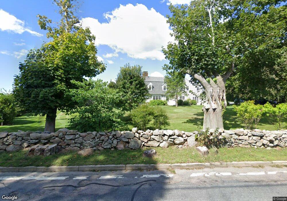
101A Sakonnet Point Rd Little Compton, RI 02837
Estimated Value: $2,504,000 - $3,789,201
Studio
--
Bath
--
Sq Ft
108,900
Sq Ft Lot
About This Home
This home is located at 101A Sakonnet Point Rd, Little Compton, RI 02837 and is currently estimated at $3,014,067. 101A Sakonnet Point Rd is a home located in Newport County with nearby schools including Wilbur & McMahon School.
Ownership History
Date
Name
Owned For
Owner Type
Purchase Details
Closed on
Jun 11, 2024
Sold by
Dawson Matthew B and Dawson Pamela W
Bought by
Matthew B Dawson Ft and Dawson
Current Estimated Value
Create a Home Valuation Report for This Property
The Home Valuation Report is an in-depth analysis detailing your home's value as well as a comparison with similar homes in the area
Home Values in the Area
Average Home Value in this Area
Purchase History
| Date | Buyer | Sale Price | Title Company |
|---|---|---|---|
| Matthew B Dawson Ft | -- | None Available | |
| Matthew B Dawson Ft | -- | None Available |
Source: Public Records
Tax History
| Year | Tax Paid | Tax Assessment Tax Assessment Total Assessment is a certain percentage of the fair market value that is determined by local assessors to be the total taxable value of land and additions on the property. | Land | Improvement |
|---|---|---|---|---|
| 2025 | $11,610 | $2,423,800 | $779,800 | $1,644,000 |
| 2024 | $11,880 | $2,338,500 | $678,200 | $1,660,300 |
| 2023 | $10,920 | $2,201,700 | $678,200 | $1,523,500 |
| 2022 | $10,685 | $2,180,700 | $678,200 | $1,502,500 |
| 2021 | $11,953 | $1,978,900 | $550,100 | $1,428,800 |
| 2020 | $11,034 | $1,842,000 | $550,100 | $1,291,900 |
| 2019 | $10,227 | $1,724,700 | $550,100 | $1,174,600 |
| 2018 | $10,044 | $1,685,200 | $509,000 | $1,176,200 |
| 2016 | $9,555 | $1,685,200 | $509,000 | $1,176,200 |
| 2015 | $9,531 | $1,657,500 | $425,900 | $1,231,600 |
| 2014 | $8,043 | $1,426,100 | $425,900 | $1,000,200 |
Source: Public Records
Map
Nearby Homes
- 101 Sakonnet Point Rd
- 11 Goodrich Ln
- 109 Sakonnet Point Rd
- 95 Sakonnet Point Rd
- 100 Sakonnet Point Rd
- 98 Sakonnet Point Rd
- 91 Sakonnet Point Rd
- 106 Sakonnet Point Rd
- 106B Sakonnet Point Rd
- 115 Sakonnet Point Rd
- 114 Sakonnet Point Rd
- 96 Sakonnet Point Rd
- 6 Goodrich Ln
- 90 Sakonnet Point Rd
- 116 Sakonnet Point Rd
- 127 Sakonnet Point Rd
- 127C Sakonnet Point Rd
- 118 Sakonnet Point Rd
- 99F Sakonnet Point Rd
- 19 Goodrich Ln
Your Personal Tour Guide
Ask me questions while you tour the home.