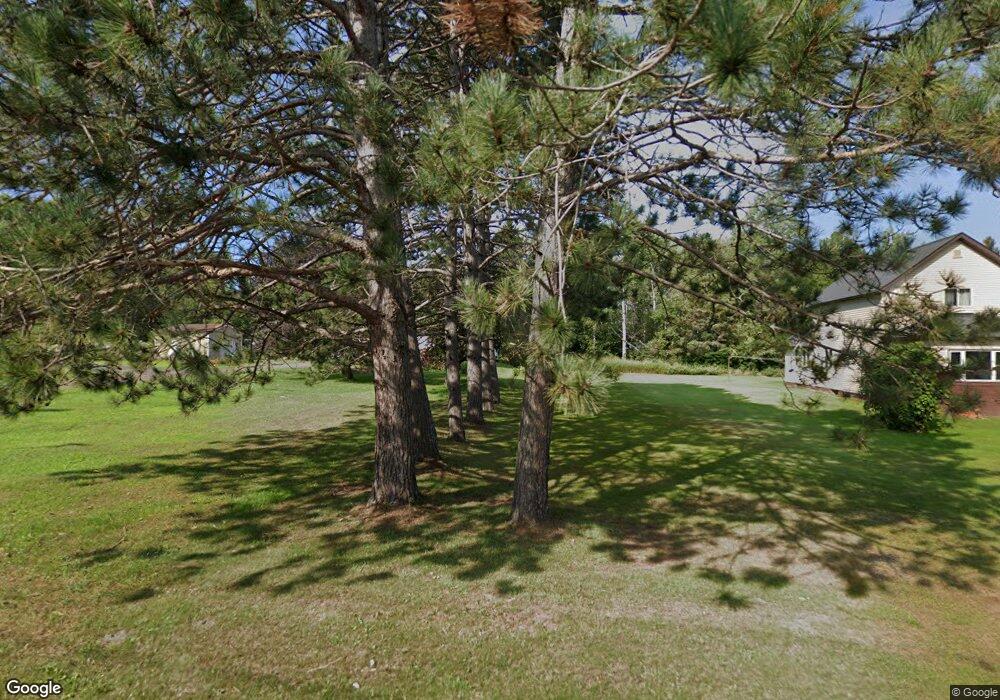
102 10th Ave N Hurley, WI 54534
Estimated Value: $76,000 - $138,000
--
Bed
--
Bath
--
Sq Ft
10,454
Sq Ft Lot
About This Home
This home is located at 102 10th Ave N, Hurley, WI 54534 and is currently estimated at $115,575. 102 10th Ave N is a home located in Iron County with nearby schools including Hurley Elementary School, Hurley High School, and All Saints Catholic Academy.
Ownership History
Date
Name
Owned For
Owner Type
Purchase Details
Closed on
Jan 4, 2018
Sold by
Ducharme Mary Jo and Jacobson Jean Ann
Bought by
Doyle Chauncey William
Current Estimated Value
Purchase Details
Closed on
Jun 27, 2016
Sold by
Traczyk Roberta L
Bought by
Ducharme Mary Jo and Jacobson Jean Ann
Purchase Details
Closed on
Jun 1, 2016
Sold by
Traczyk Mary Alice
Bought by
Traczyk Roberta L
Purchase Details
Closed on
May 27, 2011
Sold by
Jollcoeur Michael C
Bought by
Skawinski Beverly
Create a Home Valuation Report for This Property
The Home Valuation Report is an in-depth analysis detailing your home's value as well as a comparison with similar homes in the area
Home Values in the Area
Average Home Value in this Area
Purchase History
| Date | Buyer | Sale Price | Title Company |
|---|---|---|---|
| Doyle Chauncey William | $25,500 | Associated Title & Closing S | |
| Ducharme Mary Jo | $42,900 | -- | |
| Traczyk Roberta L | -- | -- | |
| Skawinski Beverly | $16,600 | None Available |
Source: Public Records
Tax History Compared to Growth
Tax History
| Year | Tax Paid | Tax Assessment Tax Assessment Total Assessment is a certain percentage of the fair market value that is determined by local assessors to be the total taxable value of land and additions on the property. | Land | Improvement |
|---|---|---|---|---|
| 2024 | $889 | $59,300 | $8,400 | $50,900 |
| 2023 | $672 | $26,600 | $4,000 | $22,600 |
| 2022 | $667 | $26,600 | $4,000 | $22,600 |
| 2021 | $774 | $26,600 | $4,000 | $22,600 |
| 2020 | $779 | $26,600 | $4,000 | $22,600 |
| 2019 | $809 | $26,600 | $4,000 | $22,600 |
| 2018 | $785 | $26,600 | $4,000 | $22,600 |
| 2017 | $1,314 | $42,700 | $4,000 | $38,700 |
| 2016 | $1,149 | $42,700 | $4,000 | $38,700 |
| 2015 | $1,109 | $42,700 | $4,000 | $38,700 |
| 2014 | $1,070 | $42,700 | $4,000 | $38,700 |
| 2013 | $1,029 | $42,700 | $4,000 | $38,700 |
Source: Public Records
Map
Nearby Homes
- 509 Poplar St
- 408 6th Ave N
- ON Oak St
- 202 Copper St
- 400 Silver St
- 334 W Ayer St
- TBD U S Highway 2
- 500 W Cloverland Dr Unit US2
- 112 W Pewabic St
- 230 W Michigan Ave
- 615 N Lowell St
- 505 W Southland Ave
- 126 W Michigan Ave
- 227 W Birch St
- 235 W Birch St
- 119 W Oak St
- 213 S Mansfield St
- 224 E Coolidge Ave
- 702 Cary Rd
- 101 S Mansfield St
- 1004 Gold St
- 106 10th Ave N
- 10 10th Ave N
- 13308 N 10th Ave
- 13171 N 10th Ave
- 13121 N 10th Ave
- 13301 N 10th Ave
- 105 10th Ave N
- 109 10th Ave N
- 1007 Gold St
- 1008 Gold St
- 117 10th Ave N
- 115 10th Ave N
- 104 9th Ave N
- 106 9th Ave N
- 100 9th Ave N
- 1003 Division St
- 1001 Division St
- 1009 Division St
- 106 9th Ave N