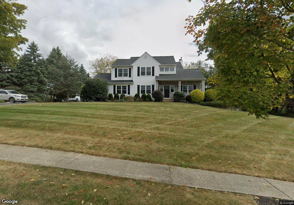
102 Airport Rd Hackettstown, NJ 07840
Estimated Value: $635,873 - $703,000
--
Bed
--
Bath
2,250
Sq Ft
$295/Sq Ft
Est. Value
About This Home
This home is located at 102 Airport Rd, Hackettstown, NJ 07840 and is currently estimated at $663,718, approximately $294 per square foot. 102 Airport Rd is a home located in Warren County with nearby schools including Mansfield Twp Elementary School, Warren Hills Regional Middle School, and Warren Hills Reg High School.
Ownership History
Date
Name
Owned For
Owner Type
Purchase Details
Closed on
Nov 7, 2002
Sold by
Petrole Jacqueline
Bought by
Oleary Sean T and Oleary Christine C
Current Estimated Value
Home Financials for this Owner
Home Financials are based on the most recent Mortgage that was taken out on this home.
Original Mortgage
$332,100
Outstanding Balance
$139,307
Interest Rate
6.04%
Estimated Equity
$524,411
Purchase Details
Closed on
May 15, 2002
Sold by
Barrett Ronald T and Petrole Jacqueline
Bought by
Petrole Jacqueline
Purchase Details
Closed on
Sep 18, 1995
Sold by
Farinella Ltd Partnership
Bought by
Barrett Ronald T and Petrole Jacqueline
Create a Home Valuation Report for This Property
The Home Valuation Report is an in-depth analysis detailing your home's value as well as a comparison with similar homes in the area
Home Values in the Area
Average Home Value in this Area
Purchase History
| Date | Buyer | Sale Price | Title Company |
|---|---|---|---|
| Oleary Sean T | $369,000 | -- | |
| Petrole Jacqueline | -- | -- | |
| Barrett Ronald T | $230,900 | -- |
Source: Public Records
Mortgage History
| Date | Status | Borrower | Loan Amount |
|---|---|---|---|
| Open | Oleary Sean T | $332,100 |
Source: Public Records
Tax History Compared to Growth
Tax History
| Year | Tax Paid | Tax Assessment Tax Assessment Total Assessment is a certain percentage of the fair market value that is determined by local assessors to be the total taxable value of land and additions on the property. | Land | Improvement |
|---|---|---|---|---|
| 2025 | $11,842 | $334,800 | $110,400 | $224,400 |
| 2024 | $11,892 | $334,800 | $110,400 | $224,400 |
| 2023 | $11,681 | $334,800 | $110,400 | $224,400 |
| 2022 | $11,681 | $334,800 | $110,400 | $224,400 |
| 2021 | $11,762 | $334,800 | $110,400 | $224,400 |
| 2020 | $11,644 | $334,800 | $110,400 | $224,400 |
| 2019 | $11,266 | $334,800 | $110,400 | $224,400 |
| 2018 | $10,960 | $334,800 | $110,400 | $224,400 |
| 2017 | $11,028 | $334,800 | $110,400 | $224,400 |
| 2016 | $10,777 | $334,800 | $110,400 | $224,400 |
| 2015 | $10,550 | $334,800 | $110,400 | $224,400 |
| 2014 | $10,215 | $334,800 | $110,400 | $224,400 |
Source: Public Records
Map
Nearby Homes
- 48 Brantwood Terrace
- 21 Highland Ave
- 9 Brantwood Terrace
- 53 Winchester Ave
- 17 Meadow Ln
- 102 Sunnyview Ave E
- 1 Heather Ct
- 225 Riva Dr
- 135 Cynthia Dr
- 250 Riva Dr
- 209 Riva Dr Unit 3A24H
- 133 Deerfield Dr
- 150 College View Dr
- 130 Kings Hwy
- 29 Trafalgar Ct
- 0 Sliker Ln
- 50 Thomas Rd
- 3 Cobblestone Ln
- 533 W Valley View Ave
- 522 W Valley View Ave
- 106 Airport Rd
- 112 Airport Rd
- 97 Airport Rd
- 1 Winchester Ave
- 105 Airport Rd
- 3 Winchester Ave
- 5 Winchester Ave
- 89 Airport Rd
- 2 Kenley Way
- 4 Kenley Way
- 7 Winchester Ave
- 6 Canterbury Ln
- 8 Canterbury Ln
- 2 Winchester Ave
- 6 Winchester Ave
- 4 Winchester Ave
- 2 Canterbury Ln
- 8 Winchester Ave
- 7 Canterbury Ln
- 72 Airport Rd