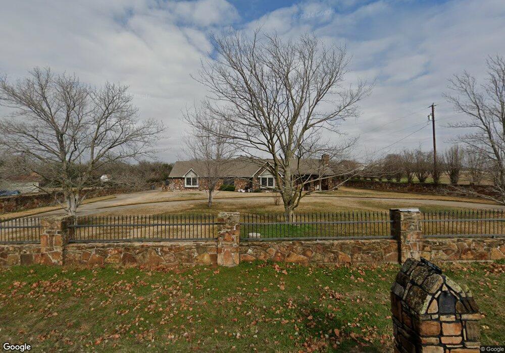
102 Ann Brown Dr Weatherford, TX 76085
Estimated Value: $466,994 - $532,000
--
Bed
--
Bath
2,125
Sq Ft
$234/Sq Ft
Est. Value
About This Home
This home is located at 102 Ann Brown Dr, Weatherford, TX 76085 and is currently estimated at $497,749, approximately $234 per square foot. 102 Ann Brown Dr is a home located in Parker County with nearby schools including Crockett Elementary School, Tison Middle School, and Weatherford High School.
Ownership History
Date
Name
Owned For
Owner Type
Purchase Details
Closed on
Nov 7, 2006
Sold by
Holladay Tommy Clinton and Holladay Barbara Ann
Bought by
Hol Tommy Clinton Holladay and Hol Barbara Ann
Current Estimated Value
Purchase Details
Closed on
Jan 1, 1995
Bought by
Holladay Tommy and Holladay Barbara
Create a Home Valuation Report for This Property
The Home Valuation Report is an in-depth analysis detailing your home's value as well as a comparison with similar homes in the area
Home Values in the Area
Average Home Value in this Area
Purchase History
| Date | Buyer | Sale Price | Title Company |
|---|---|---|---|
| Hol Tommy Clinton Holladay | -- | None Available | |
| Holladay Tommy | -- | -- |
Source: Public Records
Tax History Compared to Growth
Tax History
| Year | Tax Paid | Tax Assessment Tax Assessment Total Assessment is a certain percentage of the fair market value that is determined by local assessors to be the total taxable value of land and additions on the property. | Land | Improvement |
|---|---|---|---|---|
| 2025 | $1,311 | $364,430 | $100,410 | $264,020 |
| 2024 | $1,311 | $364,815 | -- | -- |
| 2023 | $1,311 | $331,650 | $0 | $0 |
| 2022 | $2,460 | $315,610 | $67,430 | $248,180 |
| 2021 | $5,533 | $315,610 | $67,430 | $248,180 |
| 2020 | $5,054 | $249,180 | $42,880 | $206,300 |
| 2019 | $4,929 | $249,180 | $42,880 | $206,300 |
| 2018 | $4,505 | $207,100 | $23,220 | $183,880 |
| 2017 | $4,198 | $207,100 | $23,220 | $183,880 |
| 2016 | $3,816 | $173,670 | $23,220 | $150,450 |
| 2015 | $2,102 | $173,670 | $23,220 | $150,450 |
| 2014 | $2,074 | $142,100 | $13,260 | $128,840 |
Source: Public Records
Map
Nearby Homes
- 150 Ellis Spring Dr
- 600 Joyce St
- 209 Ellis Creek Dr
- 313 De la Cruz St
- 707 Gail Dr
- 719 Gail Dr
- 1860 Trailwood Dr
- Haven Plan at Wossum Ranch
- 1300 Green Ridge Rd
- Vista Plan at Wossum Ranch
- 1305 Green Ridge Rd
- 2277 Tanglewood St
- 161 Cochran Rd
- 1337 Eagle Dr
- 1301 Eagle Dr
- 2358 Tanglewood St
- 1083 E 1st St
- 2113-A Dicey Rd
- 1201 Azle Hwy
- 1211 Van Winkle St
- 2011 Upper Denton Rd
- 202 Ann Brown Dr
- 101 Ann Brown Dr
- 2015 Upper Denton Rd
- 204 Ann Brown Dr
- 2010 Upper Denton Rd
- 2017 Upper Denton Rd
- 175 Ann Brown Dr
- 250 Ann Brown Dr
- 201 Ann Brown Dr
- 2005 Upper Denton Rd
- 245 Ann Brown Dr
- 2065 Upper Denton Rd
- 2004 Upper Denton Rd
- 2045 Upper Denton Rd
- 302 Ann Brown Dr
- 409 Ann Brown Dr
- 404 Ann Brown Dr
- 402 Ann Brown Dr
- 1647 N Bend Rd