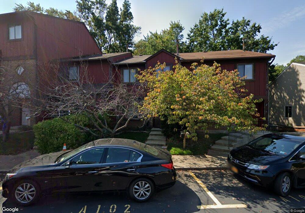
102 Arrowood Ct Staten Island, NY 10309
Rossville NeighborhoodEstimated Value: $473,053 - $535,000
--
Bed
4
Baths
1,056
Sq Ft
$477/Sq Ft
Est. Value
About This Home
This home is located at 102 Arrowood Ct, Staten Island, NY 10309 and is currently estimated at $503,513, approximately $476 per square foot. 102 Arrowood Ct is a home located in Richmond County with nearby schools including P.S. 56 - The Louis Desario School, Is 34 Tottenville, and Tottenville High School.
Ownership History
Date
Name
Owned For
Owner Type
Purchase Details
Closed on
Mar 6, 2008
Sold by
Tenaglia John and Bautista Darlis
Bought by
Bautista Darlis
Current Estimated Value
Create a Home Valuation Report for This Property
The Home Valuation Report is an in-depth analysis detailing your home's value as well as a comparison with similar homes in the area
Home Values in the Area
Average Home Value in this Area
Purchase History
| Date | Buyer | Sale Price | Title Company |
|---|---|---|---|
| Bautista Darlis | -- | None Available |
Source: Public Records
Tax History Compared to Growth
Tax History
| Year | Tax Paid | Tax Assessment Tax Assessment Total Assessment is a certain percentage of the fair market value that is determined by local assessors to be the total taxable value of land and additions on the property. | Land | Improvement |
|---|---|---|---|---|
| 2025 | $4,316 | $26,940 | $5,442 | $21,498 |
| 2024 | $4,329 | $26,160 | $5,303 | $20,857 |
| 2023 | $4,315 | $22,649 | $4,984 | $17,665 |
| 2022 | $4,025 | $25,440 | $6,060 | $19,380 |
| 2021 | $4,194 | $22,020 | $6,060 | $15,960 |
| 2020 | $3,971 | $21,540 | $6,060 | $15,480 |
| 2019 | $3,698 | $20,940 | $6,060 | $14,880 |
| 2018 | $3,550 | $18,874 | $6,052 | $12,822 |
| 2017 | $3,370 | $18,000 | $6,060 | $11,940 |
| 2016 | $3,250 | $17,808 | $5,956 | $11,852 |
| 2015 | $2,746 | $16,800 | $5,040 | $11,760 |
| 2014 | $2,746 | $15,897 | $4,983 | $10,914 |
Source: Public Records
Map
Nearby Homes
- 28 Berry Ct Unit 576
- 24 Berry Ct Unit 574
- 62 Arrowood Ct Unit 601
- 27 Berry Ct Unit 565
- 85 Cypress Loop
- 87 Cypress Loop Unit 243
- 38 Cypress Loop
- 5 Wirt Ave
- 39 Selkirk St
- 132 Gervil St Unit 2ndFl
- 132 Gervil St Unit 2fl
- 22 Charleston Ave Unit 168
- 39 Hemlock Ct Unit 152
- 549 Correll Ave Unit 29
- 591 Correll Ave Unit 146
- 45 Redwood Loop
- 37 Charleston Ave
- 40 Bower Ct
- 60 Pond St
- 97 Bower Ct Unit 1
- 104 Arrowood Ct
- 100 Arrowood Ct
- 106 Arrowood Ct
- 108 Arrowood Ct
- 92 Arrowood Ct Unit 589
- 110 Arrowood Ct
- 90 Arrowood Ct Unit 590
- 112 Arrowood Ct
- 88 Arrowood Ct Unit 591
- 86 Arrowood Ct Unit 592
- 99 Arrowood Ct
- 101 Arrowood Ct
- 97 Arrowood Ct
- 95 Arrowood Ct
- 103 Arrowood Ct
- 105 Arrowood Ct
- 107 Arrowood Ct
- 84 Arrowood Ct Unit 593
- 109 Arrowood Ct
- 33 Wood Ct Unit 588