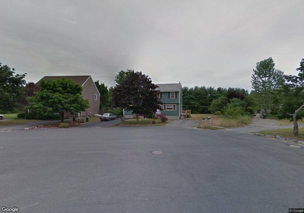
102 Atlanta St Haverhill, MA 01832
Broad Hill NeighborhoodEstimated Value: $342,358 - $440,000
2
Beds
2
Baths
938
Sq Ft
$408/Sq Ft
Est. Value
About This Home
This home is located at 102 Atlanta St, Haverhill, MA 01832 and is currently estimated at $382,340, approximately $407 per square foot. 102 Atlanta St is a home located in Essex County with nearby schools including Tilton Elementary School, Silver Hill Elementary School, and Hilltop School.
Ownership History
Date
Name
Owned For
Owner Type
Purchase Details
Closed on
Sep 23, 2010
Sold by
Lontine Dorothy M and Lontine Ronald E
Bought by
Lontine Ronald E and Lontine Dorothy M
Current Estimated Value
Home Financials for this Owner
Home Financials are based on the most recent Mortgage that was taken out on this home.
Original Mortgage
$97,500
Outstanding Balance
$64,513
Interest Rate
4.48%
Mortgage Type
Purchase Money Mortgage
Estimated Equity
$317,827
Create a Home Valuation Report for This Property
The Home Valuation Report is an in-depth analysis detailing your home's value as well as a comparison with similar homes in the area
Home Values in the Area
Average Home Value in this Area
Purchase History
| Date | Buyer | Sale Price | Title Company |
|---|---|---|---|
| Lontine Ronald E | -- | -- |
Source: Public Records
Mortgage History
| Date | Status | Borrower | Loan Amount |
|---|---|---|---|
| Open | Lontine Ronald E | $97,500 | |
| Previous Owner | Lontine Ronald E | $100,000 | |
| Previous Owner | Lontine Ronald E | $79,120 |
Source: Public Records
Tax History Compared to Growth
Tax History
| Year | Tax Paid | Tax Assessment Tax Assessment Total Assessment is a certain percentage of the fair market value that is determined by local assessors to be the total taxable value of land and additions on the property. | Land | Improvement |
|---|---|---|---|---|
| 2025 | $3,212 | $299,900 | $0 | $299,900 |
| 2024 | $3,003 | $282,200 | $0 | $282,200 |
| 2023 | $3,023 | $271,100 | $0 | $271,100 |
| 2022 | $2,899 | $227,900 | $0 | $227,900 |
| 2021 | $2,994 | $222,800 | $0 | $222,800 |
| 2020 | $2,928 | $215,300 | $0 | $215,300 |
| 2019 | $2,561 | $183,600 | $0 | $183,600 |
| 2018 | $2,520 | $176,700 | $0 | $176,700 |
| 2017 | $2,460 | $164,100 | $0 | $164,100 |
| 2016 | $2,521 | $164,100 | $0 | $164,100 |
| 2015 | $2,310 | $150,500 | $0 | $150,500 |
Source: Public Records
Map
Nearby Homes
- 104 Atlanta St
- 100 Atlanta St
- 98 Atlanta St
- 106 Atlanta St
- 108 Atlanta St
- 96 Atlanta St
- 94 Atlanta St
- 109 Atlanta St
- 107 Atlanta St
- 103 Atlanta St
- 105 Atlanta St
- 105 Atlanta St Unit Left
- 101 Atlanta St
- 99 Atlanta St
- 62 Saint Botolph St
- 63 Saint Botolph St
- 61 Saint Botolph St
- 61 St Botolph St Unit 61
- 123125 Bennington St
- 60 Saint Botolph St