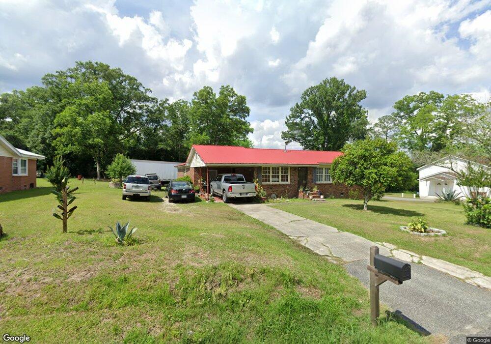
102 Atlantic St Sylvester, GA 31791
Estimated Value: $121,000 - $154,031
4
Beds
2
Baths
1,858
Sq Ft
$76/Sq Ft
Est. Value
About This Home
This home is located at 102 Atlantic St, Sylvester, GA 31791 and is currently estimated at $141,008, approximately $75 per square foot. 102 Atlantic St is a home located in Worth County with nearby schools including Worth County Primary School, Worth County Elementary School, and Worth County Middle School.
Ownership History
Date
Name
Owned For
Owner Type
Purchase Details
Closed on
Oct 18, 2006
Sold by
Citifinancial Svcs Inc
Bought by
Johnson Bobby D
Current Estimated Value
Purchase Details
Closed on
Oct 4, 2005
Sold by
Citifinancial Svcs Inc
Bought by
Citifinancial Svcs Inc
Create a Home Valuation Report for This Property
The Home Valuation Report is an in-depth analysis detailing your home's value as well as a comparison with similar homes in the area
Home Values in the Area
Average Home Value in this Area
Purchase History
| Date | Buyer | Sale Price | Title Company |
|---|---|---|---|
| Johnson Bobby D | $33,000 | -- | |
| Citifinancial Svcs Inc | $62,708 | -- |
Source: Public Records
Tax History Compared to Growth
Tax History
| Year | Tax Paid | Tax Assessment Tax Assessment Total Assessment is a certain percentage of the fair market value that is determined by local assessors to be the total taxable value of land and additions on the property. | Land | Improvement |
|---|---|---|---|---|
| 2024 | $1,168 | $33,138 | $5,166 | $27,972 |
| 2023 | $1,168 | $33,138 | $5,166 | $27,972 |
| 2022 | $1,192 | $33,138 | $5,166 | $27,972 |
| 2021 | $1,190 | $33,138 | $5,166 | $27,972 |
| 2020 | $1,192 | $33,138 | $5,166 | $27,972 |
| 2019 | $1,190 | $33,138 | $5,166 | $27,972 |
| 2018 | $1,124 | $33,138 | $5,166 | $27,972 |
| 2017 | $1,124 | $33,138 | $5,166 | $27,972 |
| 2016 | $1,190 | $33,138 | $5,166 | $27,972 |
| 2015 | $1,125 | $33,138 | $5,166 | $27,972 |
| 2014 | $1,125 | $33,138 | $5,166 | $27,972 |
| 2013 | -- | $33,138 | $5,166 | $27,972 |
| 2012 | -- | $33,138 | $5,166 | $27,972 |
Source: Public Records
Map
Nearby Homes
- 103 N Ayers St
- 107 Gardner Rd
- 0 W Pinson St Unit 10582366
- 307 E Pope St
- 101 Elm St
- 801 N Washington St
- 1432 S Ga Hwy 33s
- 710 S Jefferson St
- 316 Bell Rd
- 203 E Pinson St
- 202 N Westberry St
- 402 N McPhaul St
- 0 Ga Hwy 82 Unit 913408
- 1011 N Washington St
- 1007 N Isabella St
- 1102 N Washington St
- 000 Georgia 256
- 101 Pecan St
- 0 N Isabella St Unit 161570
- 701 N Isabella St
- 106 Atlantic St
- 101 Atlantic St
- 109 N Albany Ave
- 109 Atlantic St
- 803 W Franklin St
- 605 W Pope St
- 110 Atlantic St
- 811 W Franklin St
- 805 W Railroad St
- 809 W Railroad St Unit B
- 809 W Railroad St
- 105 N Ayers St
- 102 N Ayers St
- 807 W Railroad St
- 813 W Franklin St
- 106 N Ayers St
- 107 N Albany Ave
- 712 W Franklin St
- 201 S Albany Ave
- 815 W Railroad St