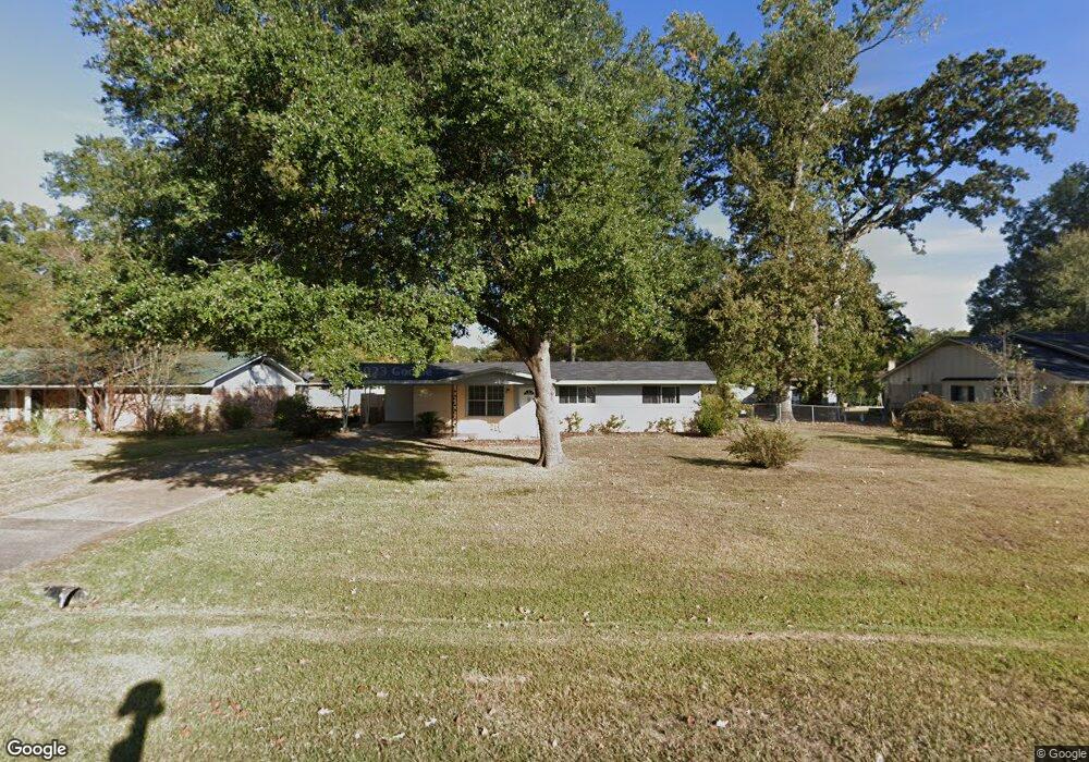
102 Bastrop Dr Monroe, LA 71203
Estimated Value: $107,000 - $169,000
3
Beds
1
Bath
1,458
Sq Ft
$101/Sq Ft
Est. Value
About This Home
This home is located at 102 Bastrop Dr, Monroe, LA 71203 and is currently estimated at $146,817, approximately $100 per square foot. 102 Bastrop Dr is a home located in Ouachita Parish with nearby schools including Jack Hayes Elementary School, Ouachita Junior High School, and Ouachita Parish High School.
Ownership History
Date
Name
Owned For
Owner Type
Purchase Details
Closed on
Mar 23, 2023
Sold by
Douglas Jacola Anthony and Harris Victoria
Bought by
Aber Investments Llc
Current Estimated Value
Home Financials for this Owner
Home Financials are based on the most recent Mortgage that was taken out on this home.
Original Mortgage
$152,100
Outstanding Balance
$144,071
Interest Rate
6.12%
Mortgage Type
New Conventional
Estimated Equity
$2,746
Create a Home Valuation Report for This Property
The Home Valuation Report is an in-depth analysis detailing your home's value as well as a comparison with similar homes in the area
Purchase History
| Date | Buyer | Sale Price | Title Company |
|---|---|---|---|
| Aber Investments Llc | $95,000 | -- | |
| Aber Investments Llc | $95,000 | None Listed On Document |
Source: Public Records
Mortgage History
| Date | Status | Borrower | Loan Amount |
|---|---|---|---|
| Open | Aber Investments Llc | $152,100 | |
| Closed | Aber Investments Llc | $152,100 |
Source: Public Records
Tax History
| Year | Tax Paid | Tax Assessment Tax Assessment Total Assessment is a certain percentage of the fair market value that is determined by local assessors to be the total taxable value of land and additions on the property. | Land | Improvement |
|---|---|---|---|---|
| 2025 | $1,454 | $10,260 | $1,100 | $9,160 |
| 2024 | $1,454 | $10,260 | $1,100 | $9,160 |
| 2023 | $1,453 | $9,033 | $1,100 | $7,933 |
| 2022 | $1,252 | $9,033 | $1,100 | $7,933 |
| 2021 | $1,262 | $9,033 | $1,100 | $7,933 |
| 2020 | $1,275 | $9,131 | $1,100 | $8,031 |
| 2019 | $1,121 | $8,008 | $1,100 | $6,908 |
| 2018 | $1,052 | $8,008 | $1,100 | $6,908 |
| 2017 | $1,077 | $8,008 | $1,100 | $6,908 |
| 2016 | $1,052 | $8,008 | $1,100 | $6,908 |
| 2015 | $71 | $8,008 | $1,100 | $6,908 |
| 2014 | $71 | $8,008 | $1,100 | $6,908 |
| 2013 | $71 | $8,008 | $1,100 | $6,908 |
Source: Public Records
Map
Nearby Homes
- 219 Sterlington Dr
- 4171 Sterlington Rd Unit 4201 STERLINGTON ROA
- 116 Shady Ln
- 411 Birchwood Dr
- 140 Brookwood Dr
- 153 Brookwood Dr
- 83 Peachtree Dr
- 527 Woodhaven Dr
- 0 Old Sterlington Rd
- 117 Oak Cir
- 185 Horseshoe Lake Rd
- 303 Woodale Dr
- 101 Tulip Wood Dr Unit 1
- 308 Woodale Dr Unit 2
- 61 W Elmwood Dr
- 37 W Elmwood Dr
- 31 Azalea Dr
- 16 Camellia Dr
- 55 Magnolia Dr
- 923 Fortune Dr
Your Personal Tour Guide
Ask me questions while you tour the home.