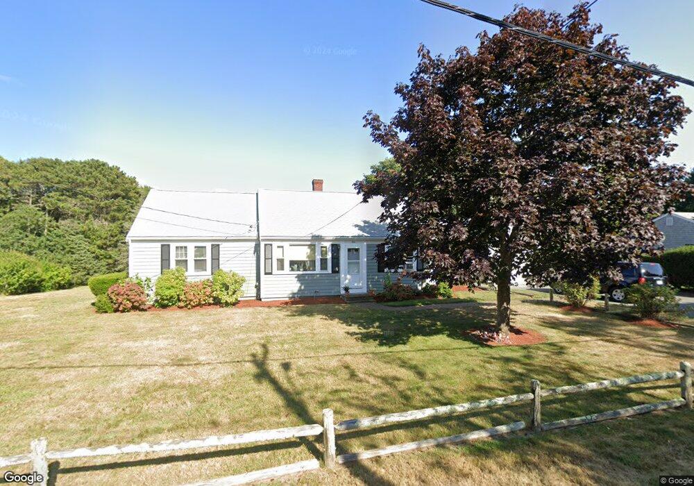
102 Baxter St Dennis Port, MA 02639
West Dennis NeighborhoodEstimated Value: $692,000 - $754,795
4
Beds
2
Baths
1,400
Sq Ft
$520/Sq Ft
Est. Value
About This Home
This home is located at 102 Baxter St, Dennis Port, MA 02639 and is currently estimated at $727,949, approximately $519 per square foot. 102 Baxter St is a home located in Barnstable County with nearby schools including Dennis-Yarmouth Regional High School and St. Pius X. School.
Ownership History
Date
Name
Owned For
Owner Type
Purchase Details
Closed on
Aug 8, 2017
Sold by
Sylvia Ft
Bought by
Old Cape Enterprises L
Current Estimated Value
Home Financials for this Owner
Home Financials are based on the most recent Mortgage that was taken out on this home.
Original Mortgage
$308,000
Outstanding Balance
$256,585
Interest Rate
3.9%
Mortgage Type
Commercial
Estimated Equity
$471,364
Create a Home Valuation Report for This Property
The Home Valuation Report is an in-depth analysis detailing your home's value as well as a comparison with similar homes in the area
Home Values in the Area
Average Home Value in this Area
Purchase History
| Date | Buyer | Sale Price | Title Company |
|---|---|---|---|
| Old Cape Enterprises L | $385,000 | -- |
Source: Public Records
Mortgage History
| Date | Status | Borrower | Loan Amount |
|---|---|---|---|
| Open | Old Cape Enterprises L | $308,000 |
Source: Public Records
Tax History Compared to Growth
Tax History
| Year | Tax Paid | Tax Assessment Tax Assessment Total Assessment is a certain percentage of the fair market value that is determined by local assessors to be the total taxable value of land and additions on the property. | Land | Improvement |
|---|---|---|---|---|
| 2025 | $2,843 | $656,600 | $215,000 | $441,600 |
| 2024 | $2,797 | $637,100 | $218,900 | $418,200 |
| 2023 | $2,709 | $580,000 | $199,000 | $381,000 |
| 2022 | $2,701 | $482,400 | $199,200 | $283,200 |
| 2021 | $9,583 | $415,200 | $175,700 | $239,500 |
| 2020 | $2,404 | $394,100 | $175,700 | $218,400 |
| 2019 | $2,333 | $378,200 | $172,300 | $205,900 |
| 2018 | $8,884 | $350,400 | $164,100 | $186,300 |
| 2017 | $4,122 | $344,900 | $164,100 | $180,800 |
| 2016 | $2,200 | $336,900 | $182,300 | $154,600 |
| 2015 | $2,156 | $336,900 | $182,300 | $154,600 |
| 2014 | $1,908 | $300,400 | $145,800 | $154,600 |
Source: Public Records
Map
Nearby Homes
- 95 Center St
- 15 Yenom Rd
- 20 Aunt Debbys Rd
- 26 Center St
- 3 Pinefield Ln
- 71 Main St
- 125 Main St Unit 3
- 4 Coffey Ln
- 78 Upper County Rd Unit A&B
- 78 Upper County Rd
- 24 Indian Trail
- 268 Main St
- 171 Searsville Rd
- 293 Main St
- 293 Main St
- 295 Main St
- 116 Searsville Rd
- 31 Duck Pond Rd
- 29 Highland St
- 401 Main St Unit 201
- 96 Baxter St
- 133 Center St
- 6 Mulla Ln
- 102 Baxter St
- 137 Center St
- 105 Baxter St
- 105 Baxter St
- 12 Mulla Ln
- 0 Baxter St Unit A 2021541
- 65 Baxter St
- 0 Baxter St Unit 2 2027878
- 0 Baxter St Unit B 2021533
- 0 Baxter St Unit C
- 0 Mulla Ln Unit 2 2037103
- 0 Mulla Ln Unit 1-2
- 99 Baxter St
- 92 Route 134
- 16 Mulla Ln
- 143 Center St
- 126 Center St