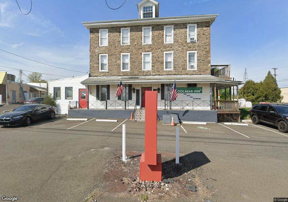
102 Bethlehem Pike Colmar, PA 18915
Estimated Value: $493,283
6
Beds
3
Baths
8,727
Sq Ft
$57/Sq Ft
Est. Value
About This Home
This home is located at 102 Bethlehem Pike, Colmar, PA 18915 and is currently estimated at $493,283, approximately $56 per square foot. 102 Bethlehem Pike is a home located in Montgomery County with nearby schools including A. M. Kulp Elementary School, Penndale Middle School, and North Penn Senior High School.
Ownership History
Date
Name
Owned For
Owner Type
Purchase Details
Closed on
Sep 9, 2020
Sold by
Janvic Properties Llc
Bought by
Mitchell Edward
Current Estimated Value
Home Financials for this Owner
Home Financials are based on the most recent Mortgage that was taken out on this home.
Original Mortgage
$250,000
Outstanding Balance
$219,324
Interest Rate
2.9%
Mortgage Type
New Conventional
Estimated Equity
$276,208
Purchase Details
Closed on
Mar 29, 2017
Sold by
William Penn Bank
Bought by
Janvic Properties Llc
Purchase Details
Closed on
Jul 27, 2015
Sold by
Sheriff Of Montgomery County
Bought by
William Penn Bank
Purchase Details
Closed on
Sep 18, 2002
Sold by
Pams Tavern Inc
Bought by
Colmar Corp Inc
Create a Home Valuation Report for This Property
The Home Valuation Report is an in-depth analysis detailing your home's value as well as a comparison with similar homes in the area
Home Values in the Area
Average Home Value in this Area
Purchase History
| Date | Buyer | Sale Price | Title Company |
|---|---|---|---|
| Mitchell Edward | $350,000 | None Available | |
| Janvic Properties Llc | $270,000 | None Available | |
| William Penn Bank | $2,408 | None Available | |
| Colmar Corp Inc | $377,576 | -- |
Source: Public Records
Mortgage History
| Date | Status | Borrower | Loan Amount |
|---|---|---|---|
| Open | Mitchell Edward | $250,000 | |
| Closed | William Penn Bank | $0 |
Source: Public Records
Tax History
| Year | Tax Paid | Tax Assessment Tax Assessment Total Assessment is a certain percentage of the fair market value that is determined by local assessors to be the total taxable value of land and additions on the property. | Land | Improvement |
|---|---|---|---|---|
| 2025 | $10,738 | $268,200 | -- | -- |
| 2024 | $10,738 | $268,200 | -- | -- |
| 2023 | $10,277 | $268,200 | $0 | $0 |
| 2022 | $9,942 | $268,200 | $0 | $0 |
| 2021 | $11,525 | $319,980 | $171,460 | $148,520 |
| 2020 | $11,252 | $319,980 | $171,460 | $148,520 |
| 2019 | $11,065 | $319,980 | $171,460 | $148,520 |
Source: Public Records
Map
Nearby Homes
- 83 Bethlehem Pike Unit 1306- HAMILTON PLAN
- 83 Bethlehem Pike Unit 1405
- 83 Bethlehem Pike Unit 1111
- 83 Bethlehem Pike Unit 1213 FIRESTONE
- 83 Bethlehem Pike Unit 1106- MADISON PLAN
- 83 Bethlehem Pike Unit 1102- IVY FLOORPLAN
- 83 Bethlehem Pike Unit 1104
- 83 Bethlehem Pike Unit 1109 LEWIS FLOORPLAN
- 52 Arbor Cir
- 2943 E Walnut St Unit 59
- 202 Country Club Dr
- 2732 Valley Woods Rd
- 210 Pinecrest Ln
- 5 Fortuna Dr
- 6 Fortuna Dr
- 9 Fortuna Dr
- 8 Fortuna Dr
- 405 Country Club Dr
- 4595 County Line Rd
- 419 Country Club Dr
- 104 Bethlehem Pike
- 104 Bethlehem Pike Unit APARTMENT A
- 104 Bethlehem Pike Unit B
- 0 Popular Italian Restaurant Unit PAMC680124
- 99 Bethlehem Pike
- 80 Bethlehem Pike
- 83 Bethlehem Pike
- 83 Bethlehem Pike Unit 1213 FIRESTONE
- 83 Bethlehem Pike Unit 1110
- 2618 N Broad St
- 83 Bethlehem Pike St Unit 38424180
- 2739 W Walnut St
- 2621 N Broad St Unit 1
- 2621 N Broad St Unit A
- 2621 N Broad St
- 2733 W Walnut St
- 66 Bethlehem Pike
- 2616 N Broad St Unit 2ND FL
- 2616 N Broad St
- 2616 N Broad St Unit 2ND FLOOR
Your Personal Tour Guide
Ask me questions while you tour the home.