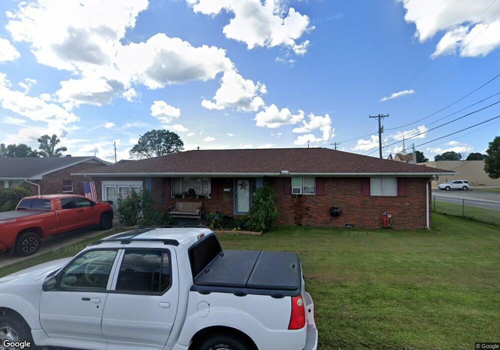
102 Billie Joy Dr South Point, OH 45680
Estimated Value: $197,000 - $259,000
3
Beds
2
Baths
1,680
Sq Ft
$132/Sq Ft
Est. Value
About This Home
This home is located at 102 Billie Joy Dr, South Point, OH 45680 and is currently estimated at $222,542, approximately $132 per square foot. 102 Billie Joy Dr is a home located in Lawrence County with nearby schools including South Point High School.
Ownership History
Date
Name
Owned For
Owner Type
Purchase Details
Closed on
Jun 29, 2025
Sold by
Green Anthony M and Green Regina K
Bought by
Village Of South Point
Current Estimated Value
Purchase Details
Closed on
Apr 11, 1995
Sold by
Evans Albert Harrison J
Bought by
Green Regina K and Green Anthon
Purchase Details
Closed on
Dec 27, 1994
Bought by
Evans Albert Harrison J
Purchase Details
Closed on
Nov 24, 1992
Sold by
Evans Ella G
Bought by
Evans, Ella G. Life Est.
Create a Home Valuation Report for This Property
The Home Valuation Report is an in-depth analysis detailing your home's value as well as a comparison with similar homes in the area
Home Values in the Area
Average Home Value in this Area
Purchase History
| Date | Buyer | Sale Price | Title Company |
|---|---|---|---|
| Village Of South Point | $2,532 | Heritage Land Services | |
| Village Of South Point | $2,532 | Heritage Land Services | |
| Green Regina K | $55,000 | -- | |
| Evans Albert Harrison J | -- | -- | |
| Evans, Ella G. Life Est. | -- | -- |
Source: Public Records
Tax History Compared to Growth
Tax History
| Year | Tax Paid | Tax Assessment Tax Assessment Total Assessment is a certain percentage of the fair market value that is determined by local assessors to be the total taxable value of land and additions on the property. | Land | Improvement |
|---|---|---|---|---|
| 2024 | -- | $54,100 | $9,470 | $44,630 |
| 2023 | $1,855 | $54,100 | $9,470 | $44,630 |
| 2022 | $1,850 | $54,100 | $9,470 | $44,630 |
| 2021 | $1,717 | $47,120 | $7,820 | $39,300 |
| 2020 | $1,730 | $47,120 | $7,820 | $39,300 |
| 2019 | $1,720 | $47,120 | $7,820 | $39,300 |
| 2018 | $1,595 | $42,830 | $7,110 | $35,720 |
| 2017 | $1,592 | $42,830 | $7,110 | $35,720 |
| 2016 | $1,492 | $42,830 | $7,110 | $35,720 |
| 2015 | $1,523 | $41,000 | $7,000 | $34,000 |
| 2014 | $1,521 | $41,000 | $7,000 | $34,000 |
| 2013 | $1,374 | $41,000 | $7,000 | $34,000 |
Source: Public Records
Map
Nearby Homes
- 408 Brubaker Dr
- 205 Michael St
- 105 Orchard Dr
- 101 Henray Dr
- 119 Meadow Ln
- 609 4th St E
- 00 County Road 1
- 102 Park Ave
- 0 Twp R 135
- 110 Kitts Ln
- 404 Township Road 135
- 0 Township Road 135
- 0 Township Road 161 Unit 182331
- 2708 Panola St
- 217 17th St
- 1524 Beech St
- 2800 Walnut St
- 304 15th St
- 3166 Oakland Ave
- 1184 County Road 18
- 104 Billie Joy Dr
- 106 Billie Joy Dr
- 406 Billy Joy Dr
- 103 Billie Joy Dr
- 105 Billie Joy Dr
- 108 Billie Joy Dr
- 408 Solida Rd
- 608 Brubaker Dr
- 610 Brubaker Dr
- 110 Billie Joy Dr
- 606 Brubaker Dr
- 604 Brubaker Dr
- 612 Brubaker Dr
- 107 Billie Joy Dr
- 112 Billie Joy Dr
- 410 Solida Rd
- 602 Brubaker Dr
- 602 Brubaker Dr Unit JO-25
- 320 Solida Rd
- 109 Billie Joy Dr