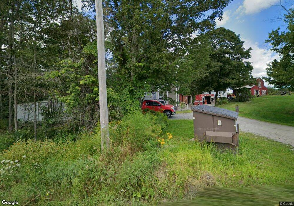
102 Bissell Rd Williamsburg, MA 01096
Estimated Value: $386,000 - $478,000
3
Beds
2
Baths
1,248
Sq Ft
$336/Sq Ft
Est. Value
About This Home
This home is located at 102 Bissell Rd, Williamsburg, MA 01096 and is currently estimated at $419,335, approximately $336 per square foot. 102 Bissell Rd is a home located in Hampshire County with nearby schools including Hampshire Regional High School.
Ownership History
Date
Name
Owned For
Owner Type
Purchase Details
Closed on
Nov 19, 2013
Sold by
Culver Dana M and Culver Laura E
Bought by
Culver Colleen E and Routhier Daniel L
Current Estimated Value
Home Financials for this Owner
Home Financials are based on the most recent Mortgage that was taken out on this home.
Original Mortgage
$164,000
Outstanding Balance
$120,849
Interest Rate
4.24%
Mortgage Type
New Conventional
Estimated Equity
$298,486
Create a Home Valuation Report for This Property
The Home Valuation Report is an in-depth analysis detailing your home's value as well as a comparison with similar homes in the area
Home Values in the Area
Average Home Value in this Area
Purchase History
| Date | Buyer | Sale Price | Title Company |
|---|---|---|---|
| Culver Colleen E | $205,000 | -- | |
| Culver Colleen E | $205,000 | -- | |
| Culver Colleen E | $205,000 | -- |
Source: Public Records
Mortgage History
| Date | Status | Borrower | Loan Amount |
|---|---|---|---|
| Open | Culver Colleen E | $164,000 | |
| Closed | Culver Colleen E | $164,000 | |
| Previous Owner | Culver Colleen E | $122,500 | |
| Previous Owner | Culver Colleen E | $117,000 |
Source: Public Records
Tax History
| Year | Tax Paid | Tax Assessment Tax Assessment Total Assessment is a certain percentage of the fair market value that is determined by local assessors to be the total taxable value of land and additions on the property. | Land | Improvement |
|---|---|---|---|---|
| 2025 | $5,077 | $362,900 | $60,800 | $302,100 |
| 2024 | $4,892 | $331,900 | $57,300 | $274,600 |
| 2023 | $4,811 | $325,300 | $57,300 | $268,000 |
| 2022 | $4,495 | $278,700 | $57,100 | $221,600 |
| 2021 | $3,733 | $264,600 | $54,400 | $210,200 |
| 2020 | $3,689 | $264,600 | $54,400 | $210,200 |
| 2019 | $3,887 | $264,600 | $54,400 | $210,200 |
| 2018 | $3,746 | $239,800 | $51,500 | $188,300 |
| 2017 | $3,354 | $215,300 | $51,500 | $163,800 |
| 2016 | $3,361 | $214,600 | $51,500 | $163,100 |
| 2015 | $3,228 | $219,000 | $56,700 | $162,300 |
Source: Public Records
Map
Nearby Homes
- 0 Fuller Rd
- 0 Washington Rd Unit 73492052
- 12 Pine Rd
- 11 S Chesterfield Rd
- 31 North Rd
- 316 Main Rd
- 146 Berkshire Trail W
- 0 Stage Rd Unit 73433439
- Off Bryant St
- off Bryant St
- 86 Ashfield Rd
- 254 Bryant St
- 0 Sears Rd Unit 73373850
- 134 Nash Hill Rd
- 296 Northwest Rd
- 134 Indian Hollow Rd
- 54 Porter Hill Rd
- LOT 1 Thayer Hill Rd
- 311 Cummington Rd
- 0 Thayer Hill Rd
- 103 Bissell Rd
- 103 Bissell Rd
- 115 Bissell Rd
- 92 Bissell Rd
- 61 Pond Hill Rd
- 83 Pond Hill Rd
- 99 Bissell Rd
- 83 Bissell Rd
- 0 Bissel Phelps Unit 30772455
- 118 Bissell Rd
- 79 Bissell Rd
- 75 Pond Hill Rd
- 77 Bissell Rd
- 115 Bissell Rd
- 0 Phelps Ln Unit 30495253
- 33 Phelps Ln
- 73 Bissell Rd
- 70 Bissell Rd
- 121 Bissell Rd
- 70 Bissell Rd
Your Personal Tour Guide
Ask me questions while you tour the home.