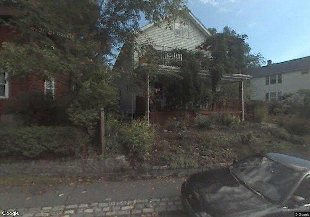
102 Bourne St Unit 104 Jamaica Plain, MA 02130
Jamaica Plain NeighborhoodEstimated Value: $871,332 - $1,177,000
4
Beds
2
Baths
2,080
Sq Ft
$481/Sq Ft
Est. Value
About This Home
This home is located at 102 Bourne St Unit 104, Jamaica Plain, MA 02130 and is currently estimated at $1,001,083, approximately $481 per square foot. 102 Bourne St Unit 104 is a home located in Suffolk County with nearby schools including Brooke Charter School Roslindale, The Croft School - Jamaica Plain, and St. Clare High School.
Ownership History
Date
Name
Owned For
Owner Type
Purchase Details
Closed on
Nov 2, 1989
Sold by
Martin Joseph M
Bought by
Anker Elizabeth J
Current Estimated Value
Home Financials for this Owner
Home Financials are based on the most recent Mortgage that was taken out on this home.
Original Mortgage
$179,300
Interest Rate
9.9%
Mortgage Type
Purchase Money Mortgage
Create a Home Valuation Report for This Property
The Home Valuation Report is an in-depth analysis detailing your home's value as well as a comparison with similar homes in the area
Home Values in the Area
Average Home Value in this Area
Purchase History
| Date | Buyer | Sale Price | Title Company |
|---|---|---|---|
| Anker Elizabeth J | $190,600 | -- |
Source: Public Records
Mortgage History
| Date | Status | Borrower | Loan Amount |
|---|---|---|---|
| Closed | Anker Elizabeth J | $179,300 |
Source: Public Records
Tax History Compared to Growth
Tax History
| Year | Tax Paid | Tax Assessment Tax Assessment Total Assessment is a certain percentage of the fair market value that is determined by local assessors to be the total taxable value of land and additions on the property. | Land | Improvement |
|---|---|---|---|---|
| 2025 | $8,705 | $751,700 | $241,700 | $510,000 |
| 2024 | $8,271 | $758,800 | $230,200 | $528,600 |
| 2023 | $7,762 | $722,700 | $219,200 | $503,500 |
| 2022 | $7,485 | $688,000 | $208,700 | $479,300 |
| 2021 | $7,126 | $667,900 | $202,600 | $465,300 |
| 2020 | $5,852 | $554,200 | $205,700 | $348,500 |
| 2019 | $5,562 | $527,700 | $155,800 | $371,900 |
| 2018 | $5,073 | $484,100 | $155,800 | $328,300 |
| 2017 | $5,024 | $474,400 | $155,800 | $318,600 |
| 2016 | $4,618 | $419,800 | $155,800 | $264,000 |
| 2015 | $4,631 | $382,400 | $163,600 | $218,800 |
| 2014 | $4,252 | $338,000 | $163,600 | $174,400 |
Source: Public Records
Map
Nearby Homes
- 50 Southbourne Rd
- 24 Waterman Rd
- 71 Wyvern St
- 105 Neponset Ave Unit 105
- 348-350 Hyde Park Ave Unit 2
- 103 Neponset Ave Unit 103A
- 103-105 Neponset Ave
- 18-20 Northbourne Rd Unit 18
- 36 Neponset Ave Unit 1
- 31 Rodman St Unit 2
- 31 Rodman St Unit 1
- 602 Canterbury St Unit 14
- 602 Canterbury St Unit 4
- 602 Canterbury St Unit 5
- 602 Canterbury St Unit 2
- 602 Canterbury St Unit 9
- 579 American Legion Hwy
- 577-579 American Legion Hwy
- 32 Jewett St
- 158 Wachusett St Unit 3
- 100 Bourne St
- 98-100 Bourne St Unit 98
- 106 Bourne St Unit 108
- 67 Eastland Rd
- 71 Eastland Rd
- 3 Wallace Park
- 63 Eastland Rd
- 4 Wallace Park
- 110 Bourne St
- 94 Bourne St
- 94 Bourne St Unit 1
- 94 Bourne St Unit 2
- 95 Bourne St Unit 97
- 95-97 Bourne St Unit 1
- 95 Bourne St Unit 1
- 75 Eastland Rd
- 91 Bourne St Unit 93
- 91 Bourne St Unit 221
- 91 Bourne St Unit 91
- 91-93 Bourne St Unit 93