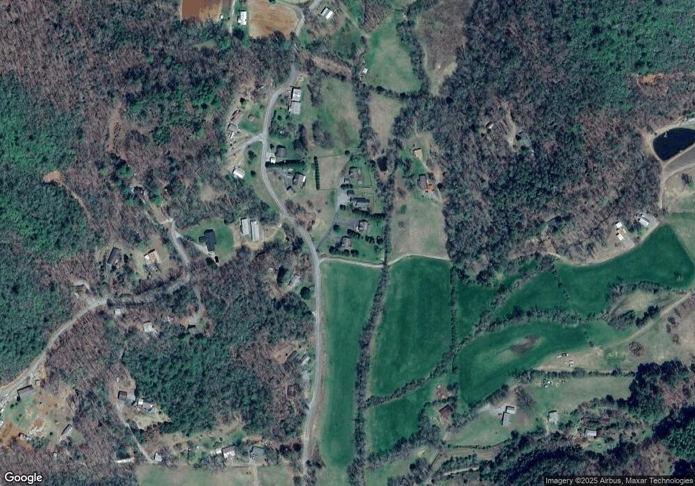
102 Branch Side Dr Hiawassee, GA 30546
Estimated Value: $370,741 - $468,000
2
Beds
2
Baths
1,406
Sq Ft
$297/Sq Ft
Est. Value
About This Home
This home is located at 102 Branch Side Dr, Hiawassee, GA 30546 and is currently estimated at $417,685, approximately $297 per square foot. 102 Branch Side Dr is a home located in Towns County with nearby schools including Towns County Elementary School, Towns County Middle School, and Towns County High School.
Ownership History
Date
Name
Owned For
Owner Type
Purchase Details
Closed on
Aug 31, 2016
Sold by
Marion
Bought by
Wade Donald W and Wade Katherine L
Current Estimated Value
Home Financials for this Owner
Home Financials are based on the most recent Mortgage that was taken out on this home.
Original Mortgage
$141,600
Outstanding Balance
$65,473
Interest Rate
3.43%
Mortgage Type
New Conventional
Estimated Equity
$352,212
Purchase Details
Closed on
Mar 17, 2015
Sold by
Noe William J
Bought by
Smith Marion and Smith Rita
Purchase Details
Closed on
Oct 29, 2009
Sold by
Chatuge Stone Llc
Bought by
Noe William J
Home Financials for this Owner
Home Financials are based on the most recent Mortgage that was taken out on this home.
Original Mortgage
$113,600
Interest Rate
4.93%
Mortgage Type
New Conventional
Create a Home Valuation Report for This Property
The Home Valuation Report is an in-depth analysis detailing your home's value as well as a comparison with similar homes in the area
Home Values in the Area
Average Home Value in this Area
Purchase History
| Date | Buyer | Sale Price | Title Company |
|---|---|---|---|
| Wade Donald W | $177,000 | -- | |
| Smith Marion | $163,000 | -- | |
| Noe William J | $142,000 | -- |
Source: Public Records
Mortgage History
| Date | Status | Borrower | Loan Amount |
|---|---|---|---|
| Open | Wade Donald W | $141,600 | |
| Previous Owner | Noe William J | $113,600 |
Source: Public Records
Tax History Compared to Growth
Tax History
| Year | Tax Paid | Tax Assessment Tax Assessment Total Assessment is a certain percentage of the fair market value that is determined by local assessors to be the total taxable value of land and additions on the property. | Land | Improvement |
|---|---|---|---|---|
| 2024 | $1,356 | $126,262 | $18,000 | $108,262 |
| 2023 | $1,260 | $107,524 | $18,000 | $89,524 |
| 2022 | $1,175 | $100,247 | $18,000 | $82,247 |
| 2021 | $1,013 | $84,015 | $14,000 | $70,015 |
| 2020 | $937 | $73,151 | $14,000 | $59,151 |
| 2019 | $898 | $68,953 | $14,000 | $54,953 |
| 2018 | $916 | $68,581 | $14,000 | $54,581 |
| 2017 | $906 | $65,483 | $14,000 | $51,483 |
| 2016 | $688 | $65,483 | $14,000 | $51,483 |
| 2015 | $778 | $65,483 | $14,000 | $51,483 |
| 2014 | $785 | $65,483 | $14,000 | $51,483 |
| 2013 | -- | $65,482 | $14,000 | $51,482 |
Source: Public Records
Map
Nearby Homes
- 2373 Rainbow Ridge Rd
- 14B & C Rainbow Ridge Rd
- 14B&14C Rainbow Ridge Rd
- 2152 Bugscuffle Spur
- LOT 12 Bugscuffle Spur
- 3023 Bear Ln
- LOT 15 Bear Trail Roaring Ridge Trail
- 317 Collins Creek Rd
- 905 Johnson Rd
- 1444 Abe Cove Rd
- 4.78 AC Hawkview
- 2520 Road 4748
- 557 Grayce Ln
- 1458 Montana Ln
- 0 Hawkview 4 78 Ac Unit 152824
- 2103 Pooh Corner
- Tract 1 Montana Ln
- 1912 Bearmeat Village Rd
- 6A,7A,8R Bend of the River
- 3256 Foster Rd
- 106 Branch Side Dr
- 104 Branchside Dr
- 104 Branch Side Dr
- 104 Branch Side Dr
- 0 Free Branch Rd Unit 255306
- 0 Free Branch Rd Unit 6959803
- 0 Free Branch Rd Unit 9069347
- 102 Branch Unit Dr
- 0 Branch Side Dr Unit 7630088
- 0 Branch Side Dr
- 0 Bearmeat Rd Unit TR 3 7434052
- 0 Bearmeat Rd Unit 144781
- 0 Bearmeat Rd Unit 114228
- 0 Bearmeat Rd Unit B 7599091
- 0 Bearmeat Rd Unit Tract 3 8957250
- 0 Bearmeat Rd Unit 7253885
- 0 Bearmeat Rd Unit 8361092
- 0 Bearmeat Rd Unit 8565043
- 700 Bearmeat Spur
- 702 Bearmeat Rd
