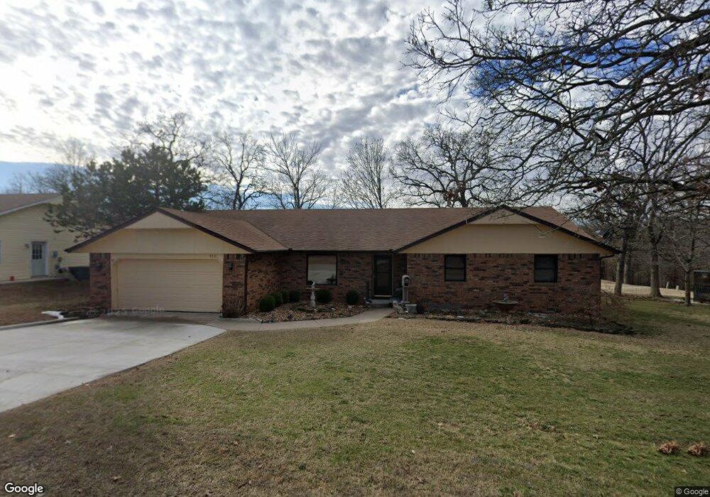
102 Briarbrook Dr Carl Junction, MO 64834
Briarbrook NeighborhoodEstimated Value: $262,069 - $337,000
3
Beds
2
Baths
2,115
Sq Ft
$141/Sq Ft
Est. Value
About This Home
This home is located at 102 Briarbrook Dr, Carl Junction, MO 64834 and is currently estimated at $298,267, approximately $141 per square foot. 102 Briarbrook Dr is a home located in Jasper County with nearby schools including Carl Junction Primary School (K-1), Carl Junction Intermediate School, and Carl Junction Primary School (2-3).
Ownership History
Date
Name
Owned For
Owner Type
Purchase Details
Closed on
Jun 9, 2011
Sold by
Constantine Irene G
Bought by
Constantine Irene G and Robert & Irene G Constantine Trust
Current Estimated Value
Purchase Details
Closed on
Jul 10, 2009
Sold by
Decker Janie and Decker Richard E
Bought by
Spicer Keith L and Spicer Kay K
Purchase Details
Closed on
Jul 31, 2008
Sold by
Decker Janie and Stephens Coeta
Bought by
Decker Janie and Stephens Coeta
Purchase Details
Closed on
Apr 3, 2007
Sold by
Schell Dorothy J
Bought by
Schell Dorothy J and Revocable Trust Of Dorothy J Schell
Create a Home Valuation Report for This Property
The Home Valuation Report is an in-depth analysis detailing your home's value as well as a comparison with similar homes in the area
Home Values in the Area
Average Home Value in this Area
Purchase History
| Date | Buyer | Sale Price | Title Company |
|---|---|---|---|
| Constantine Irene G | -- | Jct | |
| Constantine Irene G | -- | Jct | |
| Spicer Keith L | -- | Jct | |
| Decker Janie | -- | None Available | |
| Schell Dorothy J | -- | None Available |
Source: Public Records
Tax History
| Year | Tax Paid | Tax Assessment Tax Assessment Total Assessment is a certain percentage of the fair market value that is determined by local assessors to be the total taxable value of land and additions on the property. | Land | Improvement |
|---|---|---|---|---|
| 2025 | $1,525 | $26,560 | $2,340 | $24,220 |
| 2024 | $1,530 | $23,790 | $2,340 | $21,450 |
| 2023 | $1,530 | $23,790 | $2,340 | $21,450 |
| 2022 | $1,537 | $23,900 | $2,340 | $21,560 |
| 2021 | $1,333 | $23,900 | $2,340 | $21,560 |
| 2020 | $1,244 | $21,980 | $2,340 | $19,640 |
| 2019 | $1,184 | $21,980 | $2,340 | $19,640 |
| 2018 | $1,316 | $24,580 | $0 | $0 |
| 2017 | $1,319 | $24,580 | $0 | $0 |
| 2016 | $1,292 | $24,270 | $0 | $0 |
Source: Public Records
Map
Nearby Homes
- 111 Briarbrook Dr
- 126 Briarbrook Dr
- 201 Tee Ln
- 804 Summerlyn Ln
- 328 Briarbrook Dr
- 623 Valley View
- 908 Silver Oaks Dr
- 126 N Windwood
- 608 Valley View St
- 408 Angel Lea
- 407 Hodge Dr
- 403 Ashmore Dr
- 307 Ashmore St
- 120 Concord St
- 107 Foursome Ln
- 1308 York St
- 708 Danica Jo Ln
- 306 Lakeview Ln
- 104 Cambridge Dr
- 720 Sheridan Ave
- 104 Briarbrook Dr
- 100 Briarbrook Dr
- 105 Briarbrook Dr
- 105 Briarbrook Dr
- 106 Briarbrook Dr
- 103 Briarbrook Dr
- 108 Briarbrook Dr
- 109 Briarbrook Dr
- 108 Briarbrook Dr
- 101 Briarbrook Dr
- 107 Briarbrook Dr
- 110 Briarbrook Dr
- 112 Briarbrook Dr
- 113 Briarbrook Dr Unit 115
- 99 Briarbrook Dr
- 114 Briarbrook Dr
- 115 Briarbrook Dr Unit 1
- 115 Briarbrook Dr
- 323 Lone Oak Rd
- 117 Briarbrook Dr Unit 119
Your Personal Tour Guide
Ask me questions while you tour the home.