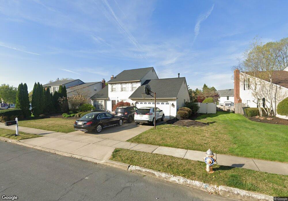
102 Brompton Dr Cherry Hill, NJ 08003
Estimated Value: $626,000 - $719,000
3
Beds
4
Baths
2,726
Sq Ft
$246/Sq Ft
Est. Value
About This Home
This home is located at 102 Brompton Dr, Cherry Hill, NJ 08003 and is currently estimated at $671,909, approximately $246 per square foot. 102 Brompton Dr is a home located in Camden County with nearby schools including Joseph D. Sharp Elementary School, Henry C. Beck Middle School, and Cherry Hill High-East High School.
Ownership History
Date
Name
Owned For
Owner Type
Purchase Details
Closed on
Sep 30, 2011
Sold by
Travers Brian J and Travers Deborah A
Bought by
Bell Edward M and Bell Carol S
Current Estimated Value
Home Financials for this Owner
Home Financials are based on the most recent Mortgage that was taken out on this home.
Original Mortgage
$145,000
Outstanding Balance
$13,097
Interest Rate
3.37%
Mortgage Type
Purchase Money Mortgage
Estimated Equity
$658,812
Create a Home Valuation Report for This Property
The Home Valuation Report is an in-depth analysis detailing your home's value as well as a comparison with similar homes in the area
Home Values in the Area
Average Home Value in this Area
Purchase History
| Date | Buyer | Sale Price | Title Company |
|---|---|---|---|
| Bell Edward M | $290,000 | -- |
Source: Public Records
Mortgage History
| Date | Status | Borrower | Loan Amount |
|---|---|---|---|
| Open | Bell Edward M | $145,000 |
Source: Public Records
Tax History
| Year | Tax Paid | Tax Assessment Tax Assessment Total Assessment is a certain percentage of the fair market value that is determined by local assessors to be the total taxable value of land and additions on the property. | Land | Improvement |
|---|---|---|---|---|
| 2025 | $12,588 | $282,300 | $71,600 | $210,700 |
| 2024 | $11,862 | $282,300 | $71,600 | $210,700 |
| 2023 | $11,862 | $282,300 | $71,600 | $210,700 |
| 2022 | $11,535 | $282,300 | $71,600 | $210,700 |
| 2021 | $11,571 | $282,300 | $71,600 | $210,700 |
| 2020 | $11,430 | $282,300 | $71,600 | $210,700 |
| 2019 | $11,425 | $282,300 | $71,600 | $210,700 |
| 2018 | $11,394 | $282,300 | $71,600 | $210,700 |
| 2017 | $11,238 | $282,300 | $71,600 | $210,700 |
| 2016 | $11,089 | $282,300 | $71,600 | $210,700 |
| 2015 | $10,914 | $282,300 | $71,600 | $210,700 |
| 2014 | $10,792 | $282,300 | $71,600 | $210,700 |
Source: Public Records
Map
Nearby Homes
- 924 Cropwell Rd
- 504 Longstone Dr
- 6 Wheelwright Ln
- 1022 Rymill Run
- 8 Elbow Ln
- 206 Mimosa Dr
- 1525 Squire Ln
- 234 Fir Tree Ct
- 2 Quaker St
- 802 Lindsey Ct Unit 802
- 63 Banner Ct Unit 63
- 44 Ashley Ct
- 28 Harrowgate Dr
- 100 Saint Vincent Ct
- 501 Hickory Cir
- 828 Chanticleer
- 736 Chanticleer Unit C0736
- 205 Chanticleer
- 15 W Main St
- 61 S Maple Ave
- 104 Brompton Dr
- 100 Brompton Dr
- 304 Longstone Dr
- 1 Brompton Place
- 302 Longstone Dr
- 306 Longstone Dr
- 1 Brompton Ct
- 300 Longstone Dr
- 201 Brompton Dr
- 308 Longstone Dr
- 200 Brompton Dr
- 203 Brompton Dr
- 3 Brompton Ct
- 25 Brompton Ct
- 3 Brompton Place
- 310 Longstone Dr
- 202 Longstone Dr
- 213 Longstone Dr
- 211 Longstone Dr
- 215 Longstone Dr
Your Personal Tour Guide
Ask me questions while you tour the home.