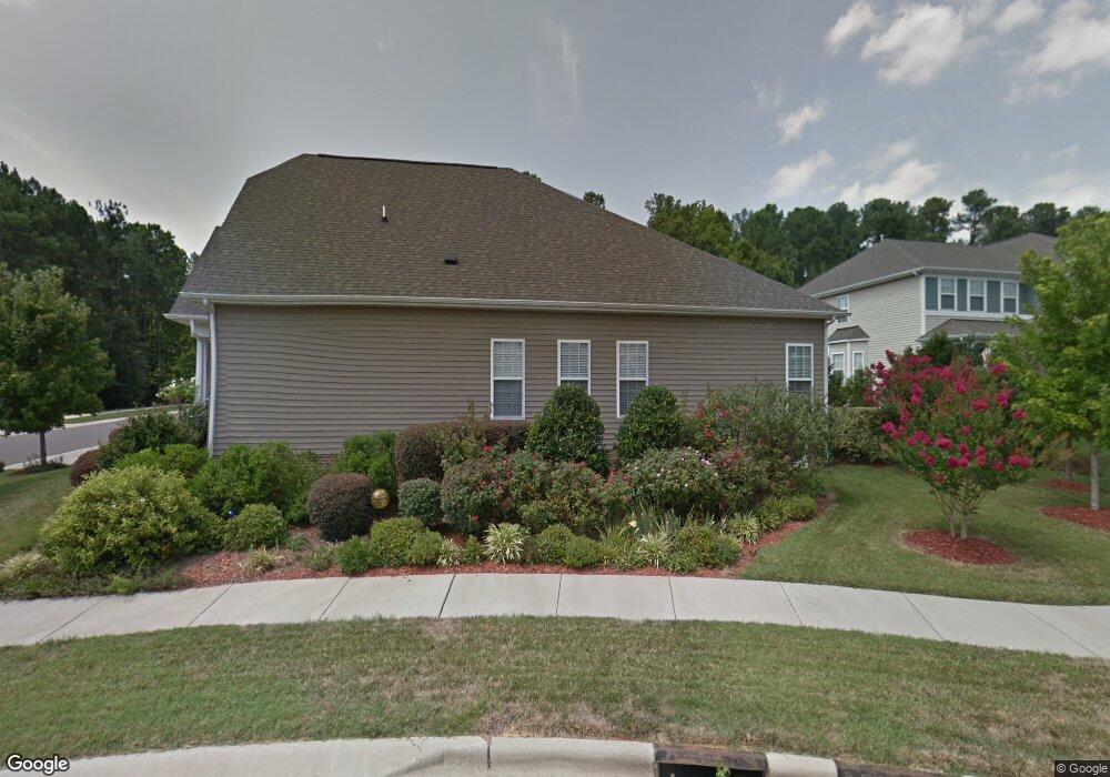
102 Brook Chase Ln Durham, NC 27705
Croasdaile NeighborhoodEstimated Value: $558,000 - $601,000
3
Beds
3
Baths
2,344
Sq Ft
$245/Sq Ft
Est. Value
About This Home
This home is located at 102 Brook Chase Ln, Durham, NC 27705 and is currently estimated at $574,040, approximately $244 per square foot. 102 Brook Chase Ln is a home located in Durham County with nearby schools including Hillandale Elementary School, George L Carrington Middle, and Riverside High School.
Ownership History
Date
Name
Owned For
Owner Type
Purchase Details
Closed on
Jun 27, 2007
Sold by
K Hovnanian Homes Of North Carolina Inc
Bought by
Macdonald Bruce L and Macdonald Kimberly N
Current Estimated Value
Home Financials for this Owner
Home Financials are based on the most recent Mortgage that was taken out on this home.
Original Mortgage
$249,300
Outstanding Balance
$153,032
Interest Rate
6.16%
Mortgage Type
Purchase Money Mortgage
Estimated Equity
$421,008
Create a Home Valuation Report for This Property
The Home Valuation Report is an in-depth analysis detailing your home's value as well as a comparison with similar homes in the area
Home Values in the Area
Average Home Value in this Area
Purchase History
| Date | Buyer | Sale Price | Title Company |
|---|---|---|---|
| Macdonald Bruce L | $290,000 | None Available |
Source: Public Records
Mortgage History
| Date | Status | Borrower | Loan Amount |
|---|---|---|---|
| Open | Macdonald Bruce L | $249,300 |
Source: Public Records
Tax History Compared to Growth
Tax History
| Year | Tax Paid | Tax Assessment Tax Assessment Total Assessment is a certain percentage of the fair market value that is determined by local assessors to be the total taxable value of land and additions on the property. | Land | Improvement |
|---|---|---|---|---|
| 2025 | $4,767 | $540,679 | $106,200 | $434,479 |
| 2024 | $4,767 | $341,737 | $53,010 | $288,727 |
| 2023 | $4,476 | $341,737 | $53,010 | $288,727 |
| 2022 | $4,374 | $341,737 | $53,010 | $288,727 |
| 2021 | $4,353 | $341,737 | $53,010 | $288,727 |
| 2020 | $4,251 | $341,737 | $53,010 | $288,727 |
| 2019 | $4,251 | $351,666 | $53,010 | $298,656 |
| 2018 | $3,955 | $291,524 | $41,230 | $250,294 |
| 2017 | $3,925 | $291,524 | $41,230 | $250,294 |
| 2016 | $3,793 | $291,524 | $41,230 | $250,294 |
| 2015 | $4,534 | $327,528 | $66,471 | $261,057 |
| 2014 | $4,534 | $327,528 | $66,471 | $261,057 |
Source: Public Records
Map
Nearby Homes
- 3 Greenway Cir
- 105 Hay Sedge Ct
- 1709 Faison Rd
- 2100 Skipping Stone Dr
- 2020 Skipping Stone Dr
- 1100 Balsawood Dr
- Collins Plan at Stonewood Estates - Legacy
- Fisher Plan at Stonewood Estates - Landmark
- Winston Plan at Stonewood Estates - Landmark
- Mitchell Plan at Stonewood Estates - Landmark
- Hatteras Plan at Stonewood Estates - Landmark
- Elizabeth Plan at Stonewood Estates - Legacy
- Alexander Plan at Stonewood Estates - Legacy
- Dillon Plan at Stonewood Estates - Legacy
- 30 Appleton Place
- 1417 Colewood Dr
- 104 Cedar Ridge Way
- 4219 Berini Dr
- 1932 Windgate Dr
- 3726 Foxwood Place
- 104 Brook Chase Ln
- 3812 Stoneybrook Dr
- 106 Brook Chase Ln
- 101 Brook Chase Ln
- 3811 Stoneybrook Dr
- 2 Greenway Cir
- 103 Brook Chase Ln
- 3809 Stoneybrook Dr
- 3808 Stoneybrook Dr
- 102 Fox Run Ct
- 104 Fox Run Ct
- 3807 Stoneybrook Dr
- 106 Fox Run Ct
- 5 Greenway Cir
- 8 Greenway Cir
- 3805 Stoneybrook Dr
- 7 Greenway Cir
- 3804 Stoneybrook Dr
- 108 Fox Run Ct
- 103 Fox Run Ct