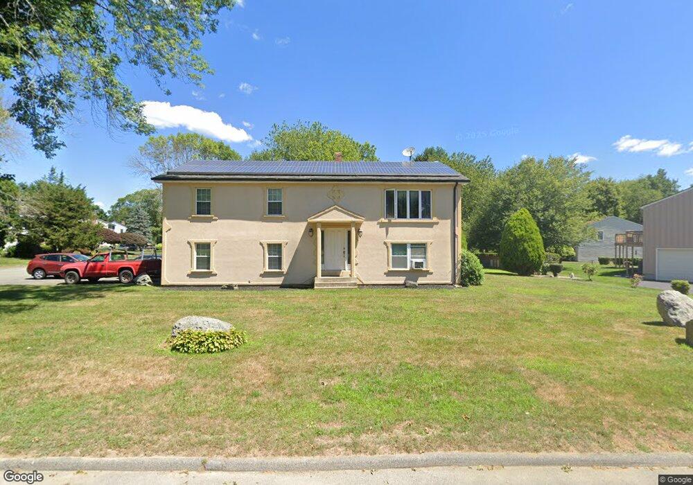
102 Brook Hill Dr Seekonk, MA 02771
Estimated Value: $471,000 - $564,000
3
Beds
2
Baths
1,196
Sq Ft
$428/Sq Ft
Est. Value
About This Home
This home is located at 102 Brook Hill Dr, Seekonk, MA 02771 and is currently estimated at $512,486, approximately $428 per square foot. 102 Brook Hill Dr is a home located in Bristol County with nearby schools including Seekonk High School, St Margaret School, and The Wolf School.
Ownership History
Date
Name
Owned For
Owner Type
Purchase Details
Closed on
Feb 6, 2023
Sold by
Tavares Filipe M
Bought by
Tavares Andrew and Tavares Filipe M
Current Estimated Value
Purchase Details
Closed on
Oct 24, 1989
Sold by
Pacheco Manuel
Bought by
Tavares Filipe M
Create a Home Valuation Report for This Property
The Home Valuation Report is an in-depth analysis detailing your home's value as well as a comparison with similar homes in the area
Home Values in the Area
Average Home Value in this Area
Purchase History
| Date | Buyer | Sale Price | Title Company |
|---|---|---|---|
| Tavares Andrew | -- | None Available | |
| Tavares Filipe M | $176,000 | -- |
Source: Public Records
Mortgage History
| Date | Status | Borrower | Loan Amount |
|---|---|---|---|
| Previous Owner | Tavares Filipe M | $144,200 | |
| Previous Owner | Tavares Filipe M | $9,800 | |
| Previous Owner | Tavares Filipe M | $10,000 |
Source: Public Records
Tax History Compared to Growth
Tax History
| Year | Tax Paid | Tax Assessment Tax Assessment Total Assessment is a certain percentage of the fair market value that is determined by local assessors to be the total taxable value of land and additions on the property. | Land | Improvement |
|---|---|---|---|---|
| 2025 | $5,196 | $420,700 | $155,400 | $265,300 |
| 2024 | $4,992 | $404,200 | $155,400 | $248,800 |
| 2023 | $4,889 | $372,900 | $139,300 | $233,600 |
| 2022 | $4,442 | $333,000 | $133,200 | $199,800 |
| 2021 | $4,264 | $314,200 | $118,400 | $195,800 |
| 2020 | $4,208 | $319,500 | $118,100 | $201,400 |
| 2019 | $4,073 | $311,900 | $118,100 | $193,800 |
| 2018 | $3,997 | $299,400 | $118,100 | $181,300 |
| 2017 | $3,859 | $286,700 | $113,100 | $173,600 |
| 2016 | $3,819 | $284,800 | $113,100 | $171,700 |
| 2015 | $3,730 | $281,900 | $113,100 | $168,800 |
Source: Public Records
Map
Nearby Homes
- 296 Fall River Ave
- 0 Pleasant St
- 0 Milton St Unit 72633661
- 442 Taunton Ave
- 14 Evelyn Way
- 62 Chestnut St
- 12 Arthur St
- 0 Taunton Ave
- 134 Briarbrook Dr
- 349 County St
- 0 Patterson St Unit 73348933
- 524 County St
- 698 Fall River Ave
- 40 Upyonda Way
- 463 Ledge Rd
- 224 Arcade Ave
- 420 Chestnut St
- 759 Fall River Ave
- 147 Olney St
- 42 Tee Jay Dr
- 114 Brook Hill Dr
- 38 Denise Dr
- 90 Brook Hill Dr
- 99 Brook Hill Dr
- 126 Brook Hill Dr
- 111 Brook Hill Dr
- 70 Oak Hill Ave
- 60 Oak Hill Ave
- 64 Oak Hill Ave
- 35 Denise Dr
- 26 Denise Dr
- 87 Brook Hill Dr
- 121 Brook Hill Dr
- 135 Brook Hill Dr
- 78 Brook Hill Dr
- 138 Brook Hill Dr
- 23 Denise Dr
- 14 Denise Dr
- 26 Pamela Ct
- 75 Brook Hill Dr