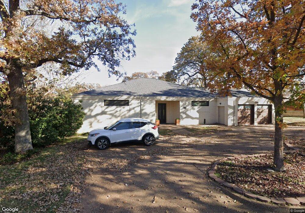
102 Brookside Dr Grapevine, TX 76051
Estimated Value: $644,000 - $900,000
About This Home
This home is located at 102 Brookside Dr, Grapevine, TX 76051 and is currently estimated at $754,179, approximately $197 per square foot. 102 Brookside Dr is a home located in Tarrant County with nearby schools including Cannon Elementary School, Grapevine Middle, and Grapevine High School.
Ownership History
We collect this data history from publicly available records. To have your information removed, we recommend requesting removal directly through your county’s website.
Purchase Details
Home Financials for this Owner
Home Financials are based on the most recent Mortgage that was taken out on this home.Home Values in the Area
Average Home Value in this Area
Purchase History
We collect this data history from publicly available records. To have your information removed, we recommend requesting removal directly through your county’s website.
| Date | Buyer | Sale Price | Title Company |
|---|---|---|---|
| -- | First American Title |
Mortgage History
We collect this data history from publicly available records. To have your information removed, we recommend requesting removal directly through your county’s website.
| Date | Status | Borrower | Loan Amount |
|---|---|---|---|
| Open | $285,000 |
Tax History
We collect this data history from publicly available records. To have your information removed, we recommend requesting removal directly through your county’s website.
| Year | Tax Paid | Tax Assessment Tax Assessment Total Assessment is a certain percentage of the fair market value that is determined by local assessors to be the total taxable value of land and additions on the property. | Land | Improvement |
|---|---|---|---|---|
| 2025 | $4,127 | $517,108 | $90,000 | $427,108 |
| 2024 | $1,866 | $568,819 | $90,000 | $478,819 |
| 2023 | $8,322 | $525,809 | $85,000 | $440,809 |
| 2022 | $8,941 | $526,489 | $50,000 | $476,489 |
| 2021 | $8,921 | $410,279 | $50,000 | $360,279 |
| 2020 | $9,024 | $410,279 | $50,000 | $360,279 |
| 2019 | $8,755 | $410,279 | $50,000 | $360,279 |
| 2018 | $2,075 | $349,000 | $50,000 | $299,000 |
| 2017 | $9,911 | $455,436 | $50,000 | $405,436 |
| 2016 | $9,010 | $408,578 | $50,000 | $358,578 |
| 2015 | $6,698 | $354,193 | $35,000 | $319,193 |
| 2014 | $6,698 | $292,000 | $25,000 | $267,000 |
Map
- 2010 Heatherbrook Dr
- 2105 Pritchard Dr
- 2017 Heatherbrook Dr
- 2022 Brookside Dr
- 557 Dove Creek Cir
- 250 Churchill Loop
- 2190 Mcpherson Dr
- 1425 Tiffany Forest Ln
- 221 N Lucas Dr
- 1032 Steeplewood Dr
- 2128 N Aspenwood Dr
- 2081 Holt Way
- 1012 Woodbriar Dr
- 1024 S Aspenwood Dr
- 726 Forest St
- 2421 Bowie Ln
- 1229 Oxford Ln
- 2129 Brentcove Dr
- 915 Oak Cliff Dr
- 1018 Meadow Bend Loop N
- 108 Brookside Dr
- 1940 W Northwest Hwy
- 101 Brookside Dr
- 107 Brookside Dr
- 101 Manor Way St
- 116 Brookside Dr
- 2008 Willow Ct
- 2012 Willow Ct
- 129 Manor Way St
- 202 Brookside Dr
- 2005 Willow Ct
- 101 Cross Creek Dr
- 2011 Willow Ct
- 208 Brookside Dr
- 137 Manor Way St
- 124 Manor Way St
- 2006 Shadow Ct
- 2010 Shadow Ct
- 214 Brookside Dr
- 103 Cross Creek Dr
Ask me questions while you tour the home.