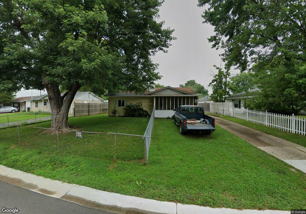
102 Brookside Dr Whiteland, IN 46184
Estimated Value: $192,450 - $206,000
3
Beds
1
Bath
1,104
Sq Ft
$180/Sq Ft
Est. Value
About This Home
This home is located at 102 Brookside Dr, Whiteland, IN 46184 and is currently estimated at $199,113, approximately $180 per square foot. 102 Brookside Dr is a home located in Johnson County with nearby schools including Break-O-Day Elementary School, Clark-Pleasant Middle School, and Whiteland Community High School.
Ownership History
Date
Name
Owned For
Owner Type
Purchase Details
Closed on
Aug 17, 2009
Sold by
Gillespie Michael and Gillespie Melissa
Bought by
Work Scott
Current Estimated Value
Home Financials for this Owner
Home Financials are based on the most recent Mortgage that was taken out on this home.
Original Mortgage
$79,532
Interest Rate
5.21%
Mortgage Type
FHA
Create a Home Valuation Report for This Property
The Home Valuation Report is an in-depth analysis detailing your home's value as well as a comparison with similar homes in the area
Home Values in the Area
Average Home Value in this Area
Purchase History
| Date | Buyer | Sale Price | Title Company |
|---|---|---|---|
| Work Scott | -- | Security Title |
Source: Public Records
Mortgage History
| Date | Status | Borrower | Loan Amount |
|---|---|---|---|
| Previous Owner | Work Scott | $79,532 |
Source: Public Records
Tax History
| Year | Tax Paid | Tax Assessment Tax Assessment Total Assessment is a certain percentage of the fair market value that is determined by local assessors to be the total taxable value of land and additions on the property. | Land | Improvement |
|---|---|---|---|---|
| 2025 | $1,285 | $155,300 | $42,000 | $113,300 |
| 2024 | $1,285 | $144,400 | $42,000 | $102,400 |
| 2023 | $1,273 | $139,100 | $42,000 | $97,100 |
| 2022 | $1,326 | $128,400 | $35,000 | $93,400 |
| 2021 | $1,096 | $114,300 | $35,000 | $79,300 |
| 2020 | $611 | $83,400 | $21,000 | $62,400 |
| 2019 | $526 | $78,300 | $16,000 | $62,300 |
| 2018 | $510 | $77,000 | $13,500 | $63,500 |
| 2017 | $504 | $76,200 | $13,500 | $62,700 |
| 2016 | $447 | $70,800 | $13,500 | $57,300 |
| 2014 | $441 | $67,600 | $14,400 | $53,200 |
| 2013 | $441 | $69,300 | $14,400 | $54,900 |
Source: Public Records
Map
Nearby Homes
- 217 Crestwood Dr
- 135 Bradford Place
- 153 Parkview Dr
- 138 Crestwood Dr
- 122 Bel Aire Dr
- 451 Mooreland Dr
- 35 Lynwood Dr
- 239 Shelton Place
- 0 E 700 N Unit MBR22036500
- 62 Wild Turkey Run
- 559 Parkway St
- 821 Princeton Dr
- 250 Southlane Dr
- 624 Sweetbriar Ave
- 121 Halldale Dr
- 79 Gnarled Oak Ln
- 182 Johns Island Way
- 435 Southlane Dr
- 4810 N Centerline Rd
- 144 Bluestem Ln
- 108 Brookside Dr
- 46 Brookside Dr
- 114 Brookside Dr
- 40 Brookside Dr
- 43 Parkview Dr
- 53 Brookside Dr
- 37 Parkview Dr
- 103 Brookside Dr
- 47 Brookside Dr
- 120 Brookside Dr
- 109 Brookside Dr
- 49 Parkview Dr
- 30 Brookside Dr
- 115 Brookside Dr
- 126 Brookside Dr
- 26 Brookside Dr
- 121 Brookside Dr
- 22 Brookside Dr
- 51 Parkview Dr
- 127 Brookside Dr
Your Personal Tour Guide
Ask me questions while you tour the home.